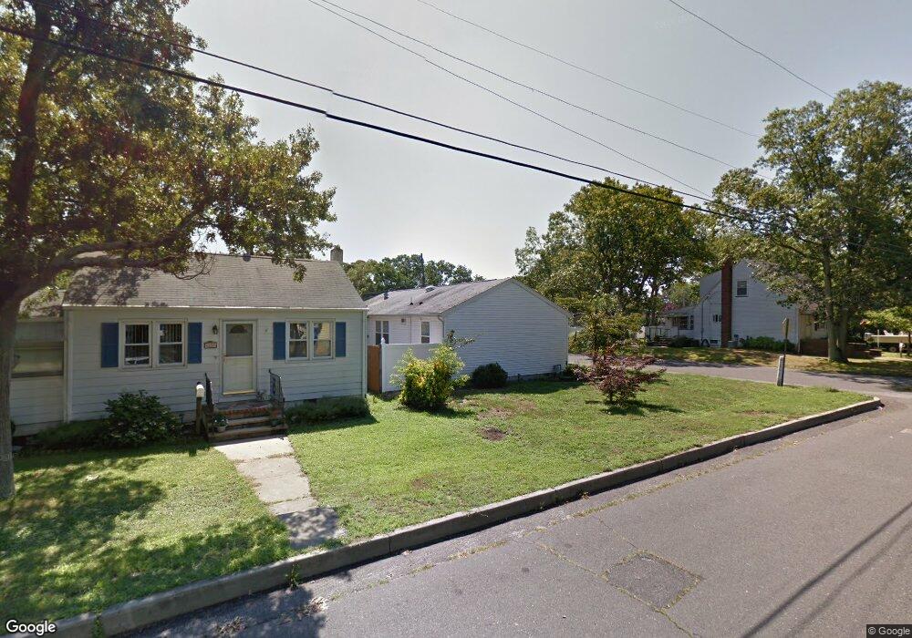
1114 Curtis Ave Point Pleasant Beach, NJ 08742
Estimated Value: $589,000 - $643,000
2
Beds
2
Baths
1,152
Sq Ft
$534/Sq Ft
Est. Value
About This Home
This home is located at 1114 Curtis Ave, Point Pleasant Beach, NJ 08742 and is currently estimated at $615,714, approximately $534 per square foot. 1114 Curtis Ave is a home located in Ocean County with nearby schools including Chillicothe Primary School, Point Pleasant High School, and St Dominic School.
Ownership History
Date
Name
Owned For
Owner Type
Purchase Details
Closed on
Apr 23, 2004
Sold by
Blasi Frank and Blasi Vincent
Bought by
Delaney James and Delaney Arlene
Current Estimated Value
Purchase Details
Closed on
Aug 15, 2001
Sold by
Dennis Holly
Bought by
Blasi Frank
Home Financials for this Owner
Home Financials are based on the most recent Mortgage that was taken out on this home.
Original Mortgage
$113,000
Interest Rate
7.21%
Create a Home Valuation Report for This Property
The Home Valuation Report is an in-depth analysis detailing your home's value as well as a comparison with similar homes in the area
Home Values in the Area
Average Home Value in this Area
Purchase History
| Date | Buyer | Sale Price | Title Company |
|---|---|---|---|
| Delaney James | $317,000 | None Available | |
| Blasi Frank | $170,000 | -- | |
| Blasi Frank | $170,000 | -- |
Source: Public Records
Mortgage History
| Date | Status | Borrower | Loan Amount |
|---|---|---|---|
| Previous Owner | Blasi Frank | $113,000 |
Source: Public Records
Tax History Compared to Growth
Tax History
| Year | Tax Paid | Tax Assessment Tax Assessment Total Assessment is a certain percentage of the fair market value that is determined by local assessors to be the total taxable value of land and additions on the property. | Land | Improvement |
|---|---|---|---|---|
| 2025 | $5,825 | $254,700 | $161,500 | $93,200 |
| 2024 | $5,568 | $254,700 | $161,500 | $93,200 |
| 2023 | $5,453 | $254,700 | $161,500 | $93,200 |
| 2022 | $5,453 | $254,700 | $161,500 | $93,200 |
| 2021 | $5,344 | $254,700 | $161,500 | $93,200 |
| 2020 | $5,313 | $254,700 | $161,500 | $93,200 |
| 2019 | $5,242 | $254,700 | $161,500 | $93,200 |
| 2018 | $5,086 | $254,700 | $161,500 | $93,200 |
| 2017 | $4,974 | $254,700 | $161,500 | $93,200 |
| 2016 | $4,936 | $254,700 | $161,500 | $93,200 |
| 2015 | $4,878 | $254,700 | $161,500 | $93,200 |
| 2014 | $4,765 | $254,700 | $161,500 | $93,200 |
Source: Public Records
Map
Nearby Homes
- 1202 Sunset Ave
- 2412 Willow St
- 1204 Treeneedle Rd
- 2704 Route 88
- 611 Boulton Ave
- 1404-1406 Treeneedle Rd
- 1328 Sleepy Hollow Rd
- 519 Curtis Ave
- 2410 Mark Place
- 1115 Beaver Dam Rd
- 601 Marshall Dr
- 3105 Cambridge Dr
- 1538 Northstream Pkwy
- 2821 Herbertsville Rd
- 2401 Mallow St
- 3006 Herbertsville Rd
- 1409 Susan Ln
- 1553 Littlehill Rd
- 3403 Bridge Ave Unit 13
- 550 Crestview Terrace
- 1112 Curtis Ave
- 2611 Moore Ave
- 1110 Curtis Ave
- 1200 Curtis Ave
- 2609 Moore Ave
- 2610 Beech St
- 1108 Curtis Ave
- 2610 Moore Ave
- 1115 Curtis Ave
- 1113 Curtis Ave
- 1202 Curtis Ave
- 2700 Moore Ave
- 2608 Beech St
- 2607 Moore Ave
- 1111 Curtis Ave
- 2606 Beech St
- 1109 Curtis Ave
- 1203 Sunrise Ave
- 2605 Moore Ave
- 1106 Curtis Ave