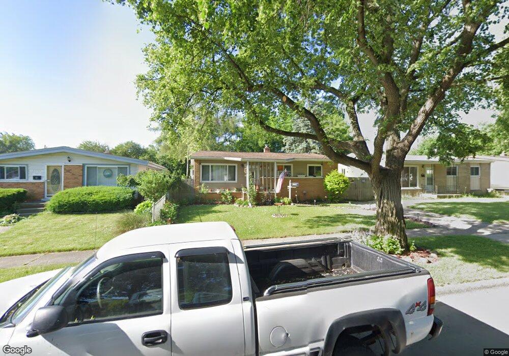
1114 Macdonald Ave Flint, MI 48507
Circle Drive NeighborhoodEstimated Value: $85,341 - $104,000
3
Beds
1
Bath
1,050
Sq Ft
$87/Sq Ft
Est. Value
About This Home
This home is located at 1114 Macdonald Ave, Flint, MI 48507 and is currently estimated at $90,835, approximately $86 per square foot. 1114 Macdonald Ave is a home located in Genesee County with nearby schools including Freeman Elementary School, Flint Southwestern Classical Academy, and Burton Glen Charter Academy.
Ownership History
Date
Name
Owned For
Owner Type
Purchase Details
Closed on
Aug 11, 2004
Sold by
Estate Of Iva M Branham
Bought by
Pendergrass James B
Current Estimated Value
Home Financials for this Owner
Home Financials are based on the most recent Mortgage that was taken out on this home.
Original Mortgage
$51,592
Outstanding Balance
$25,753
Interest Rate
6.1%
Mortgage Type
FHA
Estimated Equity
$65,082
Create a Home Valuation Report for This Property
The Home Valuation Report is an in-depth analysis detailing your home's value as well as a comparison with similar homes in the area
Home Values in the Area
Average Home Value in this Area
Purchase History
| Date | Buyer | Sale Price | Title Company |
|---|---|---|---|
| Pendergrass James B | $52,000 | Cislo Title Company |
Source: Public Records
Mortgage History
| Date | Status | Borrower | Loan Amount |
|---|---|---|---|
| Open | Pendergrass James B | $51,592 | |
| Closed | Pendergrass James B | $4,362 |
Source: Public Records
Tax History
| Year | Tax Paid | Tax Assessment Tax Assessment Total Assessment is a certain percentage of the fair market value that is determined by local assessors to be the total taxable value of land and additions on the property. | Land | Improvement |
|---|---|---|---|---|
| 2025 | $920 | $39,200 | $0 | $0 |
| 2024 | $835 | $33,900 | $0 | $0 |
| 2023 | $822 | $28,500 | $0 | $0 |
| 2022 | $0 | $21,800 | $0 | $0 |
| 2021 | $853 | $20,700 | $0 | $0 |
| 2020 | $772 | $20,200 | $0 | $0 |
| 2019 | $753 | $14,200 | $0 | $0 |
| 2018 | $748 | $11,300 | $0 | $0 |
| 2017 | $728 | $0 | $0 | $0 |
| 2016 | $723 | $0 | $0 | $0 |
| 2015 | -- | $0 | $0 | $0 |
| 2014 | -- | $0 | $0 | $0 |
| 2012 | -- | $13,900 | $0 | $0 |
Source: Public Records
Map
Nearby Homes
- 4424 Cheyenne Ave
- 802 McKeighan Ave
- 818 Dell Ave
- 3128 Ludwig St
- 621 Lochhead Ave
- 530 McKeighan Ave
- 3056 Shaw St
- 0000 E Bristol Rd
- 621 Burroughs Ave
- 630 Buckingham Ave
- 4127 Custer Ave
- 3505 Comanche Ave
- 3512 Barcey Ct
- 4205 Red Arrow Rd
- 416 Burroughs Ave
- 3442 Griffith Ct
- 2371 E Parkwood Ave
- 2194 E Bristol Rd
- 338 Browning Ave
- 2231 E Bergin Ave
- 1110 Macdonald Ave
- 1118 Macdonald Ave
- 1106 Macdonald Ave
- 1113 E Hemphill Rd
- 1109 E Hemphill Rd
- 1117 E Hemphill Rd
- 1102 Macdonald Ave
- 1105 E Hemphill Rd
- 1113 Macdonald Ave
- 1117 Macdonald Ave
- 1109 Macdonald Ave
- 1101 E Hemphill Rd
- 1022 Macdonald Ave Unit Bldg-Unit
- 1022 Macdonald Ave
- 1105 Macdonald Ave
- 1021 E Hemphill Rd
- 1101 Macdonald Ave
- 1018 Macdonald Ave
- 1021 Macdonald Ave
- 4510 Cheyenne Ave
Your Personal Tour Guide
Ask me questions while you tour the home.