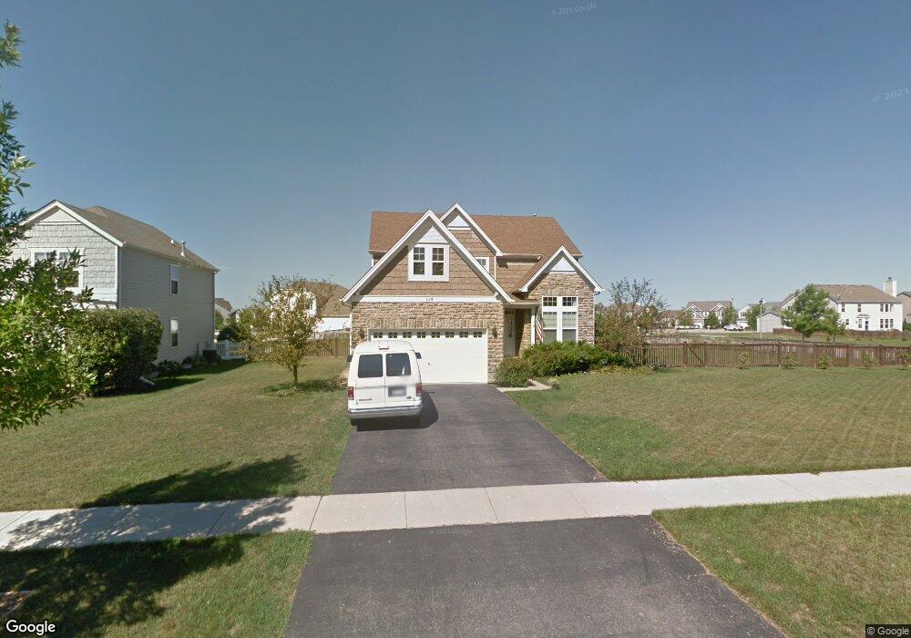
1114 Mackenzie Dr Antioch, IL 60002
Estimated Value: $366,000 - $413,063
4
Beds
3
Baths
2,306
Sq Ft
$170/Sq Ft
Est. Value
About This Home
This home is located at 1114 Mackenzie Dr, Antioch, IL 60002 and is currently estimated at $391,266, approximately $169 per square foot. 1114 Mackenzie Dr is a home located in Lake County with nearby schools including Antioch Community High School.
Ownership History
Date
Name
Owned For
Owner Type
Purchase Details
Closed on
Dec 30, 2005
Sold by
Neumann Homes Inc
Bought by
Stevens Kevin E and Stevens Alisa V
Current Estimated Value
Home Financials for this Owner
Home Financials are based on the most recent Mortgage that was taken out on this home.
Original Mortgage
$213,458
Interest Rate
8.4%
Mortgage Type
Fannie Mae Freddie Mac
Create a Home Valuation Report for This Property
The Home Valuation Report is an in-depth analysis detailing your home's value as well as a comparison with similar homes in the area
Home Values in the Area
Average Home Value in this Area
Purchase History
| Date | Buyer | Sale Price | Title Company |
|---|---|---|---|
| Stevens Kevin E | $267,000 | Chicago Title Insurance Co |
Source: Public Records
Mortgage History
| Date | Status | Borrower | Loan Amount |
|---|---|---|---|
| Previous Owner | Stevens Kevin E | $213,458 |
Source: Public Records
Tax History Compared to Growth
Tax History
| Year | Tax Paid | Tax Assessment Tax Assessment Total Assessment is a certain percentage of the fair market value that is determined by local assessors to be the total taxable value of land and additions on the property. | Land | Improvement |
|---|---|---|---|---|
| 2024 | $12,260 | $112,918 | $13,213 | $99,705 |
| 2023 | $11,405 | $101,108 | $11,831 | $89,277 |
| 2022 | $11,405 | $89,763 | $13,159 | $76,604 |
| 2021 | $10,773 | $83,758 | $12,279 | $71,479 |
| 2020 | $10,594 | $81,445 | $11,940 | $69,505 |
| 2019 | $10,713 | $77,885 | $11,418 | $66,467 |
| 2018 | $9,557 | $69,652 | $12,545 | $57,107 |
| 2017 | $9,470 | $66,298 | $11,941 | $54,357 |
| 2016 | $9,250 | $63,982 | $11,524 | $52,458 |
| 2015 | $7,087 | $62,355 | $11,231 | $51,124 |
| 2014 | $5,679 | $54,922 | $13,641 | $41,281 |
| 2012 | $5,641 | $54,922 | $13,641 | $41,281 |
Source: Public Records
Map
Nearby Homes
- 1062 Neuhaven Dr
- 1214 Jerome Ct
- 1055 Christine Ln
- 1063 Joy Ct
- 1056 Deertrail Ct
- 1082 Holly Dr
- 1286 Goldfinch Ln
- 1328 Blue Heron Cir
- 39930 Savage Rd
- 631 Hidden Creek Dr
- 1101 N Deep Lake Rd
- 895 Timber Lake Dr
- 865 Sterling Heights Dr
- 42909 N Deep Lake Rd
- 20215 W Miller Rd
- 41092 N Deep Lake Rd
- 336 Oakhill Ct
- 19900 128th St Unit 44
- 19900 128th St Unit 317
- 19900 128th St Unit 210
- 1122 Mackenzie Dr
- 1130 Mackenzie Dr
- 1288 Sandy Dr
- 1125 Mackenzie Dr
- 1098 Mackenzie Dr
- 1284 Sandy Dr
- 1117 Mackenzie Dr
- 1111 Mackenzie Dr
- 1138 Mackenzie Dr
- 1099 Neuhaven Dr
- 1280 Sandy Dr
- 1094 Mackenzie Dr
- 1131 Mackenzie Dr
- 1099 Mackenzie Dr
- 1095 Neuhaven Dr
- 1144 Mackenzie Dr
- 1139 Mackenzie Dr
- 1088 Mackenzie Dr
- 1093 Mackenzie Dr
- 1089 Neuhaven Dr