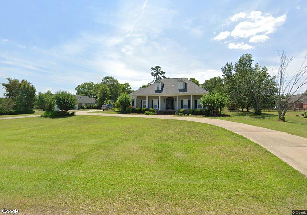
1114 Milltowne Dr Wesson, MS 39191
Estimated Value: $267,000 - $340,905
About This Home
This home is located at 1114 Milltowne Dr, Wesson, MS 39191 and is currently estimated at $313,976, approximately $120 per square foot. 1114 Milltowne Dr is a home located in Copiah County.
Ownership History
We collect this data history from publicly available records. To have your information removed, we recommend requesting removal directly through your county’s website.
Purchase Details
Home Financials for this Owner
Home Financials are based on the most recent Mortgage that was taken out on this home.Purchase Details
Home Financials for this Owner
Home Financials are based on the most recent Mortgage that was taken out on this home.Purchase Details
Home Financials for this Owner
Home Financials are based on the most recent Mortgage that was taken out on this home.Purchase History
We collect this data history from publicly available records. To have your information removed, we recommend requesting removal directly through your county’s website.
| Date | Buyer | Sale Price | Title Company |
|---|---|---|---|
| -- | -- | ||
| -- | -- | ||
| -- | -- | ||
| -- | -- |
Mortgage History
We collect this data history from publicly available records. To have your information removed, we recommend requesting removal directly through your county’s website.
| Date | Status | Borrower | Loan Amount |
|---|---|---|---|
| Open | $225,414 | ||
| Closed | $50,000 | ||
| Previous Owner | $233,434 | ||
| Closed | $220,000 | ||
| Previous Owner | $170,000 | ||
| Previous Owner | $225,000 | ||
| Previous Owner | $180,000 |
Tax History
We collect this data history from publicly available records. To have your information removed, we recommend requesting removal directly through your county’s website.
| Year | Tax Paid | Tax Assessment Tax Assessment Total Assessment is a certain percentage of the fair market value that is determined by local assessors to be the total taxable value of land and additions on the property. | Land | Improvement |
|---|---|---|---|---|
| 2025 | $3,029 | $23,585 | $0 | $0 |
| 2024 | $26 | $20,769 | $0 | $0 |
| 2023 | $2,574 | $19,902 | $0 | $0 |
| 2022 | $2,600 | $19,902 | $0 | $0 |
| 2021 | $2,531 | $19,902 | $0 | $0 |
| 2020 | $2,491 | $19,313 | $0 | $0 |
| 2019 | $2,520 | $19,313 | $0 | $0 |
| 2018 | $1,818 | $19,313 | $0 | $0 |
| 2017 | $1,959 | $20,825 | $0 | $0 |
| 2016 | $1,959 | $21,025 | $0 | $0 |
| 2015 | -- | $21,025 | $0 | $0 |
| 2014 | -- | $21,025 | $0 | $0 |
Map
- 1079 Beech St
- 000 Grover Smith Ln
- 0 Wells St
- 1008 Tannahill St
- 0 Loom St
- 1001 Lumley Ln
- 1041 3rd St
- 000 Furrs Mill Dr NE
- 0 Furrs Mill Dr NE
- 589 Mount Zion Rd
- 594 Mount Zion Rd
- 2548 Furrs Mill Dr NE
- 2127 Anderson Rd
- 3085 Beauregard Rd
- 0 Linwood Ln NE
- Lot 5 Bahalia Rd NE
- 4194 Martinsville Rd
- 3167 Bahalia Rd NE
- 1560 Bens Trail NE
- 0 Cline Rd
- 1001 Wolf Hollow Dr Unit 19
- 1001 Wolf Hollow Dr
- 1116 Milltowne Dr
- 1003 Wolf Hollow Dr
- 1008 Wolf Hollow Dr Unit 4
- 1008 Wolf Hollow Dr
- 1004 Wolf Hollow Dr Unit 2
- 1004 Wolf Hollow Dr
- 1002 Wolf Hollow Dr Unit 1
- 1002 Wolf Hollow Dr
- 1018 Wolf Hollow Dr Unit 9
- 1018 Wolf Hollow Dr
- 1005 Wolf Hollow Dr
- 1115 Milltowne Dr
- 1007 Wolf Hollow Dr
- 1113 Milltowne Dr
- 1118 Milltowne Dr
- ... Wolf Hollow Dr
- lot 10 Wolf Hollow Dr
- 0 Wolf Hollow Dr
Ask me questions while you tour the home.