1114 Moorestown Cir Decatur, GA 30033
Toco Hills NeighborhoodEstimated Value: $365,000 - $389,772
3
Beds
3
Baths
1,600
Sq Ft
$236/Sq Ft
Est. Value
About This Home
This home is located at 1114 Moorestown Cir, Decatur, GA 30033 and is currently estimated at $377,193, approximately $235 per square foot. 1114 Moorestown Cir is a home located in DeKalb County with nearby schools including Briar Vista Elementary School, Druid Hills Middle School, and Druid Hills High School.
Ownership History
Date
Name
Owned For
Owner Type
Purchase Details
Closed on
Oct 15, 2018
Sold by
Gibson Norman William
Bought by
Gibson Norman William and Gibson Patricia L
Current Estimated Value
Purchase Details
Closed on
Jul 18, 2000
Sold by
Gibson William C
Bought by
Gibson Norman W and Gibson Daniel L
Create a Home Valuation Report for This Property
The Home Valuation Report is an in-depth analysis detailing your home's value as well as a comparison with similar homes in the area
Home Values in the Area
Average Home Value in this Area
Purchase History
| Date | Buyer | Sale Price | Title Company |
|---|---|---|---|
| Gibson Norman William | -- | -- | |
| Gibson Norman W | -- | -- |
Source: Public Records
Tax History Compared to Growth
Tax History
| Year | Tax Paid | Tax Assessment Tax Assessment Total Assessment is a certain percentage of the fair market value that is determined by local assessors to be the total taxable value of land and additions on the property. | Land | Improvement |
|---|---|---|---|---|
| 2025 | $4,957 | $153,240 | $30,000 | $123,240 |
| 2024 | $5,258 | $155,080 | $30,000 | $125,080 |
| 2023 | $5,258 | $149,360 | $30,000 | $119,360 |
| 2022 | $4,559 | $134,880 | $16,000 | $118,880 |
| 2021 | $3,739 | $111,040 | $16,000 | $95,040 |
| 2020 | $3,569 | $105,960 | $16,000 | $89,960 |
| 2019 | $3,349 | $100,680 | $16,000 | $84,680 |
| 2018 | $2,956 | $96,400 | $13,600 | $82,800 |
| 2017 | $3,223 | $93,520 | $13,600 | $79,920 |
| 2016 | $3,211 | $95,560 | $13,600 | $81,960 |
| 2014 | $2,094 | $63,600 | $32,680 | $30,920 |
Source: Public Records
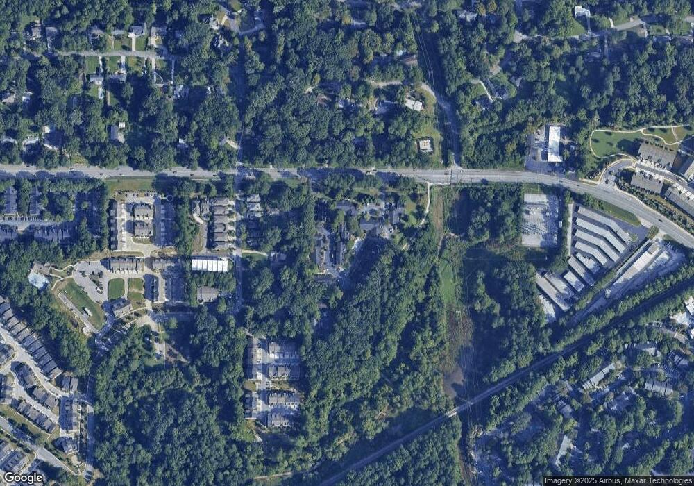
Map
Nearby Homes
- 1117 Moorestown Cir
- 2166 Rock Creek Park
- 1336 Stanley Park Dr
- 2147 Sylvania Dr
- 1322 Stanley Park Dr
- 2090 Emmet Park Ln Unit 425
- 3154 N Druid Hills Rd
- 2150 Azalea Cir
- 1155 Millennium Park Rd
- 1225 Hampton Park Rd
- 2059 Falls Park Way
- 2056 Falls Park Way Unit 230
- 1174 City Park Ln Unit 245
- 2076 Patterson Park Rd
- 2209 Willivee Place
- 2328 Medlock Ln
- 2068 Crossing Rd
- 2062 Crossing Rd
- 2132 Clairmont Rd
- 1181 Providence Place
- 1112 Moorestown Cir
- 1112 Moorestown Cir Unit 1112
- 1116 Moorestown Cir
- 1116 Moorestown Cir Unit 1116
- 1118 Moorestown Cir
- 1118 Moorestown Cir
- 1118 Moorestown Cir Unit 1118
- 1110 Moorestown Cir
- 1120 Moorestown Cir
- 1108 Moorestown Cir
- 1108 Moorestown Cir Unit 1108
- 1122 Moorestown Cir
- 1113 Moorestown Cir
- 1113 Moorestown Cir Unit 1113
- 1134 Moorestown Cir
- 1144 Moorestown Cir
- 1132 Moorestown Cir
- 1136 Moorestown Cir
- 1136 Moorestown Cir Unit 1136
- 1138 Moorestown Cir