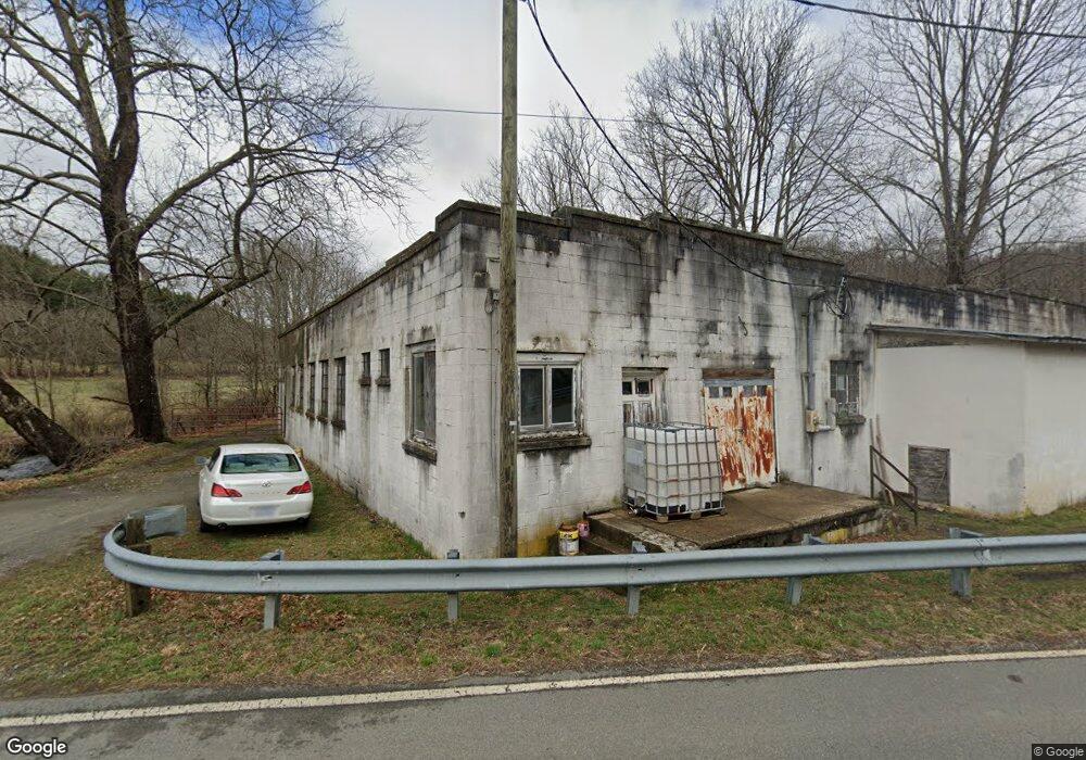
1114 Mulkey Branch Rd Creston, NC 28615
Estimated Value: $138,000 - $285,000
Studio
--
Bath
2,082
Sq Ft
$98/Sq Ft
Est. Value
About This Home
This home is located at 1114 Mulkey Branch Rd, Creston, NC 28615 and is currently estimated at $204,596, approximately $98 per square foot. 1114 Mulkey Branch Rd is a home with nearby schools including Ashe County High School.
Ownership History
Date
Name
Owned For
Owner Type
Purchase Details
Closed on
Sep 1, 2010
Sold by
Boccardy Jamie A
Bought by
Boccardy Joseph A
Current Estimated Value
Purchase Details
Closed on
Mar 2, 2007
Sold by
High Country Bank
Bought by
Boccardy Joseph A and Boccardy Jamie M
Home Financials for this Owner
Home Financials are based on the most recent Mortgage that was taken out on this home.
Original Mortgage
$67,320
Interest Rate
6.22%
Mortgage Type
New Conventional
Create a Home Valuation Report for This Property
The Home Valuation Report is an in-depth analysis detailing your home's value as well as a comparison with similar homes in the area
Home Values in the Area
Average Home Value in this Area
Purchase History
| Date | Buyer | Sale Price | Title Company |
|---|---|---|---|
| Boccardy Joseph A | -- | -- | |
| Boccardy Joseph A | $45,000 | -- |
Source: Public Records
Mortgage History
| Date | Status | Borrower | Loan Amount |
|---|---|---|---|
| Closed | Boccardy Joseph A | $67,320 |
Source: Public Records
Tax History
| Year | Tax Paid | Tax Assessment Tax Assessment Total Assessment is a certain percentage of the fair market value that is determined by local assessors to be the total taxable value of land and additions on the property. | Land | Improvement |
|---|---|---|---|---|
| 2025 | $785 | $149,900 | $40,000 | $109,900 |
| 2024 | $756 | $149,900 | $40,000 | $109,900 |
| 2023 | $756 | $149,900 | $40,000 | $109,900 |
| 2022 | $755 | $106,200 | $26,000 | $80,200 |
| 2021 | $755 | $106,200 | $26,000 | $80,200 |
| 2020 | $684 | $106,200 | $26,000 | $80,200 |
| 2019 | $684 | $106,200 | $26,000 | $80,200 |
| 2018 | $670 | $110,000 | $26,000 | $84,000 |
| 2016 | $672 | $110,000 | $26,000 | $84,000 |
| 2015 | $668 | $110,000 | $26,000 | $84,000 |
| 2014 | $668 | $117,000 | $26,000 | $91,000 |
Source: Public Records
Map
Nearby Homes
- 838 Rock Creek Rd
- 1946 River Breeze Dr
- 1411 Cabbage Creek Rd
- 17036 Nc 88 W Hwy
- Stonegate Ln
- 1284 River Breeze Dr Unit 9
- 1284 River Breeze Dr
- 6 Stonegate Ln
- 3786 Peak Rd
- Lot 69 Paradise Valley Rd
- 3160 Roundabout Rd
- TBD Paradise Valley Estates
- TBD Hwy 88 W
- Lot 7 Paradise Valley Estates
- 170 Lenape Ln
- TBD Lenape Ln
- TBD (0 96 Acre) Crestview Dr W
- TBD (0 834) Crestview Dr W
- lot 39 Rainbow Ridge Rd
- TBD (1 Acre) Crestview Dr W
- 1172 Rock Creek Rd
- 1034 Rock Creek Rd
- 973 Rock Creek Rd
- 971 Rock Creek Rd
- 1257 Rock Creek Rd
- 1381 Rock Creek Rd
- 868 Rock Creek Rd
- 1434 Rock Creek Rd
- 764 Rock Creek Rd
- 1510 Rock Creek Rd
- 690 A Mulkey Branch Rd
- 265 Mahala Rd
- 1546 Rock Creek Rd
- 760 Rock Creek Rd
- 690 Mulkey Branch Rd
- 690 B Mulkey Branch Rd
- 263 Mahala Rd
- 804 Mahala Rd
- 688 Rock Creek Rd
- 1581 Rock Creek Rd
Your Personal Tour Guide
Ask me questions while you tour the home.