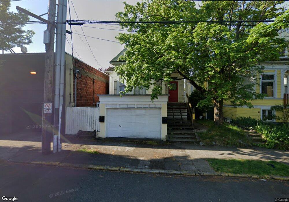
1114 NE Davis St Portland, OR 97232
Kerns NeighborhoodEstimated Value: $491,000 - $718,000
2
Beds
2
Baths
1,075
Sq Ft
$523/Sq Ft
Est. Value
About This Home
This home is located at 1114 NE Davis St, Portland, OR 97232 and is currently estimated at $562,696, approximately $523 per square foot. 1114 NE Davis St is a home located in Multnomah County with nearby schools including Buckman Elementary School, Hosford Middle School, and Cleveland High School.
Ownership History
Date
Name
Owned For
Owner Type
Purchase Details
Closed on
Feb 23, 1999
Sold by
Brisack Robert T and Brisack Barbara A
Bought by
Mcmickle Gregory Scott
Current Estimated Value
Home Financials for this Owner
Home Financials are based on the most recent Mortgage that was taken out on this home.
Original Mortgage
$111,200
Outstanding Balance
$30,527
Interest Rate
8.87%
Mortgage Type
Purchase Money Mortgage
Estimated Equity
$532,169
Create a Home Valuation Report for This Property
The Home Valuation Report is an in-depth analysis detailing your home's value as well as a comparison with similar homes in the area
Home Values in the Area
Average Home Value in this Area
Purchase History
| Date | Buyer | Sale Price | Title Company |
|---|---|---|---|
| Mcmickle Gregory Scott | -- | Fidelity National Title Co |
Source: Public Records
Mortgage History
| Date | Status | Borrower | Loan Amount |
|---|---|---|---|
| Open | Mcmickle Gregory Scott | $111,200 |
Source: Public Records
Tax History Compared to Growth
Tax History
| Year | Tax Paid | Tax Assessment Tax Assessment Total Assessment is a certain percentage of the fair market value that is determined by local assessors to be the total taxable value of land and additions on the property. | Land | Improvement |
|---|---|---|---|---|
| 2025 | $5,206 | $193,220 | -- | -- |
| 2024 | $5,019 | $187,600 | -- | -- |
| 2023 | $4,827 | $182,140 | $0 | $0 |
| 2022 | $4,722 | $176,840 | $0 | $0 |
| 2021 | $4,642 | $171,690 | $0 | $0 |
| 2020 | $4,258 | $166,690 | $0 | $0 |
| 2019 | $4,102 | $161,840 | $0 | $0 |
| 2018 | $3,981 | $157,130 | $0 | $0 |
| 2017 | $3,816 | $152,560 | $0 | $0 |
| 2016 | $3,492 | $148,120 | $0 | $0 |
| 2015 | $3,401 | $143,810 | $0 | $0 |
| 2014 | $3,350 | $139,630 | $0 | $0 |
Source: Public Records
Map
Nearby Homes
- 0 NE 9th Ave
- 722 NE Couch St
- 1504 SE Ankeny St
- 536 SE 17th Ave
- 533 NE Holladay St Unit 605
- 533 NE Holladay St Unit 601
- 533 NE Holladay St Unit 308
- 1626 SE Alder St
- 1305 SE Belmont St
- 1910 SE Stark St
- 1610 SE Morrison St Unit 1
- 1705 SE Morrison St
- 1612 SE Morrison St Unit 2
- 1614 SE Morrison St Unit 3
- 1616 SE Morrison St
- 2232 SE Ankeny St Unit 2
- 2234 SE Ankeny St Unit 3
- 2250 NE Flanders St Unit 3
- 1220 NE 17th Ave Unit 12B
- 1220 NE 17th Ave Unit 5A
- 1108 NE Davis St
- 1100 NE Davis St
- 117 NE 12th Ave
- 111 NE 12th Ave
- 32 NE 11th Ave Unit 2
- 32 NE 11th Ave
- 26 NE 11th Ave Unit ID1309845P
- 26 NE 11th Ave
- 37 NE 12th Ave
- 923 NE Couch St
- 911 NE Davis St
- 918 NE Davis St
- 1311 NE Davis St
- 904 NE Davis St
- 1313 E Burnside St
- 1313 E Burnside St
- 1250 E Burnside St
- 1250 E Burnside St
- 21 SE 11th Ave Unit 1
- 55 SE 11th Ave