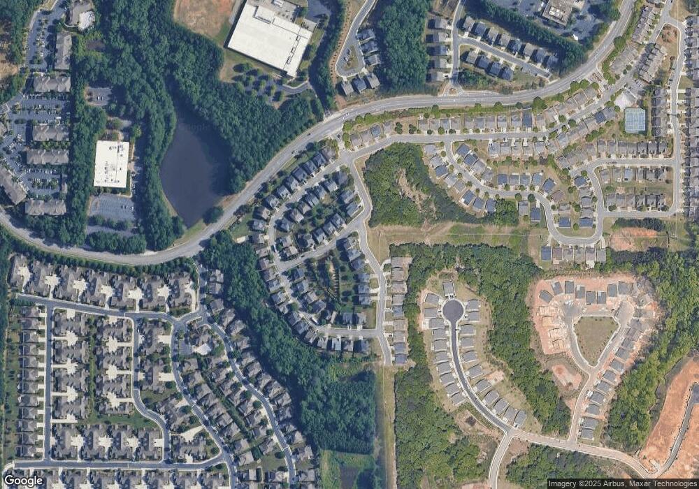
11141 Densford Way Duluth, GA 30097
Estimated Value: $781,424 - $909,000
4
Beds
3
Baths
3,322
Sq Ft
$249/Sq Ft
Est. Value
About This Home
This home is located at 11141 Densford Way, Duluth, GA 30097 and is currently estimated at $826,606, approximately $248 per square foot. 11141 Densford Way is a home with nearby schools including Shakerag Elementary School, River Trail Middle School, and Northview High School.
Ownership History
Date
Name
Owned For
Owner Type
Purchase Details
Closed on
Feb 4, 2022
Sold by
Kapoor Amit
Bought by
Kapoor Deepti
Current Estimated Value
Purchase Details
Closed on
Dec 28, 2011
Sold by
Kapoor Amit
Bought by
Kapoor Amit and Kapoor Deepit
Home Financials for this Owner
Home Financials are based on the most recent Mortgage that was taken out on this home.
Original Mortgage
$337,250
Interest Rate
4.06%
Mortgage Type
New Conventional
Create a Home Valuation Report for This Property
The Home Valuation Report is an in-depth analysis detailing your home's value as well as a comparison with similar homes in the area
Home Values in the Area
Average Home Value in this Area
Purchase History
| Date | Buyer | Sale Price | Title Company |
|---|---|---|---|
| Kapoor Deepti | -- | -- | |
| Kapoor Amit | $381,091 | -- | |
| Kapoor Amit | $381,091 | -- |
Source: Public Records
Mortgage History
| Date | Status | Borrower | Loan Amount |
|---|---|---|---|
| Previous Owner | Kapoor Amit | $337,250 |
Source: Public Records
Tax History Compared to Growth
Tax History
| Year | Tax Paid | Tax Assessment Tax Assessment Total Assessment is a certain percentage of the fair market value that is determined by local assessors to be the total taxable value of land and additions on the property. | Land | Improvement |
|---|---|---|---|---|
| 2025 | $4,662 | $314,240 | $73,240 | $241,000 |
| 2023 | $6,289 | $222,800 | $45,280 | $177,520 |
| 2022 | $4,471 | $222,800 | $45,280 | $177,520 |
| 2021 | $4,414 | $176,320 | $32,480 | $143,840 |
| 2020 | $4,437 | $161,560 | $27,120 | $134,440 |
| 2019 | $546 | $172,920 | $30,480 | $142,440 |
| 2018 | $4,781 | $168,840 | $29,760 | $139,080 |
| 2017 | $4,384 | $143,680 | $41,400 | $102,280 |
| 2016 | $4,293 | $143,680 | $41,400 | $102,280 |
| 2015 | $4,339 | $143,680 | $41,400 | $102,280 |
| 2014 | $4,087 | $128,920 | $37,160 | $91,760 |
Source: Public Records
Map
Nearby Homes
- 11100 Brookhavenclub Dr
- 6879 Downs Ave
- 320 Brookhaven Walk
- 345 Wiman Park Ln
- 828 Olmsted Ln
- 211 Hamlet Dr
- 120 Croftwood Ct
- 7067 Walham Grove
- 951 Olmsted Ln
- 7405 Ledgewood Way
- 7520 Ledgewood Way
- 8095 Georgetown Cir
- 1001 Shurcliff Ln
- 7315 Craigleith Dr
- 1305 Simonds Way
- 260 Ketton Downs
- 10792 Glenleigh Dr Unit 5B2
- 10723 Glenleigh Dr
- 445 Stedford Ln
- 11137 Densford Way
- 11133 Densford Way
- 320 Ashbrook Blvd
- 316 Ashbrook Blvd
- 312 Ashbrook Blvd
- 328 Ashbrook Blvd
- 0 Ashbrook Blvd
- 308 Ashbrook Blvd
- 332 Ashbrook Blvd
- 11125 Densford Way
- 11132 Densford Way
- 11229 Gates Terrace
- 11121 Densford Way
- 11128 Densford Way
- 11217 Gates Terrace
- 11197 Gates Terrace
- 11221 Gates Terrace
- 11189 Gates Terrace
- 11233 Gates Terrace
- 11237 Gates Terrace
