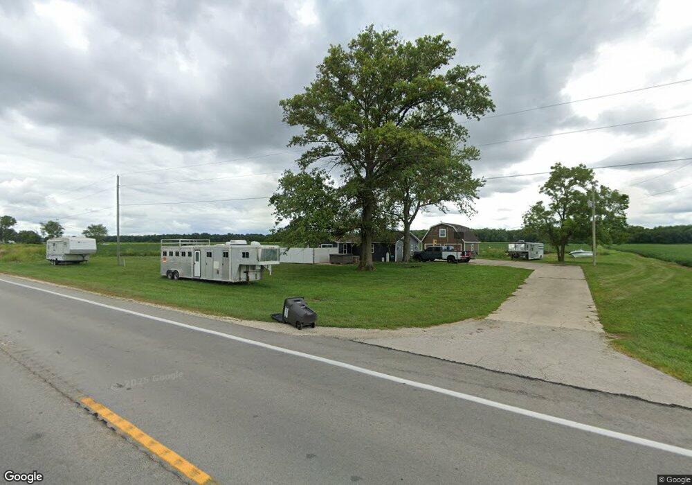
11141 Us Route 127 Mendon, OH 45862
Estimated Value: $166,428 - $262,000
3
Beds
2
Baths
1,561
Sq Ft
$127/Sq Ft
Est. Value
About This Home
This home is located at 11141 Us Route 127, Mendon, OH 45862 and is currently estimated at $198,357, approximately $127 per square foot. 11141 Us Route 127 is a home located in Mercer County with nearby schools including Parkway Elementary School, Parkway Middle School, and Parkway High School.
Ownership History
Date
Name
Owned For
Owner Type
Purchase Details
Closed on
Nov 5, 2024
Sold by
3 M Enterprise Llc
Bought by
Mullins Makenzie L and Markins Hunter C
Current Estimated Value
Home Financials for this Owner
Home Financials are based on the most recent Mortgage that was taken out on this home.
Original Mortgage
$183,838
Outstanding Balance
$181,994
Interest Rate
6.08%
Mortgage Type
New Conventional
Estimated Equity
$16,363
Purchase Details
Closed on
Oct 7, 2021
Sold by
Harrod John W and Harrod Rach
Bought by
3 M Enterprises Llc
Purchase Details
Closed on
Aug 24, 2009
Sold by
Vangundy David E and Van Gundy Debra Sue
Bought by
Harrod John W and Gardner Raeh
Home Financials for this Owner
Home Financials are based on the most recent Mortgage that was taken out on this home.
Original Mortgage
$105,061
Interest Rate
5.29%
Mortgage Type
FHA
Create a Home Valuation Report for This Property
The Home Valuation Report is an in-depth analysis detailing your home's value as well as a comparison with similar homes in the area
Home Values in the Area
Average Home Value in this Area
Purchase History
| Date | Buyer | Sale Price | Title Company |
|---|---|---|---|
| Mullins Makenzie L | $212,333 | Four Diamond Title | |
| Mullins Makenzie L | $212,333 | Four Diamond Title | |
| 3 M Enterprises Llc | $57,514 | None Available | |
| Harrod John W | $107,000 | Attorney |
Source: Public Records
Mortgage History
| Date | Status | Borrower | Loan Amount |
|---|---|---|---|
| Open | Mullins Makenzie L | $183,838 | |
| Closed | Mullins Makenzie L | $183,838 | |
| Previous Owner | Harrod John W | $105,061 |
Source: Public Records
Tax History Compared to Growth
Tax History
| Year | Tax Paid | Tax Assessment Tax Assessment Total Assessment is a certain percentage of the fair market value that is determined by local assessors to be the total taxable value of land and additions on the property. | Land | Improvement |
|---|---|---|---|---|
| 2024 | $1,487 | $42,950 | $7,950 | $35,000 |
| 2023 | $1,487 | $8,960 | $5,250 | $3,710 |
| 2022 | $267 | $6,200 | $3,430 | $2,770 |
| 2021 | $263 | $6,200 | $3,430 | $2,770 |
| 2020 | $211 | $9,950 | $7,740 | $2,210 |
| 2019 | $371 | $9,100 | $7,210 | $1,890 |
| 2018 | $1,389 | $35,910 | $7,210 | $28,700 |
| 2017 | $1,253 | $35,600 | $7,210 | $28,390 |
| 2016 | $1,128 | $31,190 | $6,160 | $25,030 |
| 2015 | $1,116 | $31,190 | $6,160 | $25,030 |
| 2014 | $1,118 | $31,190 | $6,160 | $25,030 |
| 2013 | $1,339 | $33,920 | $6,690 | $27,230 |
Source: Public Records
Map
Nearby Homes
- 0 Drake St
- 206 Glenn St
- 12029 Dutton Rd
- 8323 Deep Cut Rd
- 208 W Pearl St
- 208 Market St
- 404 W South St
- 7957 W Bridge St
- 5062 Mercer van Wert County Line Rd
- 9155 Us Route 127
- 0 Wilson Unit 1037059
- 0 Wilson Unit 306333
- 0 Rockford West Rd Unit Lots 14- 28
- 11680 Coil Rd
- 11164 Erastus Durbin Rd
- 108 S Ball Rd
- 15845 Uus 127
- 7680 Celina Mendon Rd
- 1528 Mary Ln
- 2010 Barnsbury Ct
- 11141 Us Route 127
- 11141 U S 127
- 11051 U S 127
- 11051 U S Route 127
- 11051 Us Route 127
- 11229 Us Route 127
- 0 State Rte 707
- 10961 U S 127
- 10961 Us Route 127
- 10900 Us Route 127
- 5920 Ohio 707
- 5920 State Route 707
- 10851 U S Rte 127
- 10851 Us Route 127
- 6057 State Route 707
- 11516 Us Route 127
- 11516 U S 127
- 5982 Dutton Rd
- 5994 Dutton Rd
- 10988 Walls Rd