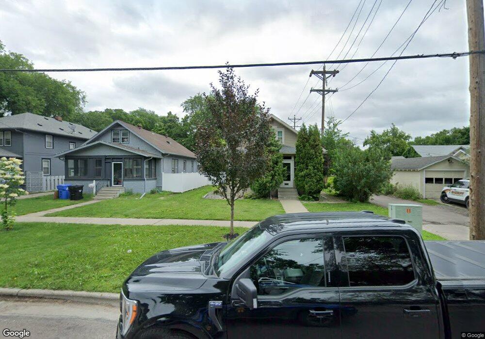
1115 11th Ave N Fargo, ND 58102
Roosevelt NeighborhoodEstimated Value: $243,000 - $259,073
4
Beds
2
Baths
2,434
Sq Ft
$104/Sq Ft
Est. Value
About This Home
This home is located at 1115 11th Ave N, Fargo, ND 58102 and is currently estimated at $253,018, approximately $103 per square foot. 1115 11th Ave N is a home located in Cass County with nearby schools including Horace Mann Roosevelt Elementary School, Ben Franklin Middle School, and North High School.
Ownership History
Date
Name
Owned For
Owner Type
Purchase Details
Closed on
Jun 12, 2018
Sold by
Rolewitz Bernard L and Rolewitz Michele M
Bought by
Thoiss Cullenn E
Current Estimated Value
Home Financials for this Owner
Home Financials are based on the most recent Mortgage that was taken out on this home.
Original Mortgage
$183,330
Outstanding Balance
$158,550
Interest Rate
4.5%
Mortgage Type
New Conventional
Estimated Equity
$94,468
Create a Home Valuation Report for This Property
The Home Valuation Report is an in-depth analysis detailing your home's value as well as a comparison with similar homes in the area
Home Values in the Area
Average Home Value in this Area
Purchase History
| Date | Buyer | Sale Price | Title Company |
|---|---|---|---|
| Thoiss Cullenn E | $189,000 | Fm Title Co |
Source: Public Records
Mortgage History
| Date | Status | Borrower | Loan Amount |
|---|---|---|---|
| Open | Thoiss Cullenn E | $183,330 |
Source: Public Records
Tax History Compared to Growth
Tax History
| Year | Tax Paid | Tax Assessment Tax Assessment Total Assessment is a certain percentage of the fair market value that is determined by local assessors to be the total taxable value of land and additions on the property. | Land | Improvement |
|---|---|---|---|---|
| 2024 | $3,381 | $114,400 | $15,850 | $98,550 |
| 2023 | $3,277 | $111,100 | $15,850 | $95,250 |
| 2022 | $2,890 | $99,300 | $15,850 | $83,450 |
| 2021 | $2,557 | $88,650 | $15,850 | $72,800 |
| 2020 | $2,526 | $88,650 | $15,850 | $72,800 |
| 2019 | $2,332 | $81,200 | $7,350 | $73,850 |
| 2018 | $2,305 | $81,200 | $7,350 | $73,850 |
| 2017 | $2,022 | $77,350 | $7,350 | $70,000 |
| 2016 | $1,804 | $75,100 | $7,350 | $67,750 |
| 2015 | $1,659 | $64,650 | $6,200 | $58,450 |
| 2014 | $1,621 | $61,550 | $6,200 | $55,350 |
| 2013 | $1,622 | $61,550 | $6,200 | $55,350 |
Source: Public Records
Map
Nearby Homes
- 1036 12th St N
- 1015 12th St N
- 1012 12th St N
- 1026 University Dr N
- 1109 10th St N
- 1010 University Dr N
- 1115 9th St N
- 1119 9th St N
- 1001 9th Ave N
- 802 11th Ave N
- 722 11th Ave N
- 824 9th St N
- 1261 10th St N
- 703 & 705 10th Ave N
- 911 8th St N
- 1329 12th St N
- 1111 7th St N
- 624 10th Ave N
- 717 9th St N
- 1316 8th St N
- 1119 11th Ave N
- 1123 11th Ave N
- 1106 11th St N
- 1113 12th St N
- 1102 11th St N
- 1110 11th St N
- 1117 12th St N
- 1118 11th St N
- 1045 12th St N
- 1201 11th Ave N
- 1121 12th St N
- 1108 11th Ave N
- 1042 11th St N
- 1122 11th St N
- 1211 11th Ave N
- 1041 12th St N
- 1125 12th St N
- 1112 12th St N
- 1112 12th St N Unit 107
- 1105 11th St N