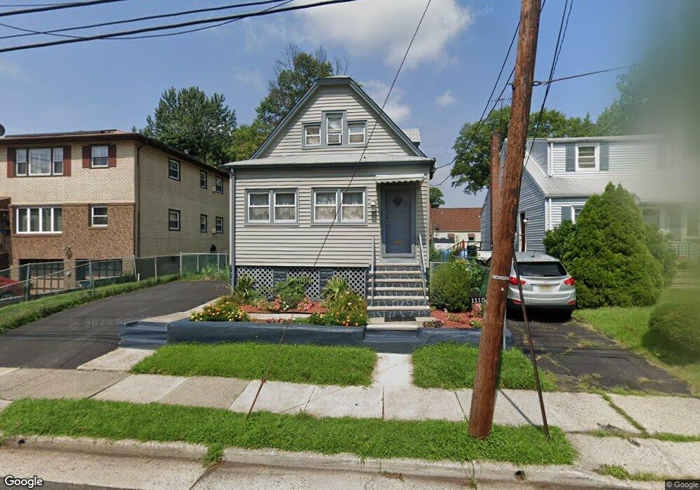
1115 Dill Ave Linden, NJ 07036
Estimated Value: $354,517 - $486,000
Studio
--
Bath
1,060
Sq Ft
$421/Sq Ft
Est. Value
About This Home
This home is located at 1115 Dill Ave, Linden, NJ 07036 and is currently estimated at $446,629, approximately $421 per square foot. 1115 Dill Ave is a home located in Union County with nearby schools including Dr Charles C Polk School, Grace Wilday Junior High School, and Leonard V. Moore Middle School.
Ownership History
Date
Name
Owned For
Owner Type
Purchase Details
Closed on
Feb 25, 2011
Sold by
Brooks Michael W and Brooks Lashawn C
Bought by
Brooks Michael W
Current Estimated Value
Purchase Details
Closed on
Jan 16, 2002
Sold by
Brooks Mattie
Bought by
Brooks Michael and Brooks Lashawn
Home Financials for this Owner
Home Financials are based on the most recent Mortgage that was taken out on this home.
Original Mortgage
$92,300
Outstanding Balance
$37,825
Interest Rate
7.08%
Mortgage Type
Purchase Money Mortgage
Estimated Equity
$408,804
Create a Home Valuation Report for This Property
The Home Valuation Report is an in-depth analysis detailing your home's value as well as a comparison with similar homes in the area
Home Values in the Area
Average Home Value in this Area
Purchase History
| Date | Buyer | Sale Price | Title Company |
|---|---|---|---|
| Brooks Michael W | -- | Stewart Title Guaranty Co | |
| Brooks Michael | -- | -- |
Source: Public Records
Mortgage History
| Date | Status | Borrower | Loan Amount |
|---|---|---|---|
| Open | Brooks Michael | $92,300 |
Source: Public Records
Tax History
| Year | Tax Paid | Tax Assessment Tax Assessment Total Assessment is a certain percentage of the fair market value that is determined by local assessors to be the total taxable value of land and additions on the property. | Land | Improvement |
|---|---|---|---|---|
| 2025 | $6,484 | $92,200 | $45,700 | $46,500 |
| 2024 | $6,342 | $92,200 | $45,700 | $46,500 |
| 2023 | $6,342 | $92,200 | $45,700 | $46,500 |
| 2022 | $6,375 | $92,200 | $45,700 | $46,500 |
| 2021 | $6,407 | $92,200 | $45,700 | $46,500 |
| 2020 | $6,373 | $92,200 | $45,700 | $46,500 |
| 2019 | $6,352 | $92,200 | $45,700 | $46,500 |
| 2018 | $6,350 | $92,200 | $45,700 | $46,500 |
| 2017 | $6,212 | $92,200 | $45,700 | $46,500 |
| 2016 | $6,017 | $92,200 | $45,700 | $46,500 |
| 2015 | $5,787 | $92,200 | $45,700 | $46,500 |
| 2014 | $5,675 | $92,200 | $45,700 | $46,500 |
Source: Public Records
Map
Nearby Homes
- 505 Saint Marks St Unit 2
- 1310 E Henry St
- 806 Lincoln St
- 830 E Curtis St
- 925 Essex Ave
- 832 Bergen Ave
- 1202 Warren St
- 721 E Curtis St
- 1123 Thompson Ave
- 918 Bower St
- 914 Bower St
- 506 Bower St
- 825 Jackson Ave
- 1129 Spruce St
- 811 Jackson Ave
- 731 Essex Ave
- 291 E 12th Ave
- 1025 Rivington St
- 609 Harrison Place
- 119 Grant St
- 1111 Dill Ave
- 1119 Dill Ave
- 1120 Passaic Ave
- 1122 Passaic Ave
- 1116 Passaic Ave
- 1101 Dill Ave
- 1127 Dill Ave
- 1100 Dill Ave
- 1110 Passaic Ave
- 1110 Dill Ave
- 1134 Passaic Ave
- 1135 Dill Ave
- 1100 Passaic Ave
- 1128 Dill Ave
- 1138 Passaic Ave
- 1130 Dill Ave
- 1137 Dill Ave
- 1142 Passaic Ave
- 1113 Monmouth Ave
- 1123 Passaic Ave
Your Personal Tour Guide
Ask me questions while you tour the home.