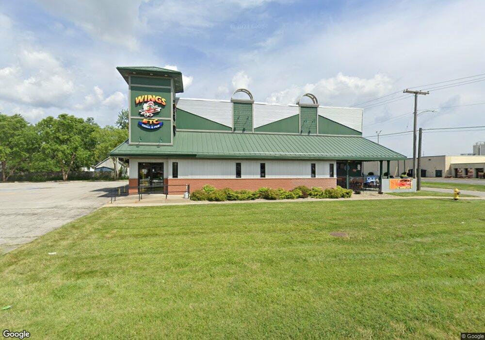
1115 E Lincolnway La Porte, IN 46350
--
Bed
--
Bath
5,218
Sq Ft
1.06
Acres
About This Home
This home is located at 1115 E Lincolnway, La Porte, IN 46350. 1115 E Lincolnway is a home located in LaPorte County with nearby schools including Hailmann Elementary School, La Porte High School, and Kesling Intermediate School.
Ownership History
Date
Name
Owned For
Owner Type
Purchase Details
Closed on
Jul 9, 2015
Sold by
Industrial Development Of Laporte Llc
Bought by
Trinity Development Group Llc
Home Financials for this Owner
Home Financials are based on the most recent Mortgage that was taken out on this home.
Original Mortgage
$400,000
Interest Rate
3.86%
Mortgage Type
Commercial
Purchase Details
Closed on
Mar 18, 2009
Sold by
The Laporte Savings Bank
Bought by
Industrial Development Of Laporte Llc
Home Financials for this Owner
Home Financials are based on the most recent Mortgage that was taken out on this home.
Original Mortgage
$840,000
Interest Rate
5.2%
Mortgage Type
Seller Take Back
Create a Home Valuation Report for This Property
The Home Valuation Report is an in-depth analysis detailing your home's value as well as a comparison with similar homes in the area
Home Values in the Area
Average Home Value in this Area
Purchase History
| Date | Buyer | Sale Price | Title Company |
|---|---|---|---|
| Trinity Development Group Llc | -- | None Available | |
| Industrial Development Of Laporte Llc | -- | Meridian Title Corp |
Source: Public Records
Mortgage History
| Date | Status | Borrower | Loan Amount |
|---|---|---|---|
| Closed | Trinity Development Group Llc | $400,000 | |
| Previous Owner | Industrial Development Of Laporte Llc | $840,000 |
Source: Public Records
Tax History Compared to Growth
Tax History
| Year | Tax Paid | Tax Assessment Tax Assessment Total Assessment is a certain percentage of the fair market value that is determined by local assessors to be the total taxable value of land and additions on the property. | Land | Improvement |
|---|---|---|---|---|
| 2024 | $8,003 | $262,700 | $66,000 | $196,700 |
| 2022 | $7,596 | $268,600 | $66,000 | $202,600 |
| 2021 | $7,596 | $253,200 | $66,000 | $187,200 |
| 2020 | $7,596 | $253,200 | $66,000 | $187,200 |
| 2019 | $7,644 | $253,200 | $66,000 | $187,200 |
| 2018 | $8,469 | $280,700 | $66,000 | $214,700 |
| 2017 | $8,409 | $278,700 | $66,000 | $212,700 |
| 2016 | $8,940 | $296,400 | $75,800 | $220,600 |
| 2014 | $8,412 | $280,400 | $43,900 | $236,500 |
| 2013 | $9,594 | $319,800 | $51,200 | $268,600 |
Source: Public Records
Map
Nearby Homes
- 717 E Lincolnway
- 1709 E Lincolnway
- 0 E Jefferson Ave
- 205 Lawrence St
- 6864 N Nature Ln
- 6862 N Nature Ln
- 414 Allen St
- 417 Roosevelt St
- 503 Grove St
- 0 Brighton St Unit NRA542345
- 810 Virginia Ave
- 916 Ohio St
- 907 Division St
- 506 Pulaski St
- 208 Norton St
- 807 Division St
- 330 Virginia Ave
- 161 W Mcclung Rd
- 1944 Park St
- 1960 Park St
- 106 Burson Ave
- 707-709 E Lincolnway
- 418 Oberreich St
- 108 Burson Ave
- 416 Oberreich St
- 412 Oberreich St
- 1223 E State Road 2
- 1223 E State Road 2
- 419 Oberreich St
- 417 Oberreich St
- 413 Oberreich St
- 410 Oberreich St
- 411 Oberreich St
- 408 Oberreich St
- 204 Burson Ave
- 432 Planett St
- 406 Oberreich St
- 407 Oberreich St
- 420 Planett St
- 418 Planett St