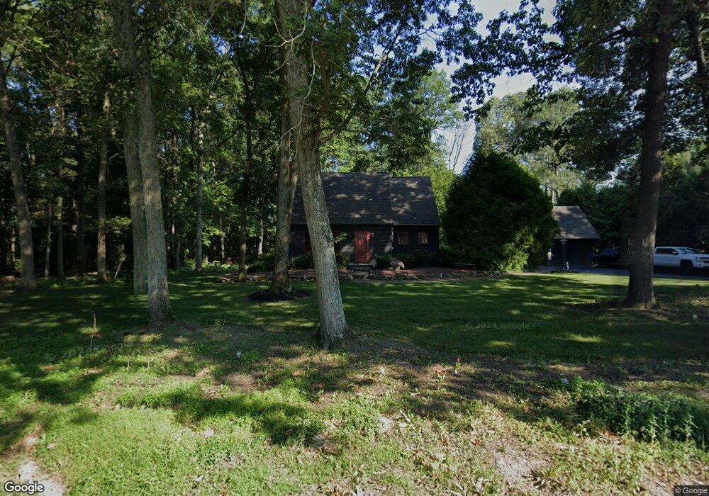
1115 Hoff Rd Hanover, PA 17331
Estimated Value: $301,635 - $491,000
2
Beds
2
Baths
1,688
Sq Ft
$212/Sq Ft
Est. Value
About This Home
This home is located at 1115 Hoff Rd, Hanover, PA 17331 and is currently estimated at $357,909, approximately $212 per square foot. 1115 Hoff Rd is a home located in York County with nearby schools including South Western Senior High School and Hope Christian School Of Hanover.
Ownership History
Date
Name
Owned For
Owner Type
Purchase Details
Closed on
Dec 28, 2016
Sold by
Albrecht David S and Albrecht Rebecca L
Bought by
Cole Charles E and Cole Suzanne M
Current Estimated Value
Home Financials for this Owner
Home Financials are based on the most recent Mortgage that was taken out on this home.
Original Mortgage
$225,000
Outstanding Balance
$184,460
Interest Rate
3.94%
Mortgage Type
New Conventional
Estimated Equity
$173,449
Purchase Details
Closed on
Aug 1, 1983
Bought by
Albrecht David S and Albrecht Rebecca L
Create a Home Valuation Report for This Property
The Home Valuation Report is an in-depth analysis detailing your home's value as well as a comparison with similar homes in the area
Home Values in the Area
Average Home Value in this Area
Purchase History
| Date | Buyer | Sale Price | Title Company |
|---|---|---|---|
| Cole Charles E | $250,000 | None Available | |
| Albrecht David S | $14,000 | -- |
Source: Public Records
Mortgage History
| Date | Status | Borrower | Loan Amount |
|---|---|---|---|
| Open | Cole Charles E | $225,000 |
Source: Public Records
Tax History
| Year | Tax Paid | Tax Assessment Tax Assessment Total Assessment is a certain percentage of the fair market value that is determined by local assessors to be the total taxable value of land and additions on the property. | Land | Improvement |
|---|---|---|---|---|
| 2025 | $5,064 | $150,260 | $39,530 | $110,730 |
| 2024 | $5,064 | $150,260 | $39,530 | $110,730 |
| 2023 | $4,974 | $150,260 | $39,530 | $110,730 |
| 2022 | $4,867 | $150,260 | $39,530 | $110,730 |
| 2021 | $4,601 | $150,260 | $39,530 | $110,730 |
| 2020 | $4,601 | $150,260 | $39,530 | $110,730 |
| 2019 | $4,512 | $150,260 | $39,530 | $110,730 |
| 2018 | $4,453 | $150,260 | $39,530 | $110,730 |
| 2017 | $4,350 | $150,260 | $39,530 | $110,730 |
| 2016 | $0 | $150,260 | $39,530 | $110,730 |
| 2015 | -- | $150,260 | $39,530 | $110,730 |
| 2014 | -- | $150,260 | $39,530 | $110,730 |
Source: Public Records
Map
Nearby Homes
- 70 Laurel Dr
- 1975 Smith Station Rd
- 1068 Grandview Rd
- 206 Hall Dr
- 116 Ruel Ave
- 225 Bragg Cir
- 29 Meadowview Dr
- 101 Overlook Dr
- 103 Overlook Dr
- 84 Lakeview Cir
- 517 Charles Ave
- 1753 Black Rock Rd
- 150 Mumma Ave
- 421 Charles Ave
- 48 Colonial Dr
- 819 8191/2 York St
- 44 Colonial Dr
- 12 Oneill Ave
- 917 Baltimore St
- 128 Zachary Dr
Your Personal Tour Guide
Ask me questions while you tour the home.