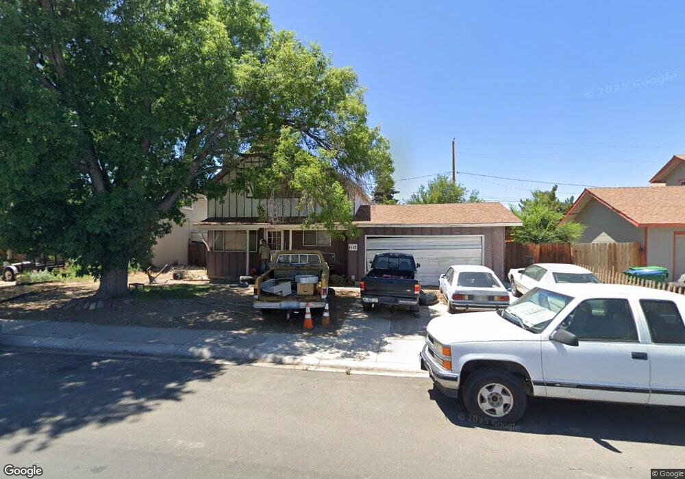
1115 Monitor Dr Reno, NV 89512
Northeast Reno NeighborhoodEstimated Value: $325,000 - $396,000
3
Beds
2
Baths
1,574
Sq Ft
$227/Sq Ft
Est. Value
About This Home
This home is located at 1115 Monitor Dr, Reno, NV 89512 and is currently estimated at $358,000, approximately $227 per square foot. 1115 Monitor Dr is a home located in Washoe County with nearby schools including Bernice Mathews Elementary School, Fred W. Traner Middle School, and Procter R. Hug High School.
Ownership History
Date
Name
Owned For
Owner Type
Purchase Details
Closed on
Jun 14, 2024
Sold by
Oberg Charles E
Bought by
Ceo Trust and Osmanski
Current Estimated Value
Purchase Details
Closed on
Mar 26, 2009
Sold by
Oberg Charles A
Bought by
Oberg Charles E
Purchase Details
Closed on
Oct 23, 2001
Sold by
Oberg Charles E and Oberg Charles A
Bought by
Oberg Charles A
Create a Home Valuation Report for This Property
The Home Valuation Report is an in-depth analysis detailing your home's value as well as a comparison with similar homes in the area
Home Values in the Area
Average Home Value in this Area
Purchase History
| Date | Buyer | Sale Price | Title Company |
|---|---|---|---|
| Ceo Trust | -- | None Listed On Document | |
| Oberg Charles E | -- | None Available | |
| Oberg Charles A | -- | -- | |
| Oberg Charles A | -- | -- |
Source: Public Records
Tax History Compared to Growth
Tax History
| Year | Tax Paid | Tax Assessment Tax Assessment Total Assessment is a certain percentage of the fair market value that is determined by local assessors to be the total taxable value of land and additions on the property. | Land | Improvement |
|---|---|---|---|---|
| 2026 | -- | $47,694 | $27,720 | $19,975 |
| 2025 | $980 | $47,426 | $27,685 | $19,741 |
| 2024 | $980 | $46,916 | $27,510 | $19,406 |
| 2023 | $908 | $45,367 | $27,370 | $17,997 |
| 2022 | $842 | $37,632 | $22,960 | $14,672 |
| 2021 | $781 | $30,025 | $15,750 | $14,275 |
| 2020 | $732 | $28,144 | $14,140 | $14,004 |
| 2019 | $698 | $26,881 | $13,650 | $13,231 |
| 2018 | $666 | $23,120 | $10,430 | $12,690 |
| 2017 | $639 | $22,289 | $9,835 | $12,454 |
| 2016 | $622 | $21,322 | $8,820 | $12,502 |
| 2015 | $159 | $19,139 | $6,895 | $12,244 |
| 2014 | $604 | $16,973 | $5,460 | $11,513 |
| 2013 | -- | $15,869 | $4,690 | $11,179 |
Source: Public Records
Map
Nearby Homes
- 168 Poppy Ln
- 135 Carnation Ln
- 112 Lilac Ln
- 113 Lilac Ln
- 1885 Castle Way
- 1990 Trainer Way
- 2301 Oddie Blvd Unit 56
- 2301 Oddie Blvd Unit 162
- 2301 Oddie Blvd Unit 18
- 920 Montello St
- 1414 E 9th St Unit 4
- 2090 Fife Dr
- 2335 Roundhouse Rd
- 2380 Roundhouse Rd
- 2282 Cannonball Rd
- 2371 Roundhouse Rd
- 1436 E 9th St Unit 8
- 1281 E 10th St
- 2136 Roundhouse Rd
- 2168 Cannonball Rd