1115 Moorestown Cir Decatur, GA 30033
Toco Hills NeighborhoodEstimated Value: $324,623 - $380,000
2
Beds
2
Baths
1,307
Sq Ft
$267/Sq Ft
Est. Value
About This Home
This home is located at 1115 Moorestown Cir, Decatur, GA 30033 and is currently estimated at $348,906, approximately $266 per square foot. 1115 Moorestown Cir is a home located in DeKalb County with nearby schools including Briar Vista Elementary School, Druid Hills Middle School, and Druid Hills High School.
Ownership History
Date
Name
Owned For
Owner Type
Purchase Details
Closed on
Mar 14, 2000
Sold by
Dollins Mary L
Bought by
Seawright Ernest
Current Estimated Value
Home Financials for this Owner
Home Financials are based on the most recent Mortgage that was taken out on this home.
Original Mortgage
$149,600
Outstanding Balance
$49,923
Interest Rate
8.29%
Mortgage Type
New Conventional
Estimated Equity
$298,983
Create a Home Valuation Report for This Property
The Home Valuation Report is an in-depth analysis detailing your home's value as well as a comparison with similar homes in the area
Home Values in the Area
Average Home Value in this Area
Purchase History
| Date | Buyer | Sale Price | Title Company |
|---|---|---|---|
| Seawright Ernest | $157,500 | -- |
Source: Public Records
Mortgage History
| Date | Status | Borrower | Loan Amount |
|---|---|---|---|
| Open | Seawright Ernest | $149,600 |
Source: Public Records
Tax History Compared to Growth
Tax History
| Year | Tax Paid | Tax Assessment Tax Assessment Total Assessment is a certain percentage of the fair market value that is determined by local assessors to be the total taxable value of land and additions on the property. | Land | Improvement |
|---|---|---|---|---|
| 2025 | $4,139 | $129,280 | $30,000 | $99,280 |
| 2024 | $4,193 | $123,480 | $30,000 | $93,480 |
| 2023 | $4,193 | $124,000 | $30,000 | $94,000 |
| 2022 | $3,678 | $109,280 | $16,000 | $93,280 |
| 2021 | $3,024 | $90,280 | $16,000 | $74,280 |
| 2020 | $3,029 | $90,280 | $16,000 | $74,280 |
| 2019 | $2,802 | $84,600 | $16,000 | $68,600 |
| 2018 | $2,473 | $77,800 | $13,600 | $64,200 |
| 2017 | $2,490 | $72,840 | $13,600 | $59,240 |
| 2016 | $2,289 | $68,840 | $13,600 | $55,240 |
| 2014 | $1,751 | $53,520 | $32,680 | $20,840 |
Source: Public Records
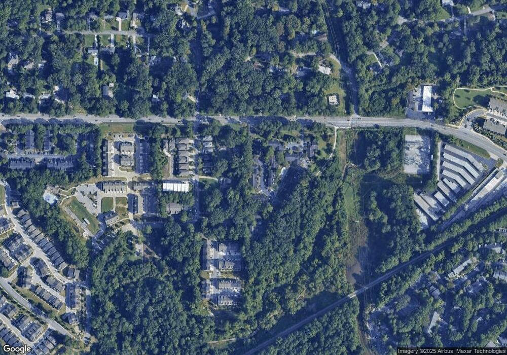
Map
Nearby Homes
- 1117 Moorestown Cir
- 2166 Rock Creek Park
- 1336 Stanley Park Dr
- 1322 Stanley Park Dr
- 2090 Emmet Park Ln Unit 425
- 2147 Sylvania Dr
- 3154 N Druid Hills Rd
- 1155 Millennium Park Rd
- 1225 Hampton Park Rd
- 2059 Falls Park Way
- 2209 Willivee Place
- 1174 City Park Ln Unit 245
- 2056 Falls Park Way Unit 230
- 2076 Patterson Park Rd
- 2150 Azalea Cir
- 2328 Medlock Ln
- 2068 Crossing Rd
- 2062 Crossing Rd
- 962 Manor Parc Dr
- 2343 Hunting Valley Dr
- 1111 Moorestown Cir
- 1113 Moorestown Cir
- 1113 Moorestown Cir Unit 1113
- 1119 Moorestown Cir
- 1120 Moorestown Cir
- 1118 Moorestown Cir
- 1118 Moorestown Cir
- 1118 Moorestown Cir Unit 1118
- 1121 Moorestown Cir
- 1121 Moorestown Cir Unit 1121
- 1116 Moorestown Cir
- 1116 Moorestown Cir Unit 1116
- 1122 Moorestown Cir
- 1123 Moorestown Cir
- 1106 Moorestown Cir Unit 1106
- 1106 Moorestown Cir
- 1125 Moorestown Cir Unit 1125
- 1125 Moorestown Cir
- 1114 Moorestown Cir
- 1109 Blackshear Dr