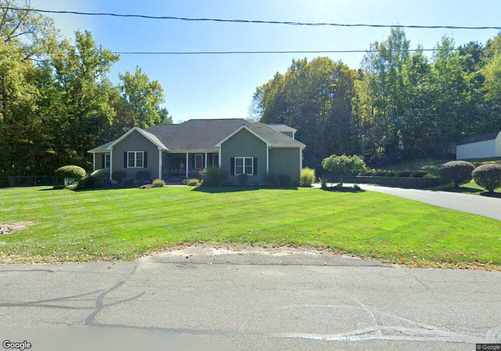
1115 Morgan Rd West Springfield, MA 01089
Estimated Value: $427,000 - $625,000
3
Beds
3
Baths
2,619
Sq Ft
$207/Sq Ft
Est. Value
About This Home
This home is located at 1115 Morgan Rd, West Springfield, MA 01089 and is currently estimated at $541,626, approximately $206 per square foot. 1115 Morgan Rd is a home located in Hampden County with nearby schools including West Springfield High School, Hampden Charter School of Science West, and St Thomas The Apostle School.
Ownership History
Date
Name
Owned For
Owner Type
Purchase Details
Closed on
Oct 1, 2007
Sold by
Nakhabenko Vladimir
Bought by
Fiorentino Darlene D and Fiorentino Thomas R
Current Estimated Value
Home Financials for this Owner
Home Financials are based on the most recent Mortgage that was taken out on this home.
Original Mortgage
$265,000
Outstanding Balance
$169,230
Interest Rate
6.65%
Mortgage Type
Purchase Money Mortgage
Estimated Equity
$372,396
Create a Home Valuation Report for This Property
The Home Valuation Report is an in-depth analysis detailing your home's value as well as a comparison with similar homes in the area
Home Values in the Area
Average Home Value in this Area
Purchase History
| Date | Buyer | Sale Price | Title Company |
|---|---|---|---|
| Fiorentino Darlene D | $119,500 | -- |
Source: Public Records
Mortgage History
| Date | Status | Borrower | Loan Amount |
|---|---|---|---|
| Open | Fiorentino Darlene D | $265,000 |
Source: Public Records
Tax History
| Year | Tax Paid | Tax Assessment Tax Assessment Total Assessment is a certain percentage of the fair market value that is determined by local assessors to be the total taxable value of land and additions on the property. | Land | Improvement |
|---|---|---|---|---|
| 2025 | $7,417 | $498,800 | $121,500 | $377,300 |
| 2024 | $7,359 | $496,900 | $121,500 | $375,400 |
| 2023 | $6,859 | $441,400 | $121,500 | $319,900 |
| 2022 | $6,161 | $390,900 | $110,400 | $280,500 |
| 2021 | $6,255 | $370,100 | $105,000 | $265,100 |
| 2020 | $6,278 | $369,500 | $105,000 | $264,500 |
| 2019 | $6,267 | $369,500 | $105,000 | $264,500 |
| 2018 | $6,300 | $369,500 | $105,000 | $264,500 |
| 2017 | $6,300 | $369,500 | $105,000 | $264,500 |
| 2016 | $6,257 | $368,300 | $101,100 | $267,200 |
| 2015 | $6,133 | $361,000 | $99,000 | $262,000 |
| 2014 | $1,328 | $361,000 | $99,000 | $262,000 |
Source: Public Records
Map
Nearby Homes
- 34 High Meadow Dr
- 791 Morgan Rd
- 17 Vincent Dr
- 655 Morgan Rd
- 0 Ahiska Rd Unit 73477754
- 156 Canterbury Way
- 34 Pebble Path Ln
- 66 Penrose Dr
- 11 Annie's Way
- 48 Mountain Ave
- 36 Shady Brook
- 361 Prospect Ave
- 86 Albert St
- 259 Ohio Ave
- 240 Morton St
- 2 Windpath E
- 80 Brush Hill Ave Unit 61
- 132 Lincoln St
- 65 Verdugo St
- 1173 E Mountain Rd
- Lot 0 Morgan Prospect
- 1125 Morgan Rd
- 1103 Morgan Rd
- 1135 Morgan Rd
- 1392 Amostown Rd
- 1382 Amostown Rd
- 1400 Amostown Rd
- 1400 Amostown Rd
- 1077 Morgan Rd
- 1132 Morgan Rd
- 1368 Amostown Rd
- 1358 Amostown Rd
- 1160 Morgan Rd
- 1409 Amostown Rd
- 1385 Amostown Rd
- 1164 Morgan Rd
- 1346 Amostown Rd
- 1375 Amostown Rd
- 1161 Morgan Rd
- 1332 Amostown Rd
Your Personal Tour Guide
Ask me questions while you tour the home.