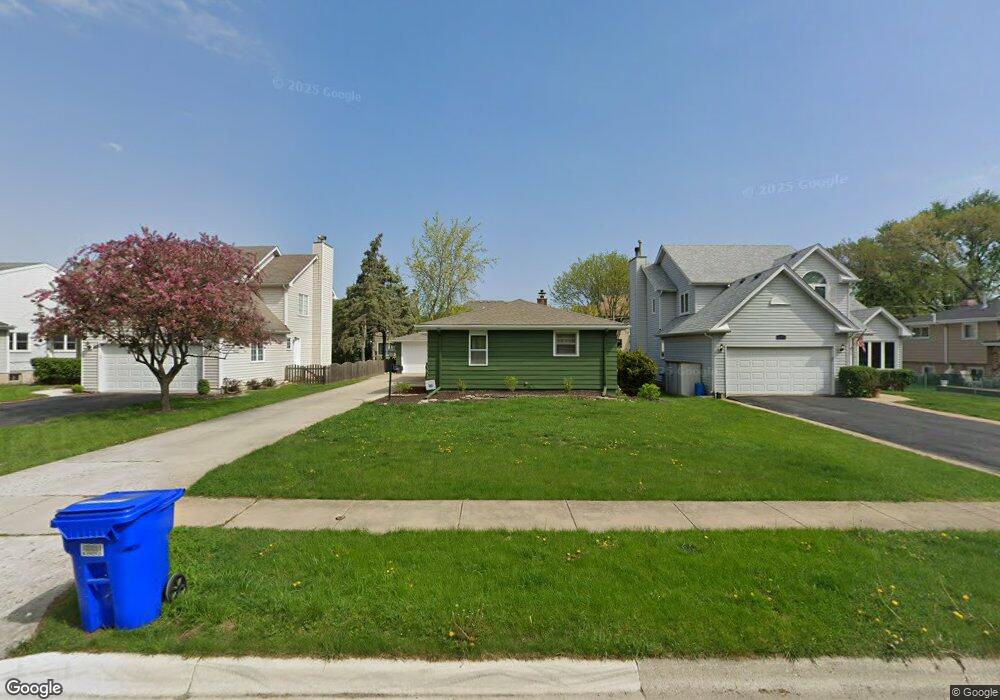
1115 Pershing Ave Wheaton, IL 60189
Southeast Wheaton NeighborhoodEstimated Value: $491,000 - $571,000
3
Beds
2
Baths
1,474
Sq Ft
$351/Sq Ft
Est. Value
About This Home
This home is located at 1115 Pershing Ave, Wheaton, IL 60189 and is currently estimated at $517,012, approximately $350 per square foot. 1115 Pershing Ave is a home located in DuPage County with nearby schools including Lincoln Elementary School, Edison Middle School, and Wheaton Warrenville South High School.
Ownership History
Date
Name
Owned For
Owner Type
Purchase Details
Closed on
Mar 12, 1999
Sold by
Mcmaster R Glen
Bought by
Bernhagen Scott A and Bernhagen Maria M
Current Estimated Value
Home Financials for this Owner
Home Financials are based on the most recent Mortgage that was taken out on this home.
Original Mortgage
$150,000
Outstanding Balance
$36,396
Interest Rate
6.78%
Mortgage Type
Purchase Money Mortgage
Estimated Equity
$480,616
Create a Home Valuation Report for This Property
The Home Valuation Report is an in-depth analysis detailing your home's value as well as a comparison with similar homes in the area
Home Values in the Area
Average Home Value in this Area
Purchase History
| Date | Buyer | Sale Price | Title Company |
|---|---|---|---|
| Bernhagen Scott A | $237,000 | -- |
Source: Public Records
Mortgage History
| Date | Status | Borrower | Loan Amount |
|---|---|---|---|
| Open | Bernhagen Scott A | $150,000 |
Source: Public Records
Tax History
| Year | Tax Paid | Tax Assessment Tax Assessment Total Assessment is a certain percentage of the fair market value that is determined by local assessors to be the total taxable value of land and additions on the property. | Land | Improvement |
|---|---|---|---|---|
| 2024 | $8,776 | $144,165 | $36,970 | $107,195 |
| 2023 | $8,427 | $132,700 | $34,030 | $98,670 |
| 2022 | $8,270 | $125,410 | $32,160 | $93,250 |
| 2021 | $8,241 | $122,440 | $31,400 | $91,040 |
| 2020 | $8,215 | $121,300 | $31,110 | $90,190 |
| 2019 | $8,025 | $118,100 | $30,290 | $87,810 |
| 2018 | $7,923 | $115,390 | $28,540 | $86,850 |
| 2017 | $7,803 | $111,140 | $27,490 | $83,650 |
| 2016 | $7,697 | $106,700 | $26,390 | $80,310 |
| 2015 | $7,635 | $101,800 | $25,180 | $76,620 |
| 2014 | $7,265 | $95,600 | $15,260 | $80,340 |
| 2013 | $7,079 | $95,890 | $15,310 | $80,580 |
Source: Public Records
Map
Nearby Homes
- 1500 Pershing Ave
- 510 S President St
- 1000 S Lorraine Rd Unit 214
- 1607 E Indiana St
- 213 S Summit St
- 1338 S Lorraine Rd Unit A
- 1818 E Indiana St
- 1690 Darwin Ct Unit D
- 119 S Williston St
- 123 S Blanchard St
- 1026 Briarcliffe Blvd
- 302 Roscommon Ct
- 715 S Naperville Rd
- 421 E Willow Ave
- 1581 Groton Ln
- 270 S Ott Ave
- 111 S Lorraine Rd
- 97 N Kenilworth Ave
- 1318 Gamon Rd
- 1551 Briarcliffe Blvd
- 1115 Pershing Ave
- 1119 Pershing Ave
- 1111 Pershing Ave
- 824 S Williston St
- 1107 Pershing Ave
- 1114 Taft Ave
- 1110 Taft Ave
- 1103 Pershing Ave
- 1122 Taft Ave
- 1108 Pershing Ave
- 1116 Pershing Ave
- 1112 Pershing Ave
- 1102 Taft Ave
- 902 S Williston St
- 1203 Pershing Ave
- 1106 Pershing Ave
- 1102 Pershing Ave
- 1018 Taft Ave
- 803 S Williston St
- 803 S Williston St
Your Personal Tour Guide
Ask me questions while you tour the home.