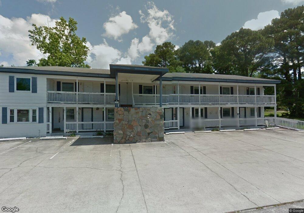
1115 River Rd Calabash, NC 28467
Estimated Value: $463,214
--
Bed
--
Bath
33,106
Sq Ft
$14/Sq Ft
Est. Value
About This Home
This home is located at 1115 River Rd, Calabash, NC 28467 and is currently estimated at $463,214, approximately $13 per square foot. 1115 River Rd is a home located in Brunswick County with nearby schools including Jessie Mae Monroe Elementary School, Shallotte Middle School, and West Brunswick High School.
Ownership History
Date
Name
Owned For
Owner Type
Purchase Details
Closed on
Nov 3, 2016
Sold by
Bomoore Llc
Bought by
D & M Rental Development Inc
Current Estimated Value
Home Financials for this Owner
Home Financials are based on the most recent Mortgage that was taken out on this home.
Original Mortgage
$180,000
Outstanding Balance
$144,509
Interest Rate
3.42%
Mortgage Type
Future Advance Clause Open End Mortgage
Estimated Equity
$318,705
Purchase Details
Closed on
Dec 1, 2004
Bought by
Bomoore Llc
Create a Home Valuation Report for This Property
The Home Valuation Report is an in-depth analysis detailing your home's value as well as a comparison with similar homes in the area
Home Values in the Area
Average Home Value in this Area
Purchase History
| Date | Buyer | Sale Price | Title Company |
|---|---|---|---|
| D & M Rental Development Inc | $225,000 | None Available | |
| Bomoore Llc | $333,000 | -- |
Source: Public Records
Mortgage History
| Date | Status | Borrower | Loan Amount |
|---|---|---|---|
| Open | D & M Rental Development Inc | $180,000 |
Source: Public Records
Tax History Compared to Growth
Tax History
| Year | Tax Paid | Tax Assessment Tax Assessment Total Assessment is a certain percentage of the fair market value that is determined by local assessors to be the total taxable value of land and additions on the property. | Land | Improvement |
|---|---|---|---|---|
| 2025 | $1,624 | $306,020 | $160,160 | $145,860 |
| 2024 | $1,624 | $306,020 | $160,160 | $145,860 |
| 2023 | $1,678 | $306,020 | $160,160 | $145,860 |
| 2022 | $1,678 | $223,230 | $138,320 | $84,910 |
| 2021 | $1,678 | $223,230 | $138,320 | $84,910 |
| 2020 | $1,591 | $223,230 | $138,320 | $84,910 |
| 2019 | $1,591 | $142,090 | $138,320 | $3,770 |
| 2018 | $2,446 | $232,180 | $228,100 | $4,080 |
| 2017 | $2,446 | $232,180 | $228,100 | $4,080 |
| 2016 | $2,396 | $232,180 | $228,100 | $4,080 |
| 2015 | $2,396 | $383,600 | $228,100 | $155,500 |
| 2014 | $2,425 | $419,840 | $242,000 | $177,840 |
Source: Public Records
Map
Nearby Homes
- 1180 Beach Dr SW
- 2030 Manor Parc Dr
- 2109 Manor Parc Dr
- 9303 Whisper Park Dr SW
- 1009 Harbor Dr
- HARRISBURG Plan at Hunters Trace
- ANNAPOLIS Plan at Hunters Trace
- HARTFORD Plan at Hunters Trace
- ALBANY Plan at Hunters Trace
- DOVER Plan at Hunters Trace
- 1515 Harbour Place Dr
- 1535 Harbour Place Dr
- 9274 Bonaparte Dr SW
- 9279 Devaun Pointe Cir SW
- 1529 Coastal Cove Ln
- 1984 Indigo Cove Way
- 1533 Coastal Cove Ln
- 1975 Indigo Cove Way
- 1566 Coastal Cove Ln
- 1545 Coastal Cove Ln