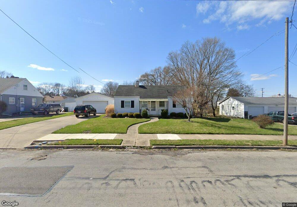
1115 S Belmont Ave Springfield, OH 45505
Estimated Value: $117,000 - $138,000
2
Beds
1
Bath
900
Sq Ft
$144/Sq Ft
Est. Value
About This Home
This home is located at 1115 S Belmont Ave, Springfield, OH 45505 and is currently estimated at $129,546, approximately $143 per square foot. 1115 S Belmont Ave is a home located in Clark County with nearby schools including Kenwood Elementary School, Hayward Middle School, and Springfield High School.
Ownership History
Date
Name
Owned For
Owner Type
Purchase Details
Closed on
Dec 15, 2020
Sold by
Rahrle Lori E and Rahrle Rodney L
Bought by
Rahrle Rodney L and Rahrle Lori E
Current Estimated Value
Purchase Details
Closed on
Feb 28, 2014
Sold by
Lockhart Susan C and Lockhart Maurice R
Bought by
Rahrle Rodney L
Purchase Details
Closed on
Aug 14, 1996
Sold by
Miller Lori L
Bought by
Roberts Kenneth G
Create a Home Valuation Report for This Property
The Home Valuation Report is an in-depth analysis detailing your home's value as well as a comparison with similar homes in the area
Home Values in the Area
Average Home Value in this Area
Purchase History
| Date | Buyer | Sale Price | Title Company |
|---|---|---|---|
| Rahrle Rodney L | -- | None Available | |
| Rahrle Rodney L | $20,000 | Ohio Real Estate Title | |
| Roberts Kenneth G | $49,250 | -- |
Source: Public Records
Tax History Compared to Growth
Tax History
| Year | Tax Paid | Tax Assessment Tax Assessment Total Assessment is a certain percentage of the fair market value that is determined by local assessors to be the total taxable value of land and additions on the property. | Land | Improvement |
|---|---|---|---|---|
| 2024 | $1,595 | $32,300 | $6,820 | $25,480 |
| 2023 | $1,595 | $32,300 | $6,820 | $25,480 |
| 2022 | $1,634 | $32,300 | $6,820 | $25,480 |
| 2021 | $1,228 | $22,960 | $4,160 | $18,800 |
| 2020 | $1,230 | $22,960 | $4,160 | $18,800 |
| 2019 | $1,233 | $22,960 | $4,160 | $18,800 |
| 2018 | $875 | $15,650 | $3,900 | $11,750 |
| 2017 | $875 | $22,852 | $3,903 | $18,949 |
| 2016 | $876 | $22,852 | $3,903 | $18,949 |
| 2015 | $1,202 | $20,826 | $3,903 | $16,923 |
| 2014 | $1,197 | $20,826 | $3,903 | $16,923 |
| 2013 | $1,184 | $20,826 | $3,903 | $16,923 |
Source: Public Records
Map
Nearby Homes
- 1014 Beacon St
- 1714 Kenton St
- 1225 Beacon St
- 2222 Kenton St
- 1554 S Belmont Ave
- 1562 Rutland Ave
- 1601 Kenton St
- 535 S Belmont Ave
- 603 Linwood Ave Unit 605
- 1716 N Sweetbriar Ln
- 1318 Maryland Ave
- 1815 Beacon St
- 1609 Irwin Ave
- 2605 Morton Dr
- 2345 Irwin Ave
- 1701 Lexington Ave
- 1440 Selma Rd
- 2218 Tanager Rd
- 2434 Irwin Ave
- 1111 Lafayette Ave
- 1125 S Belmont Ave
- 1129 S Belmont Ave
- 1991 Kenton St
- 1979 Kenton St
- 1983 Kenton St
- 1928 Maryland Ave
- 1135 S Belmont Ave
- 1922 Maryland Ave
- 1971 Kenton St
- 2003 Kenton St
- 1961 Kenton St Unit 1963
- 1918 Maryland Ave
- 1116 S Belmont Ave
- 1120 S Belmont Ave
- 1126 S Belmont Ave
- 1959 Kenton St
- 1912 Maryland Ave
- 1134 S Belmont Ave
- 2015 Kenton St
- 1203 S Belmont Ave Unit 1205