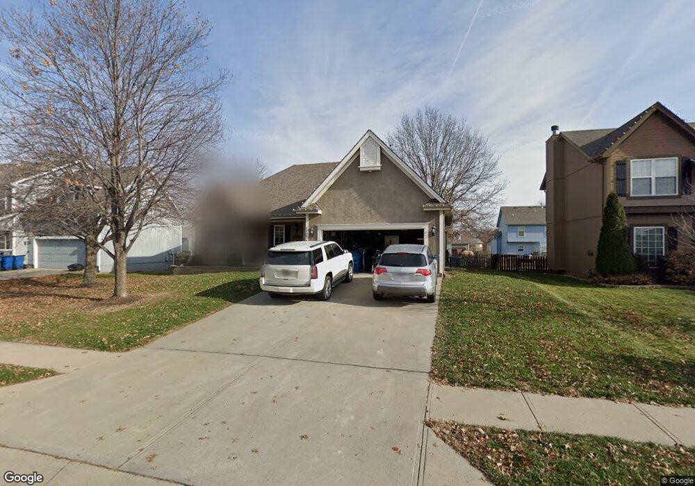
1115 Silhouette Dr Kearney, MO 64060
Estimated Value: $363,207 - $416,000
3
Beds
3
Baths
1,655
Sq Ft
$241/Sq Ft
Est. Value
About This Home
This home is located at 1115 Silhouette Dr, Kearney, MO 64060 and is currently estimated at $398,302, approximately $240 per square foot. 1115 Silhouette Dr is a home located in Clay County with nearby schools including Kearney Junior High School, Kearney High School, and Northern Hills Christian Academy.
Ownership History
Date
Name
Owned For
Owner Type
Purchase Details
Closed on
Jun 30, 2004
Sold by
Olson Christina K and Olson Daniel S
Bought by
Burns Paul Alan and Burns Michelle Scott
Current Estimated Value
Home Financials for this Owner
Home Financials are based on the most recent Mortgage that was taken out on this home.
Original Mortgage
$204,250
Outstanding Balance
$102,574
Interest Rate
6.3%
Mortgage Type
Purchase Money Mortgage
Estimated Equity
$295,728
Purchase Details
Closed on
Jan 26, 2001
Sold by
Couchman Construction Inc
Bought by
Beaty Charles S and Beaty Christine K
Create a Home Valuation Report for This Property
The Home Valuation Report is an in-depth analysis detailing your home's value as well as a comparison with similar homes in the area
Home Values in the Area
Average Home Value in this Area
Purchase History
| Date | Buyer | Sale Price | Title Company |
|---|---|---|---|
| Burns Paul Alan | -- | Thomson Title Corporation | |
| Beaty Charles S | -- | Thomson Title Corp |
Source: Public Records
Mortgage History
| Date | Status | Borrower | Loan Amount |
|---|---|---|---|
| Open | Burns Paul Alan | $204,250 |
Source: Public Records
Tax History
| Year | Tax Paid | Tax Assessment Tax Assessment Total Assessment is a certain percentage of the fair market value that is determined by local assessors to be the total taxable value of land and additions on the property. | Land | Improvement |
|---|---|---|---|---|
| 2025 | $3,651 | $61,140 | -- | -- |
| 2024 | $3,651 | $53,280 | -- | -- |
| 2023 | $3,639 | $53,280 | $0 | $0 |
| 2022 | $3,330 | $47,140 | $0 | $0 |
| 2021 | $3,264 | $47,139 | $5,130 | $42,009 |
| 2020 | $3,291 | $43,240 | $0 | $0 |
| 2019 | $3,274 | $43,244 | $5,130 | $38,114 |
Source: Public Records
Map
Nearby Homes
- 303 W 11th St
- 1703 Park Ln
- 1304 S Jefferson St
- 1702 Bay Ct
- 1811 Paddock Dr
- 1845 Falcon Ct
- 402 E 14th St
- 2001 Foxtail Point
- 1933 Meadowlane
- 1300 Robin Cir
- 2101 S Petty Rd
- 2101 Crooked Creek Dr
- 1204 Noah's Ln
- 1202 Noah's Ln
- 2318 Foxtail Dr
- 2314 Foxtail Dr
- 2317 Foxtail Dr
- 2354 Foxtail Dr
- 2326 Foxtail Dr
- 2325 Foxtail Dr
- 1113 Silhouette Dr
- 1201 Silhouette Dr
- 1116 Brookwood Dr
- 1114 Brookwood Dr
- 1200 Brookwood Dr
- 1111 Silhouette Dr
- 1203 Silhouette Dr
- 1116 Silhouette Dr
- 1202 Silhouette Dr
- 1200 Silhouette Dr
- 1114 Silhouette Dr
- 1112 Brookwood Dr
- 1202 Brookwood Dr
- 1109 Silhouette Dr
- 1112 Silhouette Dr
- 1205 Silhouette Dr
- 1110 Brookwood Dr
- 1204 Brookwood Dr
- 1110 Silhouette Dr
- 1107 Silhouette Dr
Your Personal Tour Guide
Ask me questions while you tour the home.