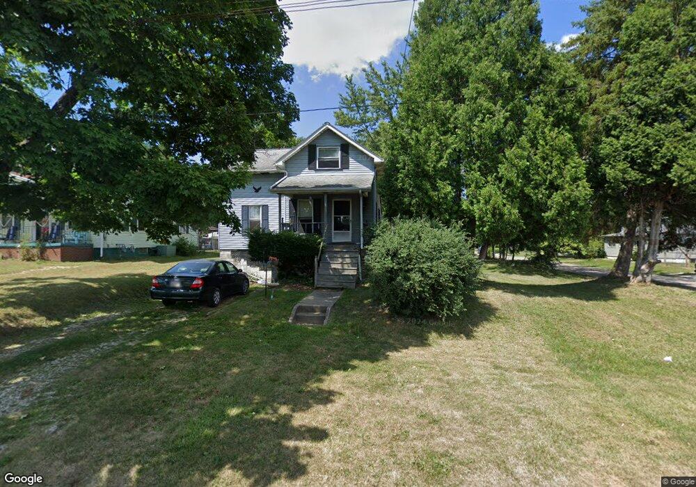
1115 W Ely St Alliance, OH 44601
Estimated Value: $86,000 - $172,000
2
Beds
1
Bath
1,229
Sq Ft
$93/Sq Ft
Est. Value
About This Home
This home is located at 1115 W Ely St, Alliance, OH 44601 and is currently estimated at $113,839, approximately $92 per square foot. 1115 W Ely St is a home located in Stark County with nearby schools including Alliance Early Learning School, Alliance Intermediate School at Northside, and Alliance Middle School.
Ownership History
Date
Name
Owned For
Owner Type
Purchase Details
Closed on
Dec 22, 2006
Sold by
Estate Of Bonnie L Fowler
Bought by
Fowler Chester J
Current Estimated Value
Purchase Details
Closed on
Apr 5, 2004
Sold by
Paulus Beth Ann and Paulus Darryl E
Bought by
Fowler Chester J and Fowler Bonnie L
Purchase Details
Closed on
Mar 8, 2004
Sold by
Fowler Chester J and Fowler Bonnie L
Bought by
Paulus Beth Ann
Create a Home Valuation Report for This Property
The Home Valuation Report is an in-depth analysis detailing your home's value as well as a comparison with similar homes in the area
Home Values in the Area
Average Home Value in this Area
Purchase History
| Date | Buyer | Sale Price | Title Company |
|---|---|---|---|
| Fowler Chester J | -- | None Available | |
| Fowler Chester J | -- | -- | |
| Paulus Beth Ann | -- | -- |
Source: Public Records
Tax History
| Year | Tax Paid | Tax Assessment Tax Assessment Total Assessment is a certain percentage of the fair market value that is determined by local assessors to be the total taxable value of land and additions on the property. | Land | Improvement |
|---|---|---|---|---|
| 2025 | $309 | $21,840 | $6,790 | $15,050 |
| 2024 | $1,407 | $21,840 | $6,790 | $15,050 |
| 2023 | $1,371 | $14,320 | $4,170 | $10,150 |
| 2022 | $579 | $14,320 | $4,170 | $10,150 |
| 2021 | $580 | $14,320 | $4,170 | $10,150 |
| 2020 | $525 | $12,120 | $3,400 | $8,720 |
| 2019 | $518 | $12,120 | $3,400 | $8,720 |
Source: Public Records
Map
Nearby Homes
- 347 Buckeye Ave
- 432 Johnson Ave
- 550 Johnson Ave
- 160 Bonnieview Ave
- 000 Meadowbrook Ave
- 0 Meadowbrook Ave
- 118 S Mckinley Ave
- 479 W High St
- 664 Fairview Place
- 11335 Meadowbrook Ave NE
- 264 W Market St
- 717 Garfield Ave
- 0 Homestead Ave NE
- 171 1/2 W Main St
- 0 W Main St Unit 5090123
- 535 S Mckinley Ave
- 163 W Market St
- 228 W Oxford St
- 870 Parkway Blvd
- 505 N Union Ave
- 1105 W Ely St
- 1123 W Ely St
- 1093 W Ely St
- 323 Buckeye Ave
- 344 Buckeye Ave
- 1100 W Ely St
- 1079 W Ely St
- 330 Buckeye Ave
- 1063 W Ely St
- 354 Buckeye Ave
- 339 Buckeye Ave
- 1165 W Ely St
- 1041 W Ely St
- 372 Buckeye Ave
- 372 Buckeye Ave
- 355 Buckeye Ave
- 1165 Harrisburg Rd
- 363 Buckeye Ave
- 310 Johnson Ave
- 380 Buckeye Ave
Your Personal Tour Guide
Ask me questions while you tour the home.