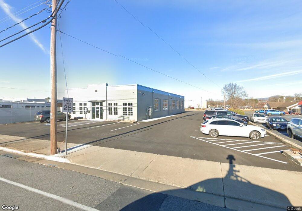
1115 W Main St Waynesboro, VA 22980
Estimated Value: $433,166
--
Bed
--
Bath
6,600
Sq Ft
$66/Sq Ft
Est. Value
About This Home
This home is located at 1115 W Main St, Waynesboro, VA 22980 and is currently priced at $433,166, approximately $65 per square foot. 1115 W Main St is a home located in Waynesboro City with nearby schools including Berkeley Glenn Elementary School, Kate Collins Middle School, and Waynesboro High School.
Ownership History
Date
Name
Owned For
Owner Type
Purchase Details
Closed on
Apr 1, 2022
Sold by
Bradley Enterprises Inc
Bought by
Estep Preston M and Sibert Richard A
Current Estimated Value
Home Financials for this Owner
Home Financials are based on the most recent Mortgage that was taken out on this home.
Original Mortgage
$319,200
Interest Rate
3.83%
Mortgage Type
New Conventional
Purchase Details
Closed on
May 3, 2021
Sold by
Neighborhood Investments Llc
Bought by
Bradley Enterprises Inc
Purchase Details
Closed on
Dec 29, 2017
Sold by
Skillman Larry A
Bought by
Neighborhood Investments Llc A Virginia
Create a Home Valuation Report for This Property
The Home Valuation Report is an in-depth analysis detailing your home's value as well as a comparison with similar homes in the area
Home Values in the Area
Average Home Value in this Area
Purchase History
| Date | Buyer | Sale Price | Title Company |
|---|---|---|---|
| Estep Preston M | $399,000 | Denney Ronald W | |
| Bradley Enterprises Inc | $300,000 | Attorney | |
| Neighborhood Investments Llc A Virginia | $190,000 | None Available |
Source: Public Records
Mortgage History
| Date | Status | Borrower | Loan Amount |
|---|---|---|---|
| Previous Owner | Estep Preston M | $319,200 |
Source: Public Records
Tax History Compared to Growth
Tax History
| Year | Tax Paid | Tax Assessment Tax Assessment Total Assessment is a certain percentage of the fair market value that is determined by local assessors to be the total taxable value of land and additions on the property. | Land | Improvement |
|---|---|---|---|---|
| 2021 | $1,937 | $215,200 | $189,900 | $25,300 |
| 2020 | $1,946 | $216,200 | $186,600 | $29,600 |
| 2019 | $1,946 | $216,200 | $186,600 | $29,600 |
| 2018 | $2,631 | $292,300 | $186,600 | $105,700 |
| 2017 | $2,543 | $292,300 | $186,600 | $105,700 |
| 2016 | $2,338 | $292,300 | $186,600 | $105,700 |
| 2015 | $2,338 | $292,300 | $186,600 | $105,700 |
| 2014 | -- | $291,600 | $186,600 | $105,000 |
| 2013 | -- | $0 | $0 | $0 |
Source: Public Records
Map
Nearby Homes
- 1013 Ohio St
- 1215 W 12th St
- 106 Henry Ave
- 373 S Magnolia Ave
- 1305 13th St
- 548 Pine Ave
- 124 Loudoun Ave
- 222 James Ave
- 477 Chestnut Ave
- 222 King Ave
- 529 S Linden Ave
- 1637 Mulberry St
- 645 Maple Ave
- 233 Camden Dr
- 241 Camden Dr
- 237 Camden Dr
- 252 Port Republic Rd
- LOT 2 Port Republic Rd
- 705 Oak Ave
- 407 Crompton Rd
- 1107 W Main St
- 1150 W Broad St
- 1025 W Main St
- 130 E Broad St
- 1106 W Broad St
- 1100 W Main St
- 1157 W Main St
- 1200 W Broad St
- 1044 W Main St
- 1030 W Main St
- 1100 W Broad St
- 1220 W Broad St
- 1018 W Main St
- 1022 W Main St
- 1221 W Main St
- 1009 W Main St
- 1224 W Broad St
- 1200 W Main St
- 1012 W Main St
- 1211 W Broad St