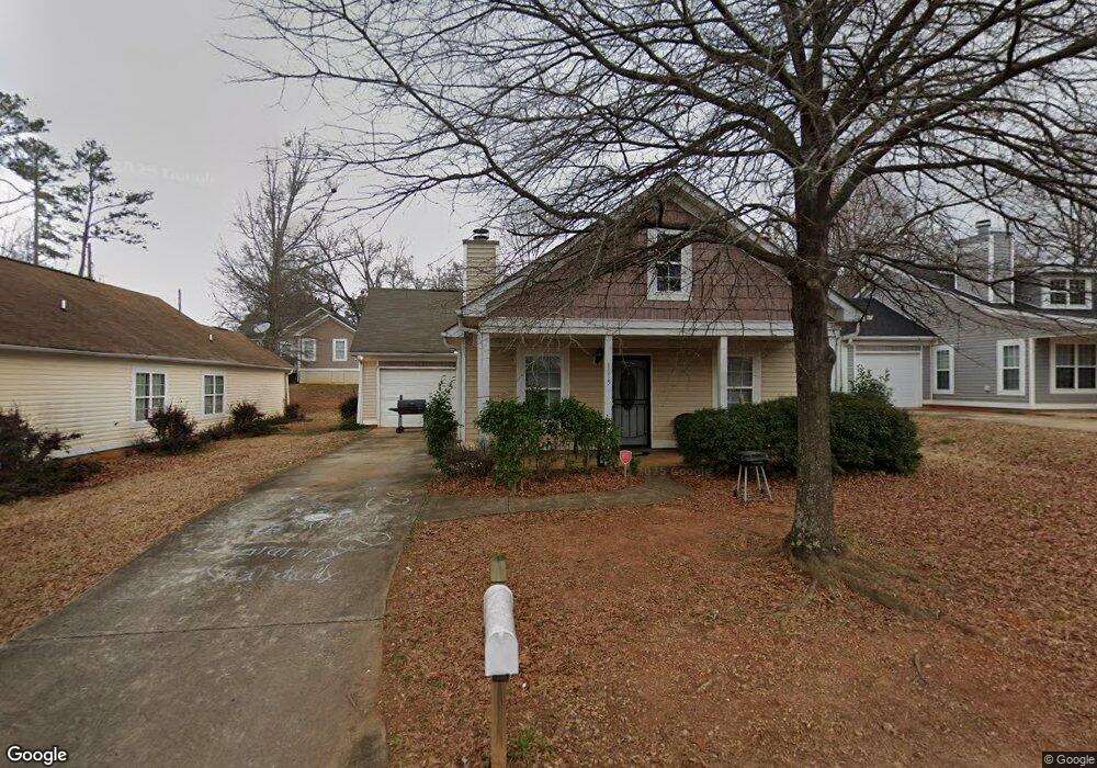
1115 W Slaton Ave Griffin, GA 30223
Spalding County NeighborhoodEstimated Value: $110,000 - $179,254
3
Beds
2
Baths
1,350
Sq Ft
$106/Sq Ft
Est. Value
About This Home
This home is located at 1115 W Slaton Ave, Griffin, GA 30223 and is currently estimated at $142,564, approximately $105 per square foot. 1115 W Slaton Ave is a home located in Spalding County with nearby schools including Anne Street Elementary School, Rehoboth Road Middle School, and Griffin High School.
Ownership History
Date
Name
Owned For
Owner Type
Purchase Details
Closed on
Dec 30, 2008
Sold by
Federal Natl Mtg Assn Fnma
Bought by
Baird Jonathan W and Voigt Joan
Current Estimated Value
Purchase Details
Closed on
Sep 2, 2008
Sold by
Greenpoint Mtg Funding Inc
Bought by
Federal Natl Mtg Assn Fnma
Purchase Details
Closed on
Sep 2, 2007
Sold by
Anderson Nancy J
Bought by
Greenpoint Mtg Funding Inc
Create a Home Valuation Report for This Property
The Home Valuation Report is an in-depth analysis detailing your home's value as well as a comparison with similar homes in the area
Home Values in the Area
Average Home Value in this Area
Purchase History
| Date | Buyer | Sale Price | Title Company |
|---|---|---|---|
| Baird Jonathan W | -- | -- | |
| Federal Natl Mtg Assn Fnma | -- | -- | |
| Greenpoint Mtg Funding Inc | $105,000 | -- |
Source: Public Records
Tax History Compared to Growth
Tax History
| Year | Tax Paid | Tax Assessment Tax Assessment Total Assessment is a certain percentage of the fair market value that is determined by local assessors to be the total taxable value of land and additions on the property. | Land | Improvement |
|---|---|---|---|---|
| 2024 | $2,140 | $56,043 | $3,200 | $52,843 |
| 2023 | $2,140 | $45,474 | $3,200 | $42,274 |
| 2022 | $1,472 | $36,835 | $2,000 | $34,835 |
| 2021 | $1,020 | $25,513 | $2,400 | $23,113 |
| 2020 | $1,020 | $25,513 | $2,400 | $23,113 |
| 2019 | $976 | $23,972 | $2,400 | $21,572 |
| 2018 | $1,042 | $24,668 | $2,400 | $22,268 |
| 2017 | $1,020 | $24,668 | $2,400 | $22,268 |
| 2016 | $1,221 | $34,212 | $2,400 | $31,812 |
| 2015 | $1,241 | $34,212 | $2,400 | $31,812 |
| 2014 | $1,279 | $34,212 | $2,400 | $31,812 |
Source: Public Records
Map
Nearby Homes
- 1126 Wright St
- 1106 Wright St
- 1025 W Broad St
- 1017 W Broad St
- 1206 Hillwood Ave
- 1223 W Broad St
- 930 W Broad St
- 306 Louise Ln Unit A
- 1102 Thompson St
- 124 Ohoopee Dr
- 354 N 17th St
- 203 Hillside Cir
- 221 N 14th St
- 822 W Solomon St
- 915 W Poplar St
- 417 N 16th St
- 318 N 15th St
- 737 W Solomon St
- 108 N 14th St
- 305 S 18th St
- 1113 W Slaton Ave
- 1117 W Slaton Ave
- 1116 W Broad St
- 1111 W Slaton Ave
- 1114 W Broad St
- 1118 W Broad St
- 1112 W Broad St Unit 4
- 1112 W Broad St
- 1109 W Slaton Ave
- 1110 W Broad St
- 1119 W Solomon St
- 1135 W Solomon St
- 1143 W Solomon St
- 1107 W Slaton Ave
- 1115 W Solomon St
- 1121 W Solomon St
- 1108 W Broad St
- 1119 W Broad St
- 1105 W Slaton Ave
- 1117 W Broad St