11153 Borgman Ave Unit Bldg-Unit Belleville, MI 48111
Estimated Value: $230,000 - $249,165
4
Beds
3
Baths
1,375
Sq Ft
$175/Sq Ft
Est. Value
About This Home
This home is located at 11153 Borgman Ave Unit Bldg-Unit, Belleville, MI 48111 and is currently estimated at $240,791, approximately $175 per square foot. 11153 Borgman Ave Unit Bldg-Unit is a home located in Wayne County with nearby schools including Owen Intermediate School, Rawsonville Elementary School, and McBride Middle School.
Ownership History
Date
Name
Owned For
Owner Type
Purchase Details
Closed on
Mar 23, 2018
Sold by
Jarvis George H and Bowers Athella Anne
Bought by
Dorow Justin
Current Estimated Value
Purchase Details
Closed on
May 18, 2002
Sold by
Jarvis George H
Bought by
Bowers Athella Anne
Purchase Details
Closed on
Aug 7, 2001
Sold by
Jarvis Amy L
Bought by
Jarvis George H
Purchase Details
Closed on
Oct 23, 1998
Sold by
Jarvis Barbara A
Bought by
Jarvis Amy L
Create a Home Valuation Report for This Property
The Home Valuation Report is an in-depth analysis detailing your home's value as well as a comparison with similar homes in the area
Home Values in the Area
Average Home Value in this Area
Purchase History
| Date | Buyer | Sale Price | Title Company |
|---|---|---|---|
| Dorow Justin | $140,000 | First American Title Ins Co | |
| Bowers Athella Anne | -- | -- | |
| Jarvis George H | -- | -- | |
| Jarvis Amy L | $142,000 | -- |
Source: Public Records
Mortgage History
| Date | Status | Borrower | Loan Amount |
|---|---|---|---|
| Closed | Bowers Athella Anne | -- |
Source: Public Records
Tax History Compared to Growth
Tax History
| Year | Tax Paid | Tax Assessment Tax Assessment Total Assessment is a certain percentage of the fair market value that is determined by local assessors to be the total taxable value of land and additions on the property. | Land | Improvement |
|---|---|---|---|---|
| 2025 | $1,690 | $112,900 | $0 | $0 |
| 2024 | $1,690 | $103,000 | $0 | $0 |
| 2023 | $1,613 | $100,300 | $0 | $0 |
| 2022 | $2,596 | $93,900 | $0 | $0 |
| 2021 | $2,550 | $82,000 | $0 | $0 |
| 2020 | $2,520 | $77,300 | $0 | $0 |
| 2019 | $2,477 | $68,300 | $0 | $0 |
| 2018 | $874 | $63,900 | $0 | $0 |
| 2017 | $1,616 | $59,400 | $0 | $0 |
| 2016 | $1,467 | $64,900 | $0 | $0 |
| 2015 | $4,397 | $59,800 | $0 | $0 |
| 2013 | $4,260 | $43,800 | $0 | $0 |
| 2010 | -- | $57,700 | $0 | $0 |
Source: Public Records
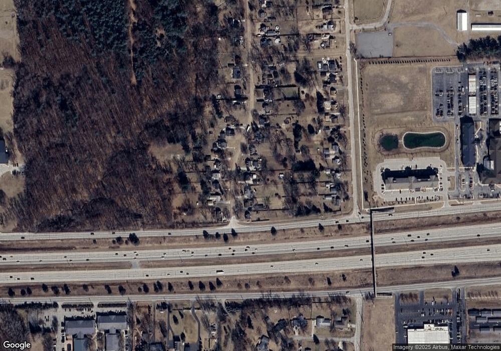
Map
Nearby Homes
- 46695 Ayres Ave
- 45109 Interstate 94 S Service Dr
- 47049 Denton Rd
- 10600 Dewitt Rd
- 45762 Prairiegrass Ct Unit 7
- 6579 Chandler Dr
- 46158 Reedgrass Ln Unit 4
- 45905 Wildrye Ct Unit 2
- 44043 Tyler Rd
- 348 N Liberty St
- 250 N Liberty St Unit 303
- 241 Main St Unit 2
- 14152 Laurelwood Dr
- 14211 Laurelwood Dr
- 14188 Laurelwood Dr
- 279 Church St
- 99 Potter Dr
- 421 E Huron River Dr
- VAC E Huron River Dr
- 6555 Bristol Dr
- 11153 Borgman Ave
- 11139 Borgman Ave
- 11117 Borgman Ave
- 11167 Borgman Ave
- 11181 Borgman Ave
- 11195 Borgman Ave
- 11105 Borgman Ave
- 11150 Borgman Ave
- 11162 Borgman Ave
- 11114 Borgman Ave
- 11100 Borgman Ave
- 11164 Quirk Rd
- 11089 Borgman Ave
- 11138 Borgman Ave
- 11180 Quirk Rd
- 11116 Quirk Rd
- 11084 Borgman Ave
- 11069 Borgman Ave
- 11176 Borgman Ave
- 11100 Quirk Rd