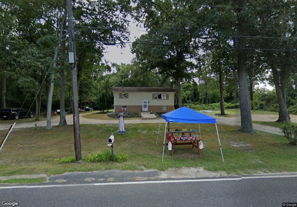
1116 Dragston Rd Port Norris, NJ 08349
Estimated Value: $175,000 - $334,000
--
Bed
--
Bath
1,185
Sq Ft
$210/Sq Ft
Est. Value
About This Home
This home is located at 1116 Dragston Rd, Port Norris, NJ 08349 and is currently estimated at $248,359, approximately $209 per square foot. 1116 Dragston Rd is a home located in Cumberland County with nearby schools including Downe Township Elementary School.
Ownership History
Date
Name
Owned For
Owner Type
Purchase Details
Closed on
Jan 19, 2023
Sold by
Farmers Home Administration
Bought by
Clapper Steven P and Clapper Mary Lou
Current Estimated Value
Purchase Details
Closed on
Jun 20, 2019
Sold by
Usa
Bought by
Usa
Purchase Details
Closed on
Jan 17, 2007
Sold by
Brown Charlotte
Bought by
Zinno Elizabeth
Purchase Details
Closed on
Oct 5, 2005
Sold by
Hardin Lydia
Bought by
Brown Charlotte
Home Financials for this Owner
Home Financials are based on the most recent Mortgage that was taken out on this home.
Original Mortgage
$107,000
Interest Rate
5.85%
Create a Home Valuation Report for This Property
The Home Valuation Report is an in-depth analysis detailing your home's value as well as a comparison with similar homes in the area
Home Values in the Area
Average Home Value in this Area
Purchase History
| Date | Buyer | Sale Price | Title Company |
|---|---|---|---|
| Clapper Steven P | $50,000 | Dominion Title Services | |
| Usa | -- | -- | |
| Zinno Elizabeth | $123,900 | -- | |
| Brown Charlotte | $107,000 | -- |
Source: Public Records
Mortgage History
| Date | Status | Borrower | Loan Amount |
|---|---|---|---|
| Previous Owner | Brown Charlotte | $107,000 |
Source: Public Records
Tax History Compared to Growth
Tax History
| Year | Tax Paid | Tax Assessment Tax Assessment Total Assessment is a certain percentage of the fair market value that is determined by local assessors to be the total taxable value of land and additions on the property. | Land | Improvement |
|---|---|---|---|---|
| 2025 | $4,233 | $116,000 | $36,000 | $80,000 |
| 2024 | $4,233 | $146,100 | $36,000 | $110,100 |
| 2023 | $3,902 | $146,100 | $36,000 | $110,100 |
| 2022 | $3,793 | $146,100 | $36,000 | $110,100 |
| 2021 | $3,585 | $146,100 | $36,000 | $110,100 |
| 2020 | $3,536 | $146,100 | $36,000 | $110,100 |
| 2019 | $3,483 | $146,100 | $36,000 | $110,100 |
| 2018 | $3,541 | $146,100 | $36,000 | $110,100 |
| 2017 | $3,406 | $146,100 | $36,000 | $110,100 |
| 2016 | $3,409 | $146,100 | $36,000 | $110,100 |
| 2015 | $3,213 | $146,100 | $36,000 | $110,100 |
| 2014 | $2,983 | $146,100 | $36,000 | $110,100 |
Source: Public Records
Map
Nearby Homes
- 1073 Dragston Rd
- 1062 Hanseys Creek Rd
- 1029 Dragston Rd
- 938 Union St
- 914 Main St
- 912 Main St
- 898 Main St
- 467 Hickman Ave Unit 469
- 1802 Strawberry Ave
- 0 James Moore Rd Unit 603001
- 0 James Moore Rd Unit NJCB2027772
- 2529 Milbourne Dr
- 6216 Brown St
- 2311 Church St
- 6502 Yock Wock Rd
- 2600 Church St
- 6303 Walnut St
- 1679 Main St
- 7020 Parsons Ln
- 2505 High St
- 1112 Dragston Rd
- 1117 Dragston Rd
- 45 Crooked Creek Ln
- 1088 Dragston Rd
- 1085 Dragston Rd
- 1083 Dragston Rd
- 511 Russell Ln
- 1082 Dragston Rd
- 1145 Dragston Rd
- 1077 Dragston Rd
- 44 Crooked Creek Ln
- 44 Crooked Creek Ln
- 527 Russell Ln
- 1087 Dragston Rd
- 1076 Dragston Rd
- 1065 Dragston Rd
- 1106 Main St
- 1105 Main St
- 1064 Dragston Rd
- 1069 Main St