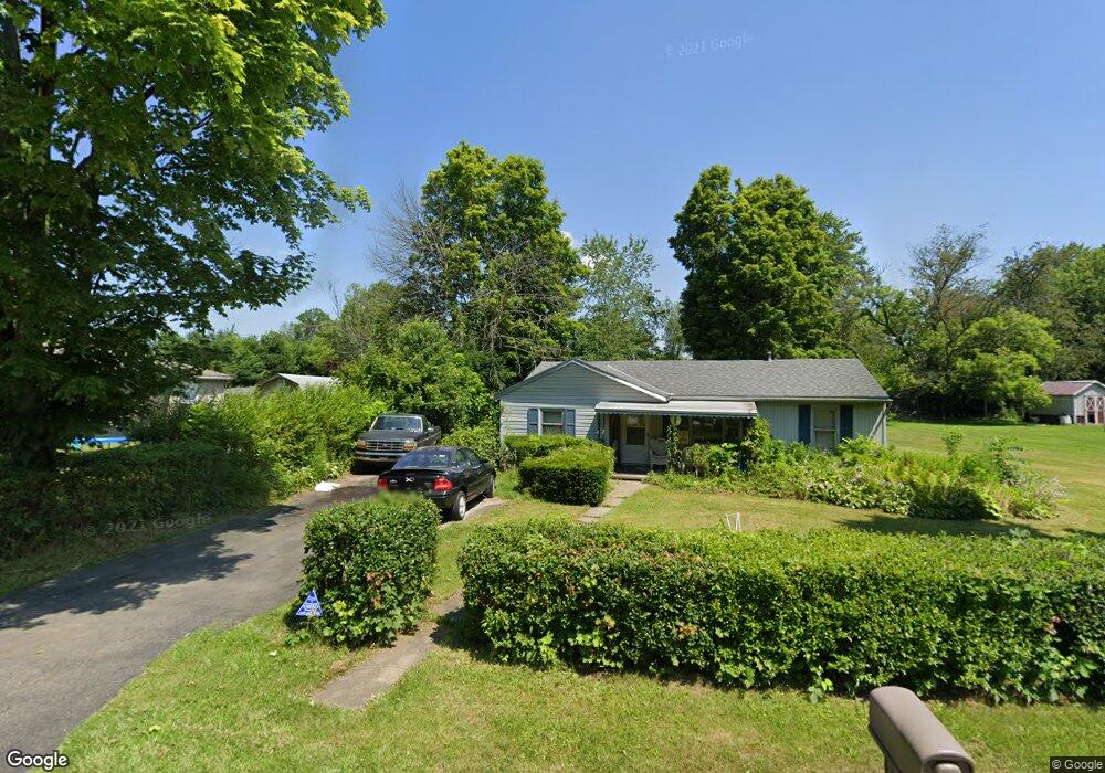
1116 Fir Dr Mansfield, OH 44906
Estimated Value: $128,711 - $168,000
3
Beds
2
Baths
1,162
Sq Ft
$123/Sq Ft
Est. Value
About This Home
This home is located at 1116 Fir Dr, Mansfield, OH 44906 and is currently estimated at $142,928, approximately $123 per square foot. 1116 Fir Dr is a home with nearby schools including Foundation Academy, Mansfield Elective Academy, and Goal Digital Academy.
Ownership History
Date
Name
Owned For
Owner Type
Purchase Details
Closed on
Dec 16, 2022
Sold by
Williams Belinda A and Williams Kevin D
Bought by
Ramirez Dusty M
Current Estimated Value
Home Financials for this Owner
Home Financials are based on the most recent Mortgage that was taken out on this home.
Original Mortgage
$71,250
Outstanding Balance
$69,112
Interest Rate
6.95%
Mortgage Type
New Conventional
Estimated Equity
$73,816
Purchase Details
Closed on
Jun 1, 1986
Create a Home Valuation Report for This Property
The Home Valuation Report is an in-depth analysis detailing your home's value as well as a comparison with similar homes in the area
Home Values in the Area
Average Home Value in this Area
Purchase History
| Date | Buyer | Sale Price | Title Company |
|---|---|---|---|
| Ramirez Dusty M | -- | -- | |
| Ramirez Dusty M | -- | None Listed On Document | |
| -- | $18,000 | -- |
Source: Public Records
Mortgage History
| Date | Status | Borrower | Loan Amount |
|---|---|---|---|
| Open | Ramirez Dusty M | $71,250 | |
| Closed | Ramirez Dusty M | $71,250 |
Source: Public Records
Tax History
| Year | Tax Paid | Tax Assessment Tax Assessment Total Assessment is a certain percentage of the fair market value that is determined by local assessors to be the total taxable value of land and additions on the property. | Land | Improvement |
|---|---|---|---|---|
| 2024 | $1,221 | $22,720 | $2,770 | $19,950 |
| 2023 | $1,248 | $22,720 | $2,770 | $19,950 |
| 2022 | $457 | $15,590 | $2,630 | $12,960 |
| 2021 | $459 | $15,590 | $2,630 | $12,960 |
| 2020 | $468 | $15,590 | $2,630 | $12,960 |
| 2019 | $343 | $13,220 | $2,230 | $10,990 |
| 2018 | $323 | $13,220 | $2,230 | $10,990 |
| 2017 | $315 | $13,220 | $2,230 | $10,990 |
| 2016 | $355 | $13,600 | $2,280 | $11,320 |
| 2015 | $355 | $13,600 | $2,280 | $11,320 |
| 2014 | $328 | $13,600 | $2,280 | $11,320 |
| 2012 | $339 | $14,310 | $2,400 | $11,910 |
Source: Public Records
Map
Nearby Homes
- 1092 N Trimble Rd
- 1101 Lenox Ave
- 933 Fairfax Ave
- 880 Fairfax Ave
- 878 Fairfax Ave
- 1074 NW Wade Dr
- 1113 Wyandotte Ave
- 761 Fairfax Ave
- 891 Springmill Rd
- 728 N Trimble Rd
- 640 Hanna Rd
- 630 Hanna Rd
- 1590 Walker Woods Blvd
- 1592 Walker Woods Blvd
- 641 Averill Ave
- Lot 2 Spring Village Ln
- 1367 Deer Ridge Ln
- 1365 Deer Ridge Ln
- 1501 Bowman St
- 799 Mcpherson St
- 1034 Woodside Dr
- 1028 Woodside Dr
- 1040 Woodside Dr
- 1115 Fir Dr
- 1046 Woodside Dr
- 1031 Truxell Dr
- 1012 Woodside Dr
- 1031 Woodside Dr
- 1004 Woodside Dr
- 1011 Truxell Dr
- 1035 Woodside Dr
- 1039 Woodside Dr
- 1039 Woodside Dr
- 1021 Woodside Dr
- 1015 Woodside Dr
- 1053 Truxell Dr
- 1084 Fir Dr
- 1015 Woodside Dr
- 1013 Woodside Dr
- 1080 Fir Dr
Your Personal Tour Guide
Ask me questions while you tour the home.