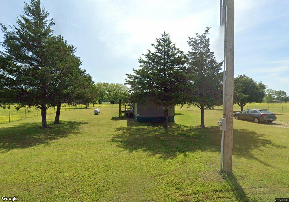
1116 Pearson Rd Colbert, OK 74733
Estimated Value: $101,000 - $167,000
3
Beds
2
Baths
924
Sq Ft
$143/Sq Ft
Est. Value
About This Home
This home is located at 1116 Pearson Rd, Colbert, OK 74733 and is currently estimated at $132,129, approximately $142 per square foot. 1116 Pearson Rd is a home located in Bryan County with nearby schools including Ward Elementary School West and Colbert High School.
Ownership History
Date
Name
Owned For
Owner Type
Purchase Details
Closed on
Dec 21, 2017
Sold by
Green Merle
Bought by
Thompson Ricky
Current Estimated Value
Purchase Details
Closed on
Sep 8, 2017
Sold by
Brees Merle
Bought by
Shenprese Richys
Purchase Details
Closed on
Feb 9, 2007
Sold by
Enqlutt Irenee
Bought by
Thompson Ricky
Purchase Details
Closed on
Jun 30, 2006
Sold by
Anderson Tommy L and Anderson Sandra L
Bought by
Thompson Ricky
Purchase Details
Closed on
Dec 23, 2003
Sold by
Ardrey Nancy and Ardrey Dick
Bought by
Anderson Tommy L
Purchase Details
Closed on
Feb 7, 2000
Sold by
Englutt Irene
Bought by
Ardrey Nancy and Ardrey Dick
Create a Home Valuation Report for This Property
The Home Valuation Report is an in-depth analysis detailing your home's value as well as a comparison with similar homes in the area
Purchase History
| Date | Buyer | Sale Price | Title Company |
|---|---|---|---|
| Thompson Ricky | -- | None Available | |
| Shenprese Richys | -- | None Available | |
| Thompson Ricky | -- | None Available | |
| Thompson Ricky | $24,500 | None Available | |
| Thompson Ricky | $55,000 | None Available | |
| Anderson Tommy L | $56,000 | -- | |
| Ardrey Nancy | $18,000 | -- |
Source: Public Records
Tax History
| Year | Tax Paid | Tax Assessment Tax Assessment Total Assessment is a certain percentage of the fair market value that is determined by local assessors to be the total taxable value of land and additions on the property. | Land | Improvement |
|---|---|---|---|---|
| 2025 | $265 | $3,364 | $1,299 | $2,065 |
| 2024 | $258 | $3,266 | $1,261 | $2,005 |
| 2023 | $258 | $3,171 | $978 | $2,193 |
| 2022 | $240 | $3,078 | $936 | $2,142 |
| 2021 | $240 | $3,078 | $936 | $2,142 |
| 2020 | $242 | $3,078 | $936 | $2,142 |
| 2019 | $246 | $3,111 | $936 | $2,175 |
| 2018 | $195 | $2,385 | $882 | $1,503 |
| 2017 | $310 | $3,784 | $1,249 | $2,535 |
| 2016 | $303 | $3,673 | $296 | $3,377 |
| 2015 | $305 | $3,673 | $296 | $3,377 |
| 2014 | $317 | $3,566 | $189 | $3,377 |
Source: Public Records
Map
Nearby Homes
- 426 Gun Club Rd
- 2550 Farm To Market Road 120
- 1294 River Rd
- 701 Mitchell
- 3467 E Fm 120
- 0 N Tbd Chickasaw St
- 801 N 8th Ave
- 515 E Parnell St
- 194 Middle Rd
- 600 E Washington St
- 430 E Parnell St
- TBD State Hwy 75
- 909 E Sears St
- 4489 E Farm To Market 120
- 4489 E Fm 120
- 729 E Sears St
- 727 E Gandy St
- 5.92 Rd
- 355 Butterfield Trail
- 604 E Morton St
Your Personal Tour Guide
Ask me questions while you tour the home.