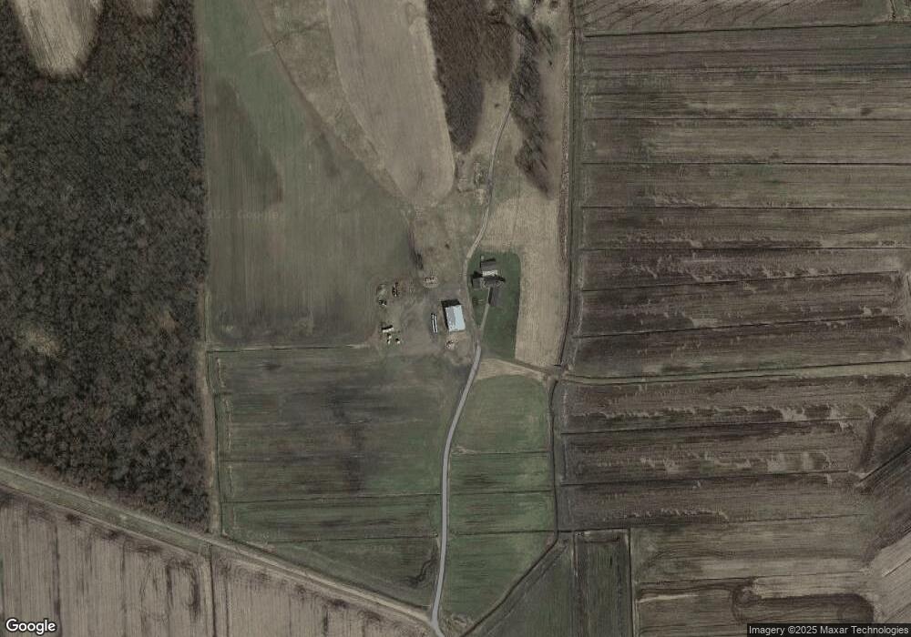
1116 Tow Path Rd Port Byron, NY 13140
Estimated Value: $157,000 - $307,000
3
Beds
2
Baths
1,500
Sq Ft
$163/Sq Ft
Est. Value
About This Home
This home is located at 1116 Tow Path Rd, Port Byron, NY 13140 and is currently estimated at $244,558, approximately $163 per square foot. 1116 Tow Path Rd is a home with nearby schools including A.A. Gates Elementary School and Port Byron Senior High School.
Ownership History
Date
Name
Owned For
Owner Type
Purchase Details
Closed on
Dec 24, 2014
Sold by
Tjm Real Estate Holdings Llc
Bought by
Green Valley Farms Llc
Current Estimated Value
Home Financials for this Owner
Home Financials are based on the most recent Mortgage that was taken out on this home.
Original Mortgage
$200,000
Outstanding Balance
$153,762
Interest Rate
4.02%
Mortgage Type
Credit Line Revolving
Estimated Equity
$90,796
Create a Home Valuation Report for This Property
The Home Valuation Report is an in-depth analysis detailing your home's value as well as a comparison with similar homes in the area
Home Values in the Area
Average Home Value in this Area
Purchase History
| Date | Buyer | Sale Price | Title Company |
|---|---|---|---|
| Green Valley Farms Llc | $281,270 | Robert Barry | |
| Green Valley Farms Llc | $706,270 | None Available |
Source: Public Records
Mortgage History
| Date | Status | Borrower | Loan Amount |
|---|---|---|---|
| Open | Green Valley Farms Llc | $200,000 |
Source: Public Records
Tax History Compared to Growth
Tax History
| Year | Tax Paid | Tax Assessment Tax Assessment Total Assessment is a certain percentage of the fair market value that is determined by local assessors to be the total taxable value of land and additions on the property. | Land | Improvement |
|---|---|---|---|---|
| 2024 | $4,460 | $151,100 | $20,100 | $131,000 |
| 2023 | $4,571 | $151,100 | $20,100 | $131,000 |
| 2022 | $4,893 | $151,100 | $20,100 | $131,000 |
| 2021 | $5,028 | $151,100 | $20,100 | $131,000 |
| 2020 | $5,185 | $151,100 | $20,100 | $131,000 |
| 2019 | $2,020 | $151,100 | $20,100 | $131,000 |
| 2018 | $5,053 | $151,100 | $20,100 | $131,000 |
| 2017 | $5,094 | $151,100 | $20,100 | $131,000 |
| 2016 | $5,041 | $151,100 | $20,100 | $131,000 |
| 2015 | -- | $137,100 | $19,700 | $117,400 |
| 2014 | -- | $137,100 | $19,700 | $117,400 |
Source: Public Records
Map
Nearby Homes
- 1 Curtis St
- 11 Canal St
- 5 Canal St
- 134 Main St
- 179 Main St
- 8129 High St
- 8089 State Route 90
- 1756 New York Central Rd
- 1274 Haiti Rd
- 7959 State Street Rd
- 7410 Rice Rd
- 9762 State Route 38
- 13797 Old Rt 31 (Rte 89) E
- 7528 Armbruster Rd
- 13443 Seneca St
- 7639 State Street Rd
- 7078 Fuller Rd
- 2935 New York 89
- 1568 High St
- 7514 State Street Rd
- 1263 Tow Path Rd
- 8706 Wilsey Rd
- 8703 Wilsey Rd
- 8551 Davis Rd
- 1052 Route 31
- 8576 Wilsey Rd
- 8728 Wilsey Rd
- 1264 Maiden Lane Rd
- 8758 Wilsey Rd
- 8573 Thompson Rd
- 8695 Thompson Rd
- 8527 Trumble Rd
- 8578 Thompson Rd
- 8509 Trumble Rd
- 8534 Wilsey Rd
- 8650 Thompson Rd
- 8552 Denman Rd
- 1117 State Route 31
- 8536 Denman Rd
- 8684 Thompson Rd