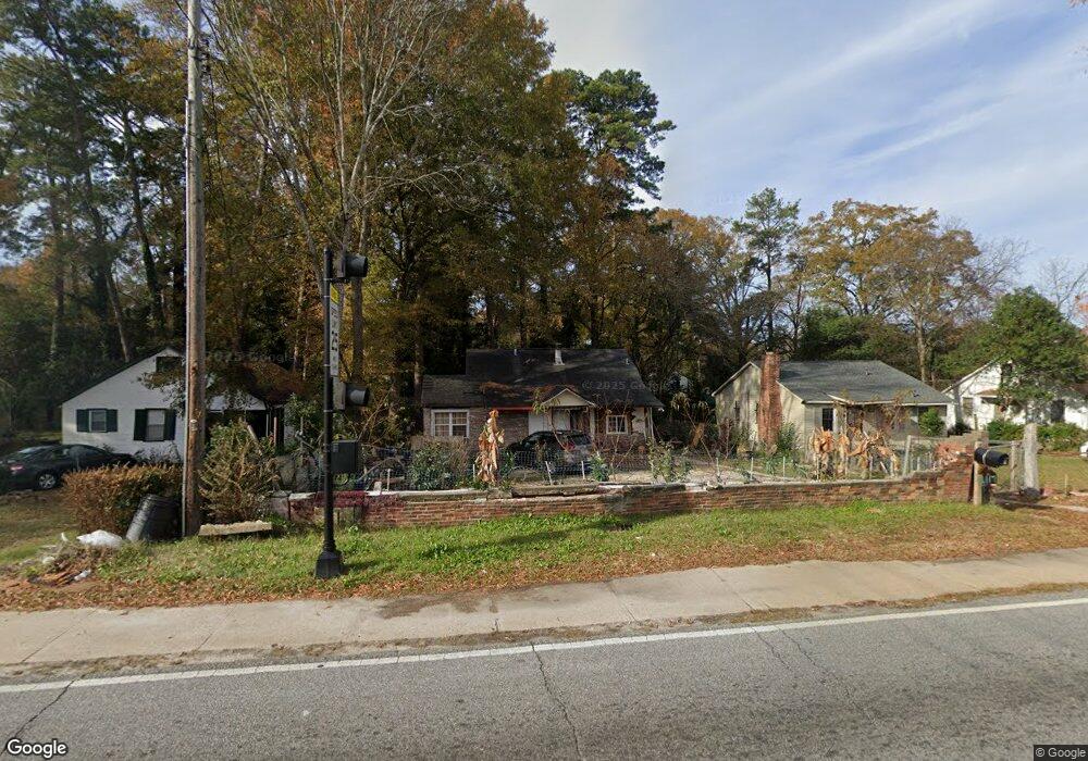
1117 Benning Dr Columbus, GA 31903
Southern Columbus NeighborhoodEstimated Value: $27,000 - $86,000
3
Beds
2
Baths
1,213
Sq Ft
$46/Sq Ft
Est. Value
About This Home
This home is located at 1117 Benning Dr, Columbus, GA 31903 and is currently estimated at $55,238, approximately $45 per square foot. 1117 Benning Dr is a home located in Muscogee County with nearby schools including Dorothy Height Elementary School, Baker Middle School, and Spencer High School.
Ownership History
Date
Name
Owned For
Owner Type
Purchase Details
Closed on
Oct 21, 2021
Sold by
Hernandez Jose Adolfo Villalta
Bought by
Marroquin Elizabeth Hernandez
Current Estimated Value
Purchase Details
Closed on
Jan 26, 2016
Sold by
Solid Rock Asset Managemen
Bought by
Hernandez Jose Adolfo Villalta
Purchase Details
Closed on
Sep 13, 2012
Sold by
South Eastern Sky Realty L
Bought by
Solid Rock Asset Management Co
Purchase Details
Closed on
Apr 12, 2011
Sold by
Dufala Jacqueline
Bought by
South Eastern Sky Realty
Create a Home Valuation Report for This Property
The Home Valuation Report is an in-depth analysis detailing your home's value as well as a comparison with similar homes in the area
Home Values in the Area
Average Home Value in this Area
Purchase History
| Date | Buyer | Sale Price | Title Company |
|---|---|---|---|
| Marroquin Elizabeth Hernandez | -- | -- | |
| Hernandez Jose Adolfo Villalta | $4,900 | -- | |
| Solid Rock Asset Management Co | $3,500 | -- | |
| South Eastern Sky Realty | $2,500 | -- |
Source: Public Records
Tax History Compared to Growth
Tax History
| Year | Tax Paid | Tax Assessment Tax Assessment Total Assessment is a certain percentage of the fair market value that is determined by local assessors to be the total taxable value of land and additions on the property. | Land | Improvement |
|---|---|---|---|---|
| 2025 | $10 | $9,372 | $4,252 | $5,120 |
| 2024 | $9 | $10,964 | $4,252 | $6,712 |
| 2023 | $432 | $10,964 | $4,252 | $6,712 |
| 2022 | $383 | $9,388 | $4,252 | $5,136 |
| 2021 | $364 | $8,908 | $4,252 | $4,656 |
| 2020 | $364 | $8,908 | $4,252 | $4,656 |
| 2019 | $365 | $8,908 | $4,252 | $4,656 |
| 2018 | $365 | $8,908 | $4,252 | $4,656 |
| 2017 | $297 | $1,960 | $920 | $1,040 |
| 2016 | $165 | $4,000 | $1,860 | $2,140 |
| 2015 | $165 | $4,000 | $1,860 | $2,140 |
| 2014 | $165 | $4,000 | $1,860 | $2,140 |
| 2013 | -- | $4,000 | $1,860 | $2,140 |
Source: Public Records
Map
Nearby Homes
- 3522 Youmans St
- 1025 Fletcher Ave
- 3711 Youmans St
- 917 Fletcher Ave
- 929 Winston Rd
- 920 Brooks Rd
- 3815 Baker Plaza Dr
- 906 Winston Rd
- 824 Winston Rd
- 810 Winston Rd
- 716 Benning Dr
- 4026 Bowman St
- 2451 Brownie Ln
- 1274 Providence Ln
- 2463 Brownie Ln
- 1514 Bowman St
- 1511 Foye Ave
- 2463 Brownie St
- 2973 Hawthorne Dr
- 4163 Swann St
- 1121 Benning Dr
- 1111 Benning Dr
- 1127 Benning Dr
- 1107 Benning Dr
- 1201 Benning Dr
- 1116 Winston Rd
- 1103 Benning Dr
- 1112 Winston Rd
- 1120 Winston Rd
- 1124 Winston Rd
- 1106 Winston Rd
- 1202 Winston Rd
- 1102 Winston Rd
- 1205 Benning Dr
- 1206 Winston Rd
- 1055 Benning Dr
- 3343 Head St
- 1053 Benning Dr
- 3339 Head St
- 1064 Winston Rd