1117 Brassie Ct Arnold, MD 21012
Estimated Value: $461,000 - $529,000
Studio
3
Baths
1,991
Sq Ft
$249/Sq Ft
Est. Value
About This Home
This home is located at 1117 Brassie Ct, Arnold, MD 21012 and is currently estimated at $495,684, approximately $248 per square foot. 1117 Brassie Ct is a home located in Anne Arundel County with nearby schools including Broadneck Elementary School, Magothy River Middle School, and Broadneck High School.
Ownership History
Date
Name
Owned For
Owner Type
Purchase Details
Closed on
Jul 26, 2000
Sold by
Ensor Donald A
Bought by
Ware Marie M
Current Estimated Value
Purchase Details
Closed on
Feb 23, 1996
Sold by
Ensor Donald A
Bought by
Ensor Donald A
Purchase Details
Closed on
Aug 12, 1993
Sold by
Us Home Corp
Bought by
Ensor Donald A
Home Financials for this Owner
Home Financials are based on the most recent Mortgage that was taken out on this home.
Original Mortgage
$145,500
Interest Rate
7.16%
Create a Home Valuation Report for This Property
The Home Valuation Report is an in-depth analysis detailing your home's value as well as a comparison with similar homes in the area
Home Values in the Area
Average Home Value in this Area
Purchase History
| Date | Buyer | Sale Price | Title Company |
|---|---|---|---|
| Ware Marie M | $177,900 | -- | |
| Ensor Donald A | $10,000 | -- | |
| Ensor Donald A | $153,214 | -- |
Source: Public Records
Mortgage History
| Date | Status | Borrower | Loan Amount |
|---|---|---|---|
| Previous Owner | Ensor Donald A | $145,500 | |
| Closed | Ware Marie M | -- |
Source: Public Records
Tax History
| Year | Tax Paid | Tax Assessment Tax Assessment Total Assessment is a certain percentage of the fair market value that is determined by local assessors to be the total taxable value of land and additions on the property. | Land | Improvement |
|---|---|---|---|---|
| 2025 | $3,423 | $377,433 | -- | -- |
| 2024 | $3,423 | $349,700 | $170,000 | $179,700 |
| 2023 | $3,333 | $344,300 | $0 | $0 |
| 2022 | $3,542 | $338,900 | $0 | $0 |
| 2020 | $2,971 | $326,167 | $0 | $0 |
| 2019 | $5,720 | $318,833 | $0 | $0 |
| 2018 | $3,159 | $311,500 | $150,000 | $161,500 |
| 2017 | $2,709 | $298,933 | $0 | $0 |
| 2016 | -- | $286,367 | $0 | $0 |
| 2015 | -- | $273,800 | $0 | $0 |
| 2014 | -- | $273,800 | $0 | $0 |
Source: Public Records
Map
Nearby Homes
- 1110 Niblick Ct
- 1124 Brassie Ct
- 643 Oakland Hills Dr Unit U2A
- 975 Phillips Dr
- 1221 Seminole Dr
- 570 Quaker Ridge Ct
- 876 Shore Acres Rd
- 624 Southern Hills Dr Unit B-2A
- 1138 Ramblewood Dr
- 628 Southern Hills Dr Unit B-2C
- 592 Quaker Ridge Ct
- 618 Newbridge Ct Unit 3-618
- 662 Jupiter Hills Ct
- 656 Newbridge Ct Unit 4-656
- 1410 Greendale Ct Unit 2-1410
- 1165 Green Holly Ct
- 721 Fairway Dr
- 1411 Peregrine Path
- 1019 Landon Ln
- 959 Morgan Dr
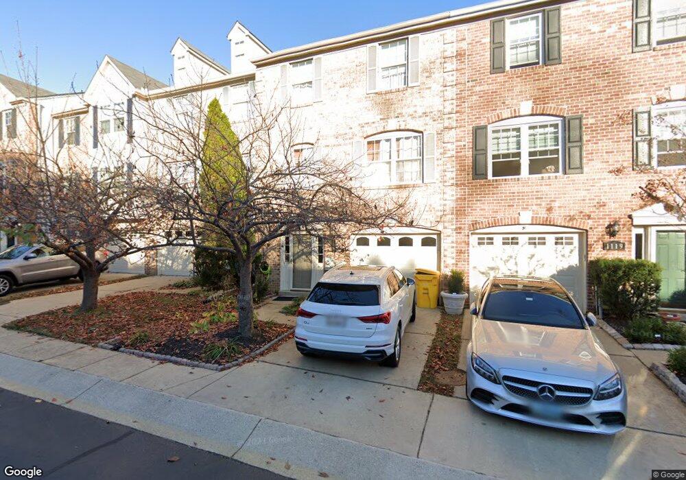
- 1119 Brassie Ct
- 1115 Brassie Ct
- 1113 Brassie Ct
- 1111 Brassie Ct
- 1111 Brassie Ct
- 1118 Brassie Ct
- 1116 Brassie Ct
- 1116 Brassie Ct Unit 70
- 1114 Brassie Ct Unit 71
- 1109 Brassie Ct
- 743 Pine Valley Dr
- 739 Pine Valley Dr
- 1102 Niblick Ct
- 1104 Niblick Ct
- 723 Mashie Ct
- 1106 Niblick Ct
- 1106 Niblick Ct Unit 89
- 721 Mashie Ct
- 1108 Niblick Ct
- 719 Mashie Ct Unit 56
Your Personal Tour Guide
Ask me questions while you tour the home.