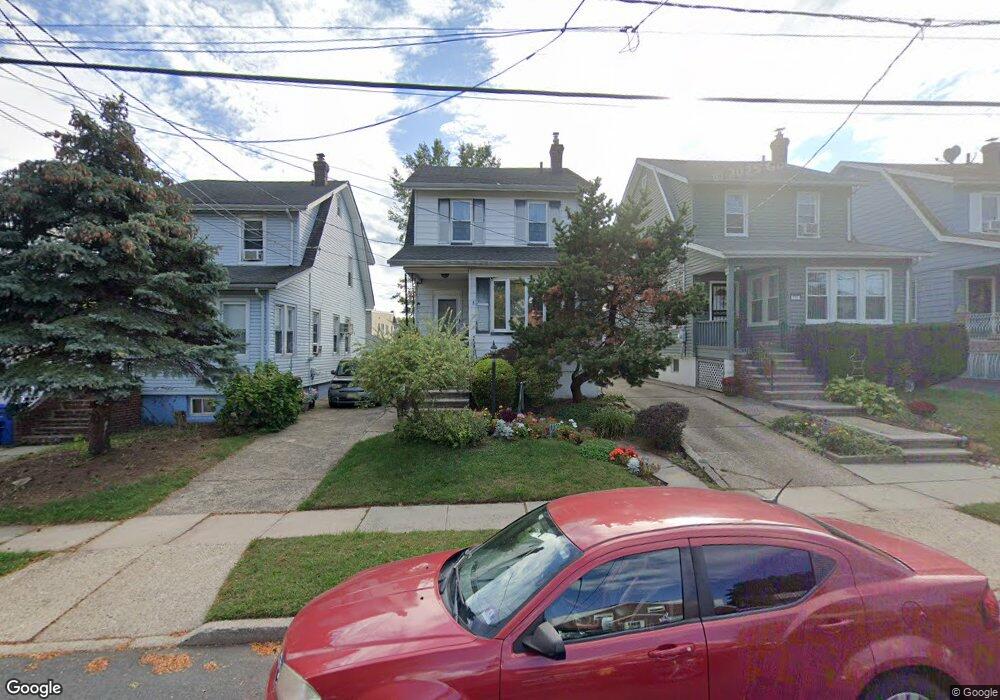
1117 Clark St Linden, NJ 07036
Estimated Value: $401,696 - $510,000
--
Bed
--
Bath
680
Sq Ft
$670/Sq Ft
Est. Value
About This Home
This home is located at 1117 Clark St, Linden, NJ 07036 and is currently estimated at $455,924, approximately $670 per square foot. 1117 Clark St is a home located in Union County with nearby schools including Number 1, Joseph E. Soehl Middle School, and Linden High School.
Ownership History
Date
Name
Owned For
Owner Type
Purchase Details
Closed on
Nov 13, 1998
Sold by
Wang Wei Quin and Ng Kwok N
Bought by
Price Mary
Current Estimated Value
Home Financials for this Owner
Home Financials are based on the most recent Mortgage that was taken out on this home.
Original Mortgage
$132,925
Outstanding Balance
$29,244
Interest Rate
6.68%
Mortgage Type
FHA
Estimated Equity
$426,680
Purchase Details
Closed on
Aug 1, 1997
Sold by
Dicecilia Marie A and Bramante Joseph J
Bought by
Wang Wei Quin and Ng Kwok N
Create a Home Valuation Report for This Property
The Home Valuation Report is an in-depth analysis detailing your home's value as well as a comparison with similar homes in the area
Home Values in the Area
Average Home Value in this Area
Purchase History
| Date | Buyer | Sale Price | Title Company |
|---|---|---|---|
| Price Mary | $136,000 | Chicago Title Insurance Co | |
| Wang Wei Quin | $72,000 | -- |
Source: Public Records
Mortgage History
| Date | Status | Borrower | Loan Amount |
|---|---|---|---|
| Open | Price Mary | $132,925 |
Source: Public Records
Tax History Compared to Growth
Tax History
| Year | Tax Paid | Tax Assessment Tax Assessment Total Assessment is a certain percentage of the fair market value that is determined by local assessors to be the total taxable value of land and additions on the property. | Land | Improvement |
|---|---|---|---|---|
| 2025 | $8,016 | $114,000 | $43,600 | $70,400 |
| 2024 | $7,841 | $114,000 | $43,600 | $70,400 |
| 2023 | $7,841 | $114,000 | $43,600 | $70,400 |
| 2022 | $7,882 | $114,000 | $43,600 | $70,400 |
| 2021 | $7,922 | $114,000 | $43,600 | $70,400 |
| 2020 | $7,880 | $114,000 | $43,600 | $70,400 |
| 2019 | $7,853 | $114,000 | $43,600 | $70,400 |
| 2018 | $7,851 | $114,000 | $43,600 | $70,400 |
| 2017 | $7,681 | $114,000 | $43,600 | $70,400 |
| 2016 | $7,440 | $114,000 | $43,600 | $70,400 |
| 2015 | $7,156 | $114,000 | $43,600 | $70,400 |
| 2014 | $7,017 | $114,000 | $43,600 | $70,400 |
Source: Public Records
Map
Nearby Homes
- 414 3rd Ave
- 901 Clark St
- 812 Washington Ave
- 633 Maple Ave
- 559 Uncas Ave
- 115 Clark St
- 806 Roselle St
- 721 E Curtis St
- 2209 N Wood Ave
- 813 N Wood Ave
- 574 Sherman Ave
- 721 N Wood Ave
- 725 N Wood Ave
- 514 E Elm St
- 1809 N Wood Ave Unit D1
- 1220 Lincoln St
- 30 E Henry St
- 1210 Orchard Terrace
- 511 Brooklawn Ave Unit H1
- 382 Douglas Rd
- 1115 Clark St
- 1119 Clark St
- 1121 Clark St
- 1111 Clark St
- 1116 Walnut St Unit 2
- 1116 Walnut St Unit 1118
- 1122 Walnut St
- 1105 Clark St
- 1112 Walnut St
- 1126 Walnut St
- 417 4th Ave
- 1128 Walnut St
- 1128 Walnut St Unit 1
- 1110 Walnut St
- 1120 Clark St
- 415 4th Ave
- 1103 Clark St
- 1114 Clark St
- 1126 Clark St
- 1132 Walnut St