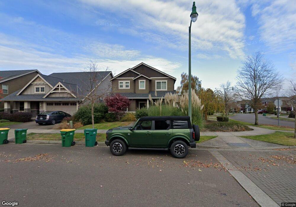
1117 Goff Rd Forest Grove, OR 97116
Estimated Value: $553,980 - $607,000
3
Beds
3
Baths
2,060
Sq Ft
$283/Sq Ft
Est. Value
About This Home
This home is located at 1117 Goff Rd, Forest Grove, OR 97116 and is currently estimated at $583,745, approximately $283 per square foot. 1117 Goff Rd is a home located in Washington County with nearby schools including Dilley Elementary School, Tom McCall Upper Elementary School, and Neil Armstrong Middle School.
Ownership History
Date
Name
Owned For
Owner Type
Purchase Details
Closed on
Aug 24, 2014
Sold by
Dr Horton Inc Portland
Bought by
Cullick Benjamin E
Current Estimated Value
Home Financials for this Owner
Home Financials are based on the most recent Mortgage that was taken out on this home.
Original Mortgage
$267,847
Outstanding Balance
$203,483
Interest Rate
4.09%
Mortgage Type
New Conventional
Estimated Equity
$380,262
Create a Home Valuation Report for This Property
The Home Valuation Report is an in-depth analysis detailing your home's value as well as a comparison with similar homes in the area
Purchase History
| Date | Buyer | Sale Price | Title Company |
|---|---|---|---|
| Cullick Benjamin E | $281,945 | First American |
Source: Public Records
Mortgage History
| Date | Status | Borrower | Loan Amount |
|---|---|---|---|
| Open | Cullick Benjamin E | $267,847 |
Source: Public Records
Tax History
| Year | Tax Paid | Tax Assessment Tax Assessment Total Assessment is a certain percentage of the fair market value that is determined by local assessors to be the total taxable value of land and additions on the property. | Land | Improvement |
|---|---|---|---|---|
| 2026 | $6,115 | $343,390 | -- | -- |
| 2025 | $6,115 | $333,390 | -- | -- |
| 2024 | $5,899 | $323,680 | -- | -- |
| 2023 | $5,899 | $314,260 | $0 | $0 |
| 2022 | $5,158 | $314,260 | $0 | $0 |
| 2021 | $5,091 | $296,230 | $0 | $0 |
| 2020 | $5,064 | $287,610 | $0 | $0 |
| 2019 | $4,951 | $279,240 | $0 | $0 |
| 2018 | $4,799 | $271,110 | $0 | $0 |
| 2017 | $4,651 | $263,220 | $0 | $0 |
| 2016 | $4,520 | $255,560 | $0 | $0 |
| 2015 | $4,346 | $248,120 | $0 | $0 |
| 2014 | $1,401 | $79,600 | $0 | $0 |
Source: Public Records
Map
Nearby Homes
- 2545 Windstream St
- 1030 Willamina Ave
- 1315 Begonia Ave
- 2440 Heather Way
- 1310 Gales Creek Rd
- 1407 Willamina Ave
- 1224 Alyssum Ave
- 918 Rosebud Ct
- 920 Rosebud Ct
- 916 Rosebud Ct
- 922 Rosebud Ct
- 1820 NW Thatcher Rd
- 1316 19th Place
- 904 Rosebud Ct
- 911 Rosebud Ct
- 901 Rosebud Ct
- 3245 Butte Dr
- 836 Misty Ln
- 3305 Butte Dr
- 865 Glade Ave
- 1111 Goff Rd
- 1112 Stonewall Ave
- 1079 Goff Rd
- 1118 Stonewall Ave
- 1155 Goff Rd
- 1106 Stonewall Ave
- 1082 Stonewall Ave
- 0 Goff Rd Unit 10059142
- 1161 Goff Rd
- 1076 Stonewall Ave
- 1067 Goff Rd
- 2521 Windstream St
- 1173 Goff Rd
- 2415 Windstream St
- 2533 Windstream St
- 1061 Goff Rd
- 1070 Stonewall Ave
- 1127 Stonewall Ave
- 1121 Stonewall Ave
- 1115 Stonewall Ave
Your Personal Tour Guide
Ask me questions while you tour the home.