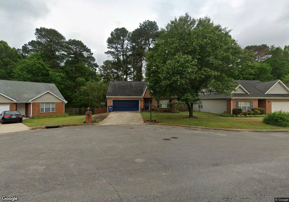
1117 Hale Cir Center Point, AL 35215
Estimated Value: $186,000 - $230,000
2
Beds
2
Baths
2,415
Sq Ft
$89/Sq Ft
Est. Value
About This Home
This home is located at 1117 Hale Cir, Center Point, AL 35215 and is currently estimated at $215,867, approximately $89 per square foot. 1117 Hale Cir is a home located in Jefferson County with nearby schools including Chalkville Elementary School, Clay-Chalkville Middle School, and Clay-Chalkville High School.
Ownership History
Date
Name
Owned For
Owner Type
Purchase Details
Closed on
Jun 15, 2006
Sold by
Carr Wayne and Estate Of The Patricia Carr
Bought by
Betts Terri L
Current Estimated Value
Home Financials for this Owner
Home Financials are based on the most recent Mortgage that was taken out on this home.
Original Mortgage
$111,920
Outstanding Balance
$65,579
Interest Rate
6.51%
Mortgage Type
New Conventional
Estimated Equity
$150,288
Purchase Details
Closed on
Jul 1, 1998
Sold by
Russell Mary V
Bought by
Carr Patricia A
Home Financials for this Owner
Home Financials are based on the most recent Mortgage that was taken out on this home.
Original Mortgage
$55,000
Interest Rate
7.1%
Create a Home Valuation Report for This Property
The Home Valuation Report is an in-depth analysis detailing your home's value as well as a comparison with similar homes in the area
Home Values in the Area
Average Home Value in this Area
Purchase History
| Date | Buyer | Sale Price | Title Company |
|---|---|---|---|
| Betts Terri L | $139,900 | None Available | |
| Carr Patricia A | $123,500 | -- |
Source: Public Records
Mortgage History
| Date | Status | Borrower | Loan Amount |
|---|---|---|---|
| Open | Betts Terri L | $111,920 | |
| Previous Owner | Carr Patricia A | $55,000 |
Source: Public Records
Tax History Compared to Growth
Tax History
| Year | Tax Paid | Tax Assessment Tax Assessment Total Assessment is a certain percentage of the fair market value that is determined by local assessors to be the total taxable value of land and additions on the property. | Land | Improvement |
|---|---|---|---|---|
| 2024 | $902 | $19,660 | -- | -- |
| 2022 | $793 | $15,470 | $1,810 | $13,660 |
| 2021 | $714 | $13,910 | $1,810 | $12,100 |
| 2020 | $664 | $13,010 | $1,810 | $11,200 |
| 2019 | $664 | $13,020 | $0 | $0 |
| 2018 | $735 | $14,300 | $0 | $0 |
| 2017 | $735 | $14,300 | $0 | $0 |
| 2016 | $564 | $12,320 | $0 | $0 |
| 2015 | $657 | $14,180 | $0 | $0 |
| 2014 | $620 | $13,340 | $0 | $0 |
| 2013 | $620 | $13,340 | $0 | $0 |
Source: Public Records
Map
Nearby Homes
- 2415 Ormond Dr
- 1725 Gable Ct
- 2608 Gable Ct
- 2416 Debbie Dr
- 2304 Applewood Dr
- 5540 Matt Aaron Ln
- 5081 Cantebury Ct
- 2701 10th St NE
- 5589 Matt Aaron Ln
- 609 23rd Ave NE
- 2709 9th St NE
- 2508 7th St NE
- 2236 8th St NE
- 512 22nd Terrace NE
- 2804 10th St NE
- 2517 6th St NE
- 834 Torrey Pines Cir
- 2212 Shirley Dr
- 5105 Marie Cir
- 2501 5th St NE