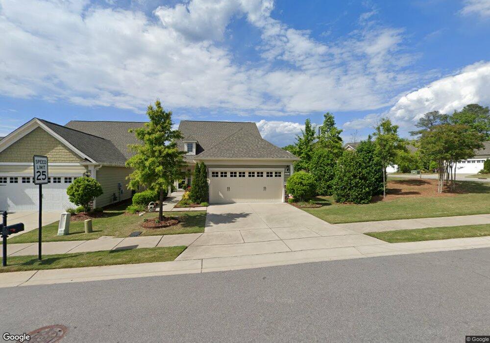
1117 Hines Forest Dr Durham, NC 27703
Eastern Durham NeighborhoodEstimated Value: $550,288 - $589,000
3
Beds
3
Baths
2,100
Sq Ft
$272/Sq Ft
Est. Value
About This Home
This home is located at 1117 Hines Forest Dr, Durham, NC 27703 and is currently estimated at $570,322, approximately $271 per square foot. 1117 Hines Forest Dr is a home with nearby schools including Spring Valley Elementary School, John W Neal Middle School, and Southern School of Energy & Sustainability.
Ownership History
Date
Name
Owned For
Owner Type
Purchase Details
Closed on
Feb 25, 2021
Sold by
Gibson John G and Gibson Annette H
Bought by
Lundquist James T and Lundquist Carol J
Current Estimated Value
Purchase Details
Closed on
Jun 9, 2015
Sold by
Pulte Home Corp
Bought by
Gibson John G and Gibson Annette H
Home Financials for this Owner
Home Financials are based on the most recent Mortgage that was taken out on this home.
Original Mortgage
$125,001
Interest Rate
3.92%
Mortgage Type
New Conventional
Create a Home Valuation Report for This Property
The Home Valuation Report is an in-depth analysis detailing your home's value as well as a comparison with similar homes in the area
Home Values in the Area
Average Home Value in this Area
Purchase History
| Date | Buyer | Sale Price | Title Company |
|---|---|---|---|
| Lundquist James T | $409,000 | None Available | |
| Gibson John G | $356,000 | None Available |
Source: Public Records
Mortgage History
| Date | Status | Borrower | Loan Amount |
|---|---|---|---|
| Previous Owner | Gibson John G | $125,001 |
Source: Public Records
Tax History Compared to Growth
Tax History
| Year | Tax Paid | Tax Assessment Tax Assessment Total Assessment is a certain percentage of the fair market value that is determined by local assessors to be the total taxable value of land and additions on the property. | Land | Improvement |
|---|---|---|---|---|
| 2025 | $5,996 | $604,910 | $126,540 | $478,370 |
| 2024 | $5,215 | $373,889 | $82,500 | $291,389 |
| 2023 | $4,898 | $373,889 | $82,500 | $291,389 |
| 2022 | $4,785 | $373,889 | $82,500 | $291,389 |
| 2021 | $4,763 | $373,889 | $82,500 | $291,389 |
| 2020 | $4,651 | $373,889 | $82,500 | $291,389 |
| 2019 | $4,651 | $373,889 | $82,500 | $291,389 |
| 2018 | $4,438 | $327,170 | $50,000 | $277,170 |
| 2017 | $4,405 | $327,170 | $50,000 | $277,170 |
| 2016 | $4,546 | $349,414 | $50,000 | $299,414 |
| 2015 | $604 | $43,600 | $43,600 | $0 |
Source: Public Records
Map
Nearby Homes
- 1414 Clay Hill Way
- 1812 Horne Creek Dr
- 1422 Palmer Hill Dr
- 6218 Old Tavern Dr
- 520 Sunset Lake Dr
- 518 Sunset Lake St
- 2007 Oakdale Dr
- 2018 Oakdale Dr
- 518 Sunset Lake Dr
- 519 Sunset Lake Dr
- 522 Sunset Lake Dr
- 2020 Oakdale Dr
- 519 Turnstone Dr
- 2009 Oakdale Dr
- 1112 Hooper Place
- 2029 Oakdale Dr
- 202 Currituck Ln
- 3033 Glen Lyon Dr
- 2017 Oakdale Dr
- Plan 1913 Modeled at Brooks Mill Townhomes - Brooks Mill II Townhomes
- 1115 Hines Forest Dr
- 1113 Hines Forest Dr
- 1111 Hines Forest Dr
- 1613 Horne Creek Dr
- 1109 Hines Forest Dr
- 1710 Horne Creek Dr
- 1708 Horne Creek Dr
- 1611 Horne Creek Dr
- 1712 Horne Creek Dr
- 1114 Hines Forest Dr
- 1706 Horne Creek Dr
- 1716 Horne Creek Dr
- 1718 Horne Creek Dr
- 1720 Horne Creek Dr
- 1616 Horne Creek Dr
- 1609 Horne Creek Dr
- 1722 Horne Creek Dr
- 1110 Hines Forest Dr
- 1614 Horne Creek Dr
- 1724 Horne Creek Dr