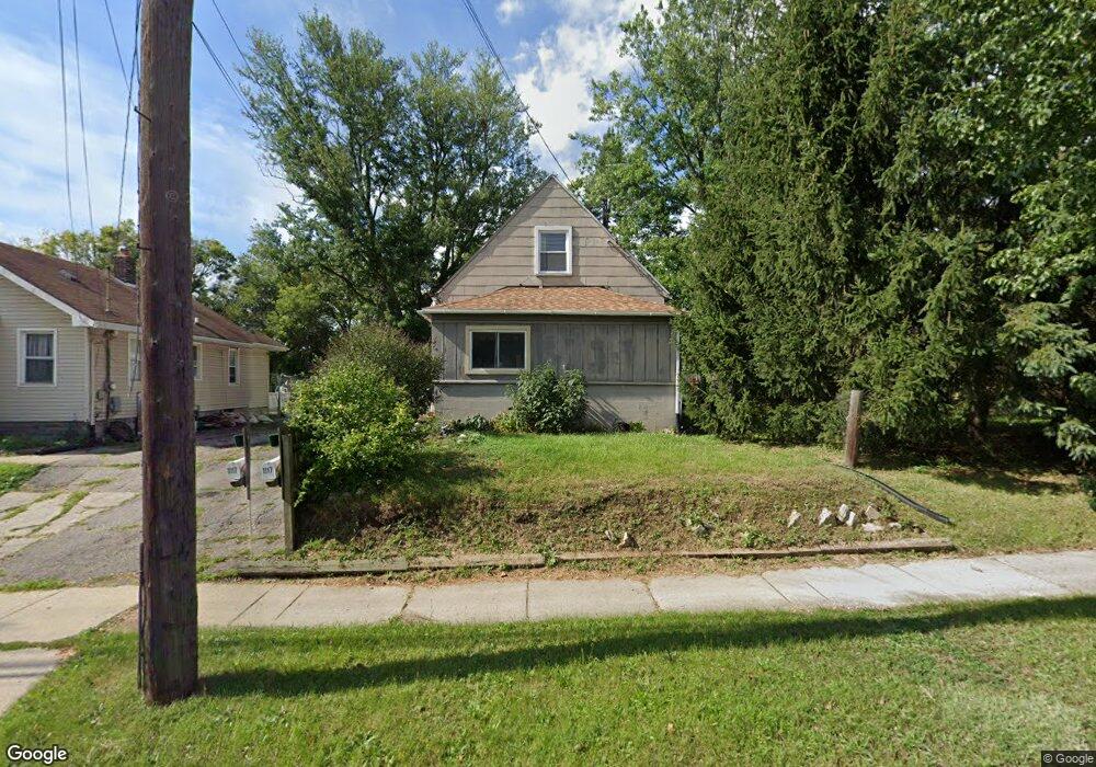
1117 Lake Lansing Rd Lansing, MI 48906
Northside Lansing NeighborhoodEstimated Value: $95,000 - $128,000
3
Beds
1
Bath
700
Sq Ft
$149/Sq Ft
Est. Value
About This Home
This home is located at 1117 Lake Lansing Rd, Lansing, MI 48906 and is currently estimated at $104,091, approximately $148 per square foot. 1117 Lake Lansing Rd is a home located in Ingham County with nearby schools including Gier Park School, Pattengill Academy, and Eastern High School.
Ownership History
Date
Name
Owned For
Owner Type
Purchase Details
Closed on
Sep 3, 2024
Sold by
Snook Paul Edwin
Bought by
Snook Paul Edwin and Snook Joshua Gerald
Current Estimated Value
Purchase Details
Closed on
Oct 17, 2022
Sold by
Snook Susan Elaine
Bought by
Snook Paul Edwin
Purchase Details
Closed on
Jul 22, 2022
Sold by
Elaine Snook Susan
Bought by
Snook Paul Edwin
Create a Home Valuation Report for This Property
The Home Valuation Report is an in-depth analysis detailing your home's value as well as a comparison with similar homes in the area
Home Values in the Area
Average Home Value in this Area
Purchase History
| Date | Buyer | Sale Price | Title Company |
|---|---|---|---|
| Snook Paul Edwin | -- | None Listed On Document | |
| Snook Paul Edwin | -- | None Listed On Document | |
| Snook Paul Edwin | $10,000 | -- | |
| Snook Paul Edwin | -- | -- |
Source: Public Records
Tax History Compared to Growth
Tax History
| Year | Tax Paid | Tax Assessment Tax Assessment Total Assessment is a certain percentage of the fair market value that is determined by local assessors to be the total taxable value of land and additions on the property. | Land | Improvement |
|---|---|---|---|---|
| 2025 | $1,767 | $46,400 | $6,100 | $40,300 |
| 2024 | $1,658 | $37,800 | $6,100 | $31,700 |
| 2023 | $1,658 | $33,200 | $6,100 | $27,100 |
| 2022 | $1,499 | $30,200 | $6,300 | $23,900 |
| 2021 | $1,468 | $28,900 | $6,100 | $22,800 |
| 2020 | $1,459 | $27,300 | $6,100 | $21,200 |
| 2019 | $1,396 | $26,300 | $6,100 | $20,200 |
| 2018 | $1,311 | $25,500 | $6,100 | $19,400 |
| 2017 | $1,254 | $25,500 | $6,100 | $19,400 |
| 2016 | $1,200 | $25,100 | $6,100 | $19,000 |
| 2015 | $1,200 | $24,700 | $12,275 | $12,425 |
| 2014 | $1,200 | $24,600 | $12,275 | $12,325 |
Source: Public Records
Map
Nearby Homes
- 0 Lake Lansing Rd Unit 289258
- 2318 N High St
- 1016 Lake Lansing Rd
- 1810 N High St
- 1811 Vermont Ave
- 1017 Whyte St
- 1624 N High St
- 801 Banghart St
- 1613 Massachusetts Ave
- 1919 N East St
- 1530 New York Ave
- 1527 Massachusetts Ave
- 1415 New York Ave
- V/L (1036) N Larch St
- 1317 Illinois Ave
- 2508 Gary Ave
- 816 Orchard Glen Ave
- 1141 Farrand St
- 1312 Otto St
- 430 Pearl St
- 1115 Lake Lansing Rd
- 1113 Lake Lansing Rd
- 1113 Lake
- 1205 Lake Lansing Rd
- 1111 Lake Lansing Rd
- 55 N High St
- 2219 Rheamount Ave
- 2148 N High St
- 1103 Lake Lansing Rd
- 57 N High St
- 1209 Lake Lansing Rd
- 2206 N High St
- 2223 Rheamount Ave
- 1116 Lake Lansing Rd
- 2220 Rheamount Ave
- 1116 Lake
- 2210 N High St
- 2116 N High St
- 1213 Lake Lansing Rd
- 1110 Lake Lansing Rd