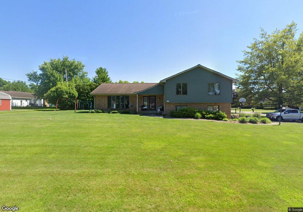
1117 Laura Ave Bucyrus, OH 44820
Estimated Value: $298,000 - $331,000
5
Beds
4
Baths
2,162
Sq Ft
$146/Sq Ft
Est. Value
About This Home
This home is located at 1117 Laura Ave, Bucyrus, OH 44820 and is currently estimated at $316,108, approximately $146 per square foot. 1117 Laura Ave is a home located in Crawford County with nearby schools including Bucyrus Elementary School, Bucyrus Secondary School, and CENTER FOR AUTISM / DYSLEXIA - BUCYRUS.
Ownership History
Date
Name
Owned For
Owner Type
Purchase Details
Closed on
May 15, 2013
Sold by
Sharrock Wanda L
Bought by
Makeever Matthew L and Makeever Kimberly A
Current Estimated Value
Home Financials for this Owner
Home Financials are based on the most recent Mortgage that was taken out on this home.
Original Mortgage
$132,750
Outstanding Balance
$94,236
Interest Rate
3.52%
Mortgage Type
New Conventional
Estimated Equity
$221,872
Create a Home Valuation Report for This Property
The Home Valuation Report is an in-depth analysis detailing your home's value as well as a comparison with similar homes in the area
Home Values in the Area
Average Home Value in this Area
Purchase History
| Date | Buyer | Sale Price | Title Company |
|---|---|---|---|
| Makeever Matthew L | $149,000 | None Available |
Source: Public Records
Mortgage History
| Date | Status | Borrower | Loan Amount |
|---|---|---|---|
| Open | Makeever Matthew L | $132,750 |
Source: Public Records
Tax History Compared to Growth
Tax History
| Year | Tax Paid | Tax Assessment Tax Assessment Total Assessment is a certain percentage of the fair market value that is determined by local assessors to be the total taxable value of land and additions on the property. | Land | Improvement |
|---|---|---|---|---|
| 2024 | $3,718 | $82,430 | $7,280 | $75,150 |
| 2023 | $3,718 | $68,530 | $5,600 | $62,930 |
| 2022 | $3,656 | $68,530 | $5,600 | $62,930 |
| 2021 | $3,648 | $68,530 | $5,600 | $62,930 |
| 2020 | $3,031 | $53,970 | $5,600 | $48,370 |
| 2019 | $3,099 | $53,970 | $5,600 | $48,370 |
| 2018 | $3,085 | $53,970 | $5,600 | $48,370 |
| 2017 | $2,763 | $46,650 | $5,600 | $41,050 |
| 2016 | $2,679 | $46,650 | $5,600 | $41,050 |
| 2015 | $2,640 | $46,650 | $5,600 | $41,050 |
| 2014 | $2,078 | $46,650 | $5,600 | $41,050 |
| 2013 | $2,078 | $46,650 | $5,600 | $41,050 |
Source: Public Records
Map
Nearby Homes
- 1149 Farmview Dr
- 1112 Hillcrest Dr
- 1123 Hillcrest Dr
- 0 Lynne Ave
- 1145 Lynne Ave
- 1315 Lynne Ave
- 2440 Wyandot Rd
- 1555 Rosedale Ave
- 130 Brentwood St
- 275 Brentwood St
- 452 Pleasant Ln
- 900 S Spring St
- 1211 S Sandusky Ave
- 1021 S Sandusky Ave
- 325 W Liberty St
- 2273 Kerstetter Rd
- 708 S Sandusky Ave
- 317 S Spring St
- 318 Charlotte St
- 316 W Warren St
- 1234 Farmview Dr
- 1115 Laura Ave
- 1124 Laura Ave
- 1225 Southland Dr
- 1219 Farmview Dr
- 1254 Farmview Dr
- 1104 Laura Ave
- 1239 Farmview Dr
- 1245 Southland Dr
- 1189 Farmview Dr
- 1164 Farmview Dr
- 1259 Farmview Dr
- 1167 Southland Dr
- 1274 Farmview Dr
- 1265 Southland Dr
- 1169 Farmview Dr
- 1025 Laura Ave
- 1120 Hillcrest Dr
- 1144 Farmview Dr
- 1220 Southland Dr