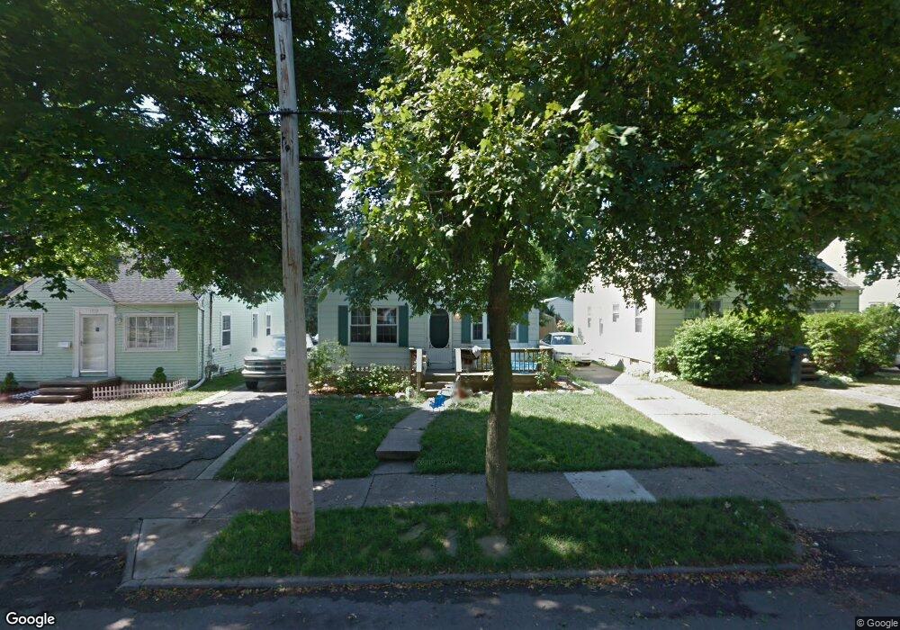
1117 Loraine Ave Lansing, MI 48910
Colonial Village NeighborhoodEstimated Value: $136,822 - $177,000
--
Bed
--
Bath
1,058
Sq Ft
$147/Sq Ft
Est. Value
About This Home
This home is located at 1117 Loraine Ave, Lansing, MI 48910 and is currently estimated at $155,956, approximately $147 per square foot. 1117 Loraine Ave is a home located in Ingham County with nearby schools including Averill Elementary School, Attwood School, and J.W. Sexton High School.
Ownership History
Date
Name
Owned For
Owner Type
Purchase Details
Closed on
May 28, 2025
Sold by
Barclay Daniel K and Braclay Deborah
Bought by
Barclay Daniel K and Barclay Spencer David-Daniel
Current Estimated Value
Purchase Details
Closed on
Jan 12, 1999
Sold by
Barclay Tonya M
Bought by
Barclay Daniel K
Home Financials for this Owner
Home Financials are based on the most recent Mortgage that was taken out on this home.
Original Mortgage
$64,877
Interest Rate
6.76%
Mortgage Type
FHA
Purchase Details
Closed on
Aug 23, 1996
Sold by
Schock Richard C and Schock Louella
Bought by
Barclay Daniel and Barclay Tonya
Create a Home Valuation Report for This Property
The Home Valuation Report is an in-depth analysis detailing your home's value as well as a comparison with similar homes in the area
Home Values in the Area
Average Home Value in this Area
Purchase History
| Date | Buyer | Sale Price | Title Company |
|---|---|---|---|
| Barclay Daniel K | -- | Independent Title | |
| Barclay Daniel K | -- | Midstate Title Company | |
| Barclay Daniel | $63,500 | -- |
Source: Public Records
Mortgage History
| Date | Status | Borrower | Loan Amount |
|---|---|---|---|
| Previous Owner | Barclay Daniel K | $64,877 |
Source: Public Records
Tax History Compared to Growth
Tax History
| Year | Tax Paid | Tax Assessment Tax Assessment Total Assessment is a certain percentage of the fair market value that is determined by local assessors to be the total taxable value of land and additions on the property. | Land | Improvement |
|---|---|---|---|---|
| 2025 | $3,786 | $63,000 | $6,900 | $56,100 |
| 2024 | $32 | $59,600 | $6,900 | $52,700 |
| 2023 | $2,802 | $54,400 | $6,900 | $47,500 |
| 2022 | $2,526 | $48,700 | $6,900 | $41,800 |
| 2021 | $2,474 | $45,900 | $7,000 | $38,900 |
| 2020 | $2,458 | $42,900 | $7,000 | $35,900 |
| 2019 | $2,356 | $40,300 | $7,000 | $33,300 |
| 2018 | $2,208 | $39,000 | $7,000 | $32,000 |
| 2017 | $2,114 | $39,000 | $7,000 | $32,000 |
| 2016 | $2,022 | $38,300 | $7,000 | $31,300 |
| 2015 | $2,022 | $37,200 | $13,930 | $23,270 |
| 2014 | $2,022 | $35,800 | $15,500 | $20,300 |
Source: Public Records
Map
Nearby Homes
- 2515 S Martin Luther King Junior Blvd
- 1120 Kelsey Ave
- 1032 Kelsey Ave
- 1404 Kelsey Ave
- 2421 Stirling Ave
- 2310 Stirling Ave
- 815 Woodbine Ave
- 2118 Marion Ave
- 1618 Loraine Ave
- 2112 Stirling Ave
- 924 Loa St
- 1607 Holly Way
- 1420 Poxson Ave
- 2011 S Martin Luther King jr Blvd
- 2313 S Rundle Ave
- 2001 S Martin Luther King Junior Blvd
- 907 Lenore Ave
- 1913 Stirling Ave
- 1312 W Mount Hope Ave
- 2806 S Washington Ave
- 1113 Loraine Ave
- 1121 Loraine Ave
- 1125 Loraine Ave
- 1116 W Rundle Ave
- 1112 W Rundle Ave
- 1120 W Rundle Ave
- 1129 Loraine Ave
- 1122 W Rundle Ave
- 1201 Loraine Ave
- 1116 Loraine Ave
- 1126 W Rundle Ave
- 1112 Loraine Ave
- 1120 Loraine Ave
- 1124 Loraine Ave
- 1126 Loraine Ave
- 1204 W Rundle Ave
- 1209 Loraine Ave
- 1202 Loraine Ave
- 1208 W Rundle Ave
- 1117 Kelsey Ave