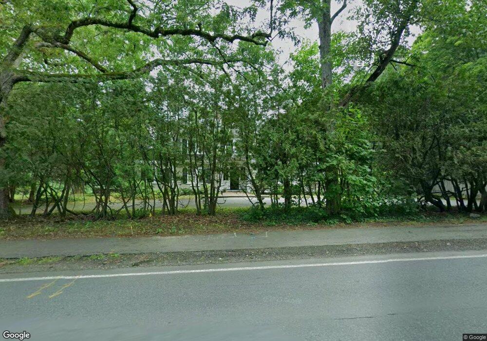
1117 Lowell Rd Concord, MA 01742
Estimated Value: $1,326,000 - $1,825,000
4
Beds
3
Baths
2,416
Sq Ft
$660/Sq Ft
Est. Value
About This Home
This home is located at 1117 Lowell Rd, Concord, MA 01742 and is currently estimated at $1,594,406, approximately $659 per square foot. 1117 Lowell Rd is a home located in Middlesex County with nearby schools including Thoreau Elementary School, Concord Middle School, and Concord Carlisle High School.
Ownership History
Date
Name
Owned For
Owner Type
Purchase Details
Closed on
Jun 17, 2011
Sold by
Oot Christopher V and Oot Sara S
Bought by
Favaloro George and Favaloro Anne J
Current Estimated Value
Home Financials for this Owner
Home Financials are based on the most recent Mortgage that was taken out on this home.
Original Mortgage
$676,000
Outstanding Balance
$448,556
Interest Rate
4%
Mortgage Type
Purchase Money Mortgage
Estimated Equity
$1,145,850
Purchase Details
Closed on
Jul 25, 1997
Sold by
Randle Stuart A and Randle Anne A
Bought by
Oot Christopher and Oot Sara S
Purchase Details
Closed on
Jan 19, 1993
Sold by
Sweet Elizabeth B
Bought by
Randle Stuart A and Randle Anna A
Create a Home Valuation Report for This Property
The Home Valuation Report is an in-depth analysis detailing your home's value as well as a comparison with similar homes in the area
Home Values in the Area
Average Home Value in this Area
Purchase History
| Date | Buyer | Sale Price | Title Company |
|---|---|---|---|
| Favaloro George | $845,000 | -- | |
| Oot Christopher | $543,000 | -- | |
| Randle Stuart A | $460,000 | -- |
Source: Public Records
Mortgage History
| Date | Status | Borrower | Loan Amount |
|---|---|---|---|
| Open | Favaloro George | $676,000 | |
| Previous Owner | Randle Stuart A | $373,000 | |
| Previous Owner | Randle Stuart A | $50,000 |
Source: Public Records
Tax History
| Year | Tax Paid | Tax Assessment Tax Assessment Total Assessment is a certain percentage of the fair market value that is determined by local assessors to be the total taxable value of land and additions on the property. | Land | Improvement |
|---|---|---|---|---|
| 2025 | $14,776 | $1,114,300 | $580,500 | $533,800 |
| 2024 | $14,631 | $1,114,300 | $580,500 | $533,800 |
| 2023 | $13,436 | $1,036,700 | $527,700 | $509,000 |
| 2022 | $12,536 | $849,300 | $422,100 | $427,200 |
| 2021 | $12,216 | $829,900 | $422,100 | $407,800 |
| 2020 | $11,817 | $830,400 | $422,100 | $408,300 |
| 2019 | $10,895 | $767,800 | $389,400 | $378,400 |
| 2018 | $10,916 | $763,900 | $390,400 | $373,500 |
| 2017 | $10,879 | $773,200 | $399,700 | $373,500 |
| 2016 | $10,447 | $750,500 | $381,100 | $369,400 |
| 2015 | $9,894 | $692,400 | $352,900 | $339,500 |
Source: Public Records
Map
Nearby Homes
- 316 Lindsay Pond Rd
- 495 Hugh Cargill Rd
- 735 Lowell Rd
- 735 Lowell Rd Lot 1 Land
- 107 Westford Rd
- 265 College Rd
- 853 Strawberry Hill Rd
- 104 Channing Rd
- 308 Musterfield Rd
- 244 Musterfield Rd
- 110 Spencer Brook Rd
- 2 Duston Ln
- 101 Adams Rd
- 79-81 Assabet Ave
- 29 Willard Common
- 49 Willard Common
- 134 Pope Rd
- 315 Musketaquid Rd
- 1 Baker Ave
- 1437-3 Monument St
Your Personal Tour Guide
Ask me questions while you tour the home.