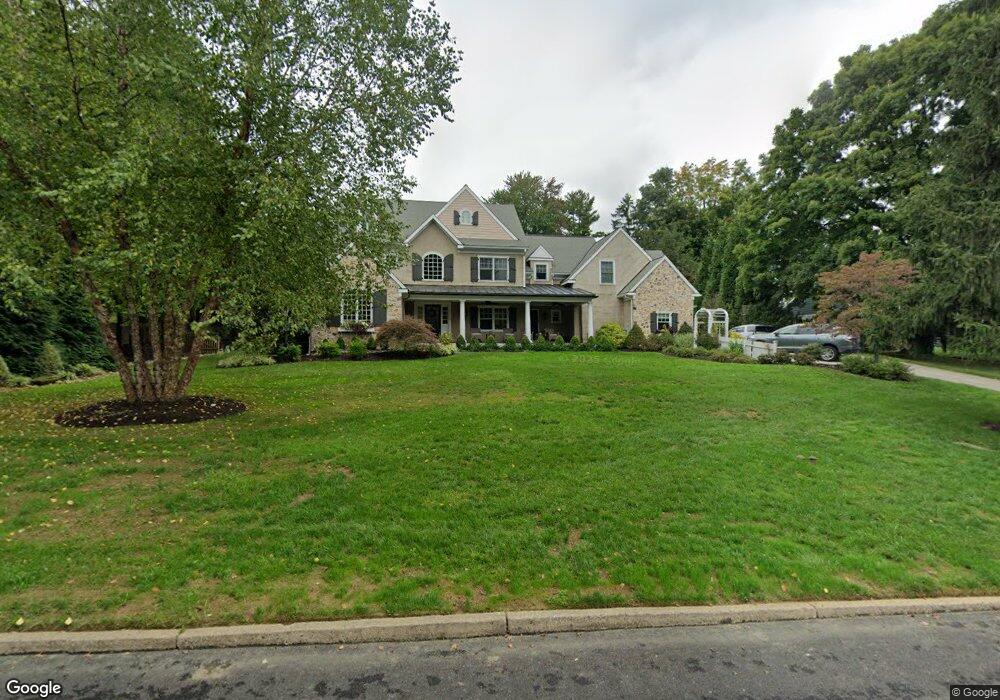
1117 Millbrook Rd Berwyn, PA 19312
Estimated Value: $1,626,000 - $2,413,000
6
Beds
6
Baths
5,750
Sq Ft
$364/Sq Ft
Est. Value
About This Home
This home is located at 1117 Millbrook Rd, Berwyn, PA 19312 and is currently estimated at $2,092,117, approximately $363 per square foot. 1117 Millbrook Rd is a home located in Chester County with nearby schools including Beaumont Elementary School, Tredyffrin-Easttown Middle School, and Conestoga Senior High School.
Ownership History
Date
Name
Owned For
Owner Type
Purchase Details
Closed on
May 2, 1997
Sold by
Peskoff Dean M and Peskoff Pamela R
Bought by
Mcevoy John and Mcevoy Ashley Adams
Current Estimated Value
Home Financials for this Owner
Home Financials are based on the most recent Mortgage that was taken out on this home.
Original Mortgage
$249,850
Interest Rate
7.31%
Create a Home Valuation Report for This Property
The Home Valuation Report is an in-depth analysis detailing your home's value as well as a comparison with similar homes in the area
Home Values in the Area
Average Home Value in this Area
Purchase History
| Date | Buyer | Sale Price | Title Company |
|---|---|---|---|
| Mcevoy John | $263,000 | -- |
Source: Public Records
Mortgage History
| Date | Status | Borrower | Loan Amount |
|---|---|---|---|
| Previous Owner | Mcevoy John | $249,850 |
Source: Public Records
Tax History Compared to Growth
Tax History
| Year | Tax Paid | Tax Assessment Tax Assessment Total Assessment is a certain percentage of the fair market value that is determined by local assessors to be the total taxable value of land and additions on the property. | Land | Improvement |
|---|---|---|---|---|
| 2025 | $26,009 | $697,310 | $83,180 | $614,130 |
| 2024 | $26,009 | $697,310 | $83,180 | $614,130 |
| 2023 | $24,319 | $697,310 | $83,180 | $614,130 |
| 2022 | $23,356 | $688,510 | $83,180 | $605,330 |
| 2021 | $22,848 | $688,510 | $83,180 | $605,330 |
| 2020 | $22,213 | $688,510 | $83,180 | $605,330 |
| 2019 | $21,594 | $688,510 | $83,180 | $605,330 |
| 2018 | $19,158 | $621,600 | $83,180 | $538,420 |
| 2017 | $18,726 | $621,600 | $83,180 | $538,420 |
| 2016 | -- | $621,600 | $83,180 | $538,420 |
| 2015 | -- | $621,600 | $83,180 | $538,420 |
| 2014 | -- | $621,600 | $83,180 | $538,420 |
Source: Public Records
Map
Nearby Homes
- 0 Prescott Rd Unit PACT2110528
- 1052 Prescott Rd
- 1179 Beaumont Rd
- 600 Waynesfield Dr
- 837 Nathan Hale Rd
- 206 Yorktown Place Unit 106
- 659 Andover Rd
- 709 Newtown Rd
- 191 Stony Point Dr
- 311 Stoney Knoll Ln
- 315 Stoney Knoll Ln
- 225 Charles Ellis Dr
- 322 Stoney Knoll Ln
- 4100 Meadow Ln
- 310 Stoney Knoll Ln
- 330 Stoney Knoll Ln
- 338 Stoney Knoll Ln
- 2490 White Horse Rd
- 326 Stoney Knoll Ln
- 718 Lot 1 Waterloo
- 1111 Millbrook Rd
- 1125 Millbrook Rd
- 1069 Darby Paoli Rd
- 1114 Millbrook Rd
- 1105 Millbrook Rd
- 1124 Millbrook Rd
- 1134 Waterloo Rd
- 1140 Waterloo Rd
- 1106 Millbrook Rd
- 1142 Waterloo Rd
- 1128 Waterloo Rd
- 1063 Millbrook Rd
- 1111 Darby Paoli Rd
- 1143 Pebble Spring Dr
- 1139 Pebble Spring Dr
- 1147 Pebble Spring Dr
- 1012 Waltham Rd
- 1116 Waterloo Rd
- 1151 Pebble Spring Dr
- 2004 Waterloo Rd