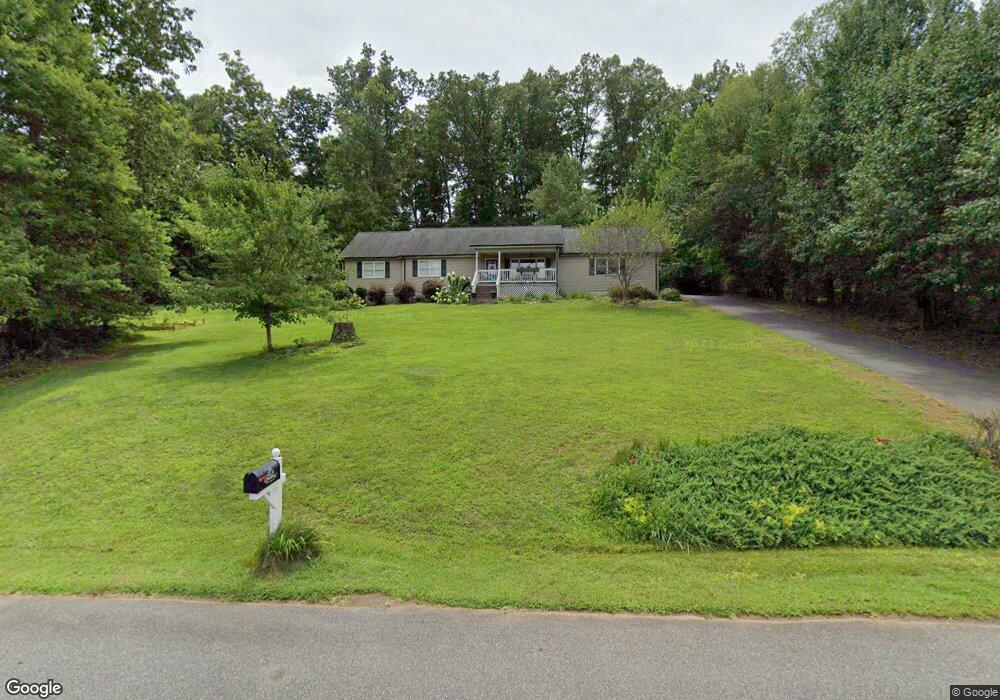
1117 Silverbrook Dr Morganton, NC 28655
Estimated Value: $252,000 - $289,000
2
Beds
2
Baths
1,470
Sq Ft
$180/Sq Ft
Est. Value
About This Home
This home is located at 1117 Silverbrook Dr, Morganton, NC 28655 and is currently estimated at $264,965, approximately $180 per square foot. 1117 Silverbrook Dr is a home located in Burke County with nearby schools including Oak Hill Elementary School, Table Rock Middle School, and Freedom High School.
Ownership History
Date
Name
Owned For
Owner Type
Purchase Details
Closed on
Nov 9, 2011
Sold by
Cunningham Justin
Bought by
Cunningham Justin and Cunningham Joanna
Current Estimated Value
Home Financials for this Owner
Home Financials are based on the most recent Mortgage that was taken out on this home.
Original Mortgage
$82,000
Interest Rate
4.02%
Mortgage Type
New Conventional
Create a Home Valuation Report for This Property
The Home Valuation Report is an in-depth analysis detailing your home's value as well as a comparison with similar homes in the area
Home Values in the Area
Average Home Value in this Area
Purchase History
| Date | Buyer | Sale Price | Title Company |
|---|---|---|---|
| Cunningham Justin | -- | None Available |
Source: Public Records
Mortgage History
| Date | Status | Borrower | Loan Amount |
|---|---|---|---|
| Closed | Cunningham Justin | $82,000 |
Source: Public Records
Tax History
| Year | Tax Paid | Tax Assessment Tax Assessment Total Assessment is a certain percentage of the fair market value that is determined by local assessors to be the total taxable value of land and additions on the property. | Land | Improvement |
|---|---|---|---|---|
| 2025 | $1,261 | $183,111 | $17,592 | $165,519 |
| 2024 | $1,266 | $183,111 | $17,592 | $165,519 |
| 2023 | $1,260 | $183,111 | $17,592 | $165,519 |
| 2022 | $1,219 | $144,892 | $17,592 | $127,300 |
| 2021 | $1,213 | $144,892 | $17,592 | $127,300 |
| 2020 | $1,209 | $144,892 | $17,592 | $127,300 |
| 2019 | $1,209 | $144,892 | $17,592 | $127,300 |
| 2018 | $1,135 | $135,378 | $17,592 | $117,786 |
| 2017 | $1,133 | $135,378 | $17,592 | $117,786 |
| 2016 | $1,107 | $135,378 | $17,592 | $117,786 |
| 2015 | $1,104 | $135,378 | $17,592 | $117,786 |
| 2014 | $1,103 | $135,378 | $17,592 | $117,786 |
| 2013 | $1,089 | $135,378 | $17,592 | $117,786 |
Source: Public Records
Map
Nearby Homes
- 1052 Benfield Woods
- 1156 Oak Forest Dr
- 0 Oak Forest Dr
- 1437 Oak Hill Dr
- 2937 Frank Whisnant Rd
- 1446 Bridlewood Ln
- 3026 Coventry Dr
- 1088 Faith Ct
- 1053 Faith Ct
- 1095 Faith Ct
- 1022 Faith Ct
- 1080 Faith Ct
- 1096 Faith Ct
- 1079 Faith Ct
- 109 Sherwood Dr
- 1008 Faith Ct
- 101 Honeysuckle Ln
- 304 Winding Creek Dr
- 302 Winding Creek Dr
- 316 Winding Creek Dr
- 0 Beechwood Dr Unit 3409241
- 1110 Silverbrook Dr
- 1127 Beechwood Dr
- 1094 Silverbrook Dr
- 2492 Spainhour Rd
- 2456 Spainhour Rd
- V/L Spainhour Rd
- 1126 Silverbrook Dr
- 1155 Beechwood Dr
- 1137 Beechwood Dr
- 0 Silverbrook Dr Unit 6 3726071
- 0 Silverbrook Dr Unit 5
- 2516 Spainhour Rd
- 2445 Spainhour Rd
- 2416 Spainhour Rd
- 2515 Spainhour Rd
- 2431 Spainhour Rd
- 1010 Benfield Woods
- 2313 Spainhour Rd
- 2550 Spainhour Rd
Your Personal Tour Guide
Ask me questions while you tour the home.