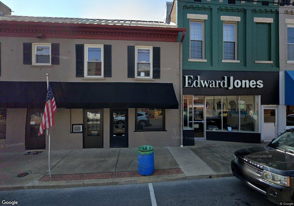
1117 State Route 2153 Morganfield, KY 42437
Estimated Value: $90,000 - $306,261
2
Beds
2
Baths
360
Sq Ft
$586/Sq Ft
Est. Value
About This Home
This home is located at 1117 State Route 2153, Morganfield, KY 42437 and is currently estimated at $211,087, approximately $586 per square foot. 1117 State Route 2153 is a home located in Union County with nearby schools including Union County High School.
Ownership History
Date
Name
Owned For
Owner Type
Purchase Details
Closed on
Mar 1, 2021
Sold by
Cardwell Evrett H
Bought by
Jones James L and Jones Rachel D
Current Estimated Value
Home Financials for this Owner
Home Financials are based on the most recent Mortgage that was taken out on this home.
Original Mortgage
$211,105
Outstanding Balance
$189,241
Interest Rate
2.7%
Mortgage Type
FHA
Estimated Equity
$21,846
Purchase Details
Closed on
Jul 14, 2017
Sold by
Barker Rodney Eugene
Bought by
Cardwell Ii Everett Holeman and Cardwell Monica Wright
Home Financials for this Owner
Home Financials are based on the most recent Mortgage that was taken out on this home.
Original Mortgage
$195,699
Interest Rate
3.91%
Mortgage Type
Unknown
Create a Home Valuation Report for This Property
The Home Valuation Report is an in-depth analysis detailing your home's value as well as a comparison with similar homes in the area
Home Values in the Area
Average Home Value in this Area
Purchase History
| Date | Buyer | Sale Price | Title Company |
|---|---|---|---|
| Jones James L | $215,000 | None Available | |
| Cardwell Ii Everett Holeman | $215,000 | None Available |
Source: Public Records
Mortgage History
| Date | Status | Borrower | Loan Amount |
|---|---|---|---|
| Open | Jones James L | $211,105 | |
| Previous Owner | Cardwell Ii Everett Holeman | $195,699 |
Source: Public Records
Tax History Compared to Growth
Tax History
| Year | Tax Paid | Tax Assessment Tax Assessment Total Assessment is a certain percentage of the fair market value that is determined by local assessors to be the total taxable value of land and additions on the property. | Land | Improvement |
|---|---|---|---|---|
| 2024 | $2,235 | $215,000 | $30,000 | $185,000 |
| 2023 | $2,222 | $215,000 | $30,000 | $185,000 |
| 2022 | $2,277 | $215,000 | $30,000 | $185,000 |
| 2021 | $2,303 | $215,000 | $30,000 | $185,000 |
| 2020 | $2,335 | $215,000 | $30,000 | $185,000 |
| 2019 | $2,379 | $215,000 | $30,000 | $185,000 |
| 2018 | $2,307 | $215,000 | $30,000 | $185,000 |
| 2017 | $2,008 | $215,000 | $30,000 | $185,000 |
| 2016 | $2,008 | $215,000 | $30,000 | $185,000 |
| 2015 | -- | $0 | $0 | $0 |
| 2011 | -- | $130,856 | $130,856 | $0 |
Source: Public Records
Map
Nearby Homes
- 2440 Hwy 2153 Unit Morganfield
- 2440 State Route 2153
- 167 Boxville Rd
- 0 Little Zion-Tilden Rd
- 1581 Sr 56 E
- 00000 Village Square Rd Unit corner of Village Sq
- 539 Ben Dyer Rd
- 3535 State Route 2837
- 301 N Padgett St
- 68 Nelson St
- 317 N Padgett St
- 312 E Young St
- 19 Russell St
- 417 N Carrier St
- 310 E Spalding St
- 154 Taylor St
- 8618 State Route 132 W
- 329 W Railroad St
- 86 Taylor St
- 222 Broady Ct
- 1261 State Route 2153
- 1335 State Route 2153
- 1041 State Route 2153
- 1180 State Route 2153
- 1350 State Route 2153
- 1444 State Route 2153
- 895 State Route 2153
- 486 Persimmon Ridge Rd
- 675 State Route 2153
- 1725 State Route 2153
- 599 State Route 2153
- 390 Persimmon Ridge Rd
- 2153 & 215 1st St A
- 560 State Route 2153
- 840 Persimmon Ridge Rd
- 10715 State Route 141 S
- 10805 State Route 141 S
- 10773 State Route 141 S
- 10837 State Route 141 S
- 754 Persimmon Ridge Rd
