1117 W 1290 S Payson, UT 84651
Estimated Value: $620,000 - $648,721
1
Bed
3
Baths
1,886
Sq Ft
$335/Sq Ft
Est. Value
About This Home
This home is located at 1117 W 1290 S, Payson, UT 84651 and is currently estimated at $632,574, approximately $335 per square foot. 1117 W 1290 S is a home with nearby schools including Wilson Elementary School, Payson Junior High School, and Mt. Nebo Middle.
Ownership History
Date
Name
Owned For
Owner Type
Purchase Details
Closed on
Jul 19, 2023
Sold by
Beardall Craig and Beardall Julie
Bought by
Craig And Julie Beardall Living Trust and Beardall
Current Estimated Value
Purchase Details
Closed on
Nov 5, 2018
Sold by
Bastian Homes Llc
Bought by
Beardall Craig and Beardall Julie
Home Financials for this Owner
Home Financials are based on the most recent Mortgage that was taken out on this home.
Original Mortgage
$214,697
Interest Rate
4.6%
Mortgage Type
New Conventional
Purchase Details
Closed on
Jul 13, 2018
Sold by
Payson Heritage Holdings Llc
Bought by
Bastian Byron
Create a Home Valuation Report for This Property
The Home Valuation Report is an in-depth analysis detailing your home's value as well as a comparison with similar homes in the area
Home Values in the Area
Average Home Value in this Area
Purchase History
| Date | Buyer | Sale Price | Title Company |
|---|---|---|---|
| Craig And Julie Beardall Living Trust | -- | None Listed On Document | |
| Beardall Craig | -- | Wasatch Land & Title | |
| Bastian Homes Llc | -- | Wasatch Land & Title | |
| Bastian Byron | -- | Wasatch Land & Title |
Source: Public Records
Mortgage History
| Date | Status | Borrower | Loan Amount |
|---|---|---|---|
| Previous Owner | Beardall Craig | $214,697 |
Source: Public Records
Tax History
| Year | Tax Paid | Tax Assessment Tax Assessment Total Assessment is a certain percentage of the fair market value that is determined by local assessors to be the total taxable value of land and additions on the property. | Land | Improvement |
|---|---|---|---|---|
| 2025 | $3,745 | $375,705 | -- | -- |
| 2024 | $3,745 | $381,095 | $0 | $0 |
| 2023 | $3,966 | $404,745 | $0 | $0 |
| 2022 | $3,623 | $363,660 | $0 | $0 |
| 2021 | $3,056 | $491,900 | $148,500 | $343,400 |
| 2020 | $2,898 | $456,500 | $135,000 | $321,500 |
| 2019 | $2,662 | $429,800 | $135,000 | $294,800 |
| 2018 | $1,344 | $115,000 | $115,000 | $0 |
| 2017 | $1,254 | $105,000 | $0 | $0 |
Source: Public Records
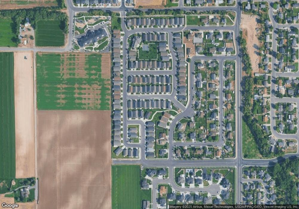
Map
Nearby Homes
- 1116 W 1290 S
- 1338 S 1050 W
- 2003 S 1150 W Unit 1040
- 1333 S 1050 W
- 1146 W 1260 S
- 1216 S 1150 W Unit 19
- 1320 S 950 W
- 1128 W 1150 S Unit 9
- 1192 W 1130 St S Unit 202
- 1068 S 1150 W
- 1183 W 1050 S Unit 212
- 1172 S 880 W
- 1024 S 1170 W
- 1245 W 1000 S
- 1152 W 1000 S
- 1468 S 910 W
- 991 S 930 W
- 1163 S 730 W
- 9022 S 4400 W
- 846 S 880 W
- 1111 W 1290 S Unit 87
- 1125 W 1290 S
- 1103 W 1290 S
- 1131 W 1290 S
- 1118 W 1320 S Unit 97
- 1128 W 1320 S
- 1099 W 1290 S
- 1139 W 1290 S
- 1124 W 1290 S
- 1108 W 1290 S
- 1136 W 1320 S
- 1128 W 1290 S
- 1102 W 1290 S
- 1145 W 1290 S
- 1323 S 1130 W
- 1096 W 1290 S
- 1324 S 1050 W Unit 48
- 1324 S 1050 W
- 1142 W 1320 S Unit 94
- 1328 S 1050 W
Your Personal Tour Guide
Ask me questions while you tour the home.