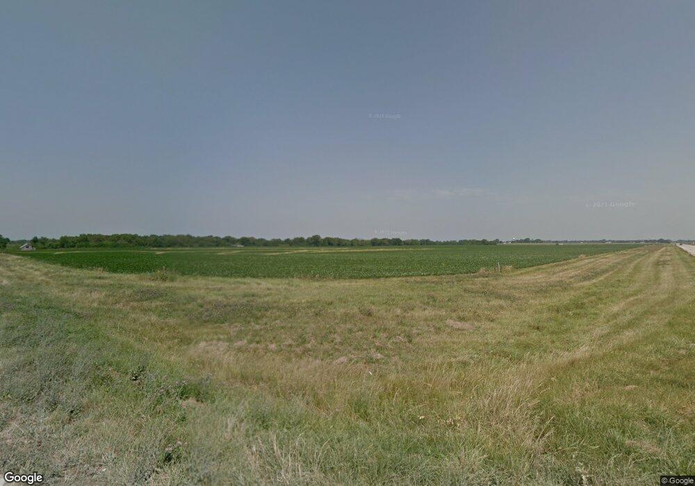
11173 Highway H Hannibal, MO 63401
Estimated Value: $486,000 - $488,215
3
Beds
3
Baths
2,590
Sq Ft
$188/Sq Ft
Est. Value
About This Home
This home is located at 11173 Highway H, Hannibal, MO 63401 and is currently estimated at $487,108, approximately $188 per square foot. 11173 Highway H is a home located in Ralls County with nearby schools including Monroe City Elementary School, Monroe City Middle School, and Monroe City High School.
Ownership History
Date
Name
Owned For
Owner Type
Purchase Details
Closed on
Sep 16, 2011
Sold by
Mccarty Gary Robert and Mccarty Sherry Ann
Bought by
Hunt Stephen W and Hunt Tammy M
Current Estimated Value
Home Financials for this Owner
Home Financials are based on the most recent Mortgage that was taken out on this home.
Original Mortgage
$180,000
Outstanding Balance
$123,145
Interest Rate
4.24%
Mortgage Type
Stand Alone First
Estimated Equity
$363,963
Create a Home Valuation Report for This Property
The Home Valuation Report is an in-depth analysis detailing your home's value as well as a comparison with similar homes in the area
Home Values in the Area
Average Home Value in this Area
Purchase History
| Date | Buyer | Sale Price | Title Company |
|---|---|---|---|
| Hunt Stephen W | -- | Accurate Land Title Co Po Bo |
Source: Public Records
Mortgage History
| Date | Status | Borrower | Loan Amount |
|---|---|---|---|
| Open | Hunt Stephen W | $180,000 |
Source: Public Records
Tax History Compared to Growth
Tax History
| Year | Tax Paid | Tax Assessment Tax Assessment Total Assessment is a certain percentage of the fair market value that is determined by local assessors to be the total taxable value of land and additions on the property. | Land | Improvement |
|---|---|---|---|---|
| 2024 | $3,364 | $55,550 | $3,710 | $51,840 |
| 2023 | $3,104 | $55,550 | $3,710 | $51,840 |
| 2022 | $3,098 | $55,550 | $3,710 | $51,840 |
| 2021 | $3,110 | $55,550 | $3,710 | $51,840 |
| 2020 | $3,147 | $55,550 | $3,710 | $51,840 |
| 2019 | $3,113 | $55,550 | $3,710 | $51,840 |
| 2018 | $2,738 | $52,300 | $3,710 | $48,590 |
| 2017 | $2,733 | $52,300 | $3,710 | $48,590 |
| 2016 | $2,764 | $53,460 | $3,710 | $49,750 |
| 2015 | -- | $53,460 | $3,710 | $49,750 |
| 2014 | -- | $35,050 | $2,030 | $33,020 |
| 2013 | -- | $35,050 | $2,030 | $33,020 |
Source: Public Records
Map
Nearby Homes
- 49374 Laura Dr
- 11167 Hulse Dr
- 11049 Mark Twain Dr
- 000 Spring View Trail
- 11290 Green Acres Trail
- Rt. 6 Spring View Trail
- 0 Sunnyside Ln Unit MIS25069708
- 0 Osage Dr
- 14000 Sydney Rd
- Sunny Unit WPLot001
- 8590 Cr 422
- 8508 Centerville Rd
- 6856 County Road 437
- 47 Minnow Creek Subdivision
- 46 Minnow Creek Subdivision
- 45 Minnow Creek Subdivision
- 11 Minnow Creek Subdivision
- 22 Minnow Creek Subdivision
- 5 Lone Cedar Trail
- 55820 Lone Cedar Trail
- 11173 Highway H
- 11391 Linda Dr
- 11295 Highway H
- 11196 Highway H
- 0 Linda Dr
- 49388 Laura Dr
- 0 Lakeshore Blvd Unit 23033649
- 0 Lakeshore Blvd Unit 22077514
- 0 Lakeshore Blvd Unit 22023685
- 0 Lakeshore Blvd Unit 22023656
- 0 Lakeshore Blvd Unit 22023625
- 49360 Laura Dr
- 49371 E Lakeshore Dr
- 11431 Highway H
- 11427 Highway H
- 49384 E Lakeshore Dr
- 49348 Laura Dr
- 49337 E Lakeshore Dr
- 49338 Laura Dr
- 49342 E Lakeshore Dr
