111732 S 4760 Rd Muldrow, OK 74948
Estimated Value: $141,000 - $162,000
3
Beds
2
Baths
2,096
Sq Ft
$72/Sq Ft
Est. Value
About This Home
This home is located at 111732 S 4760 Rd, Muldrow, OK 74948 and is currently estimated at $151,627, approximately $72 per square foot. 111732 S 4760 Rd is a home located in Sequoyah County with nearby schools including Muldrow Elementary School, Muldrow Middle School, and Muldrow High School.
Ownership History
Date
Name
Owned For
Owner Type
Purchase Details
Closed on
Jun 15, 2020
Sold by
Guilliams Jack D and Needham Barry
Bought by
Guilliams Jack D
Current Estimated Value
Purchase Details
Closed on
Oct 4, 2013
Sold by
Wann Randy
Bought by
Needham Barry L
Home Financials for this Owner
Home Financials are based on the most recent Mortgage that was taken out on this home.
Original Mortgage
$60,000
Interest Rate
4.62%
Mortgage Type
Future Advance Clause Open End Mortgage
Purchase Details
Closed on
Sep 21, 2009
Sold by
House Charles and House Charlotte
Bought by
Wann Leonard and Wann Margie
Create a Home Valuation Report for This Property
The Home Valuation Report is an in-depth analysis detailing your home's value as well as a comparison with similar homes in the area
Home Values in the Area
Average Home Value in this Area
Purchase History
| Date | Buyer | Sale Price | Title Company |
|---|---|---|---|
| Guilliams Jack D | $20,000 | None Available | |
| Needham Barry L | $75,000 | None Available | |
| Wann Leonard | $95,000 | None Available |
Source: Public Records
Mortgage History
| Date | Status | Borrower | Loan Amount |
|---|---|---|---|
| Previous Owner | Needham Barry L | $60,000 |
Source: Public Records
Tax History Compared to Growth
Tax History
| Year | Tax Paid | Tax Assessment Tax Assessment Total Assessment is a certain percentage of the fair market value that is determined by local assessors to be the total taxable value of land and additions on the property. | Land | Improvement |
|---|---|---|---|---|
| 2024 | $177 | $2,370 | $2,329 | $41 |
| 2023 | $168 | $2,370 | $2,329 | $41 |
| 2022 | $168 | $2,370 | $2,329 | $41 |
| 2021 | $168 | $2,371 | $2,332 | $39 |
| 2020 | $168 | $2,371 | $2,332 | $39 |
| 2019 | $168 | $2,371 | $2,332 | $39 |
| 2018 | $168 | $2,371 | $2,332 | $39 |
| 2017 | $733 | $10,313 | $2,332 | $7,981 |
| 2016 | $755 | $10,621 | $2,332 | $8,289 |
| 2015 | $743 | $10,451 | $2,332 | $8,119 |
| 2014 | $743 | $10,451 | $825 | $9,626 |
Source: Public Records
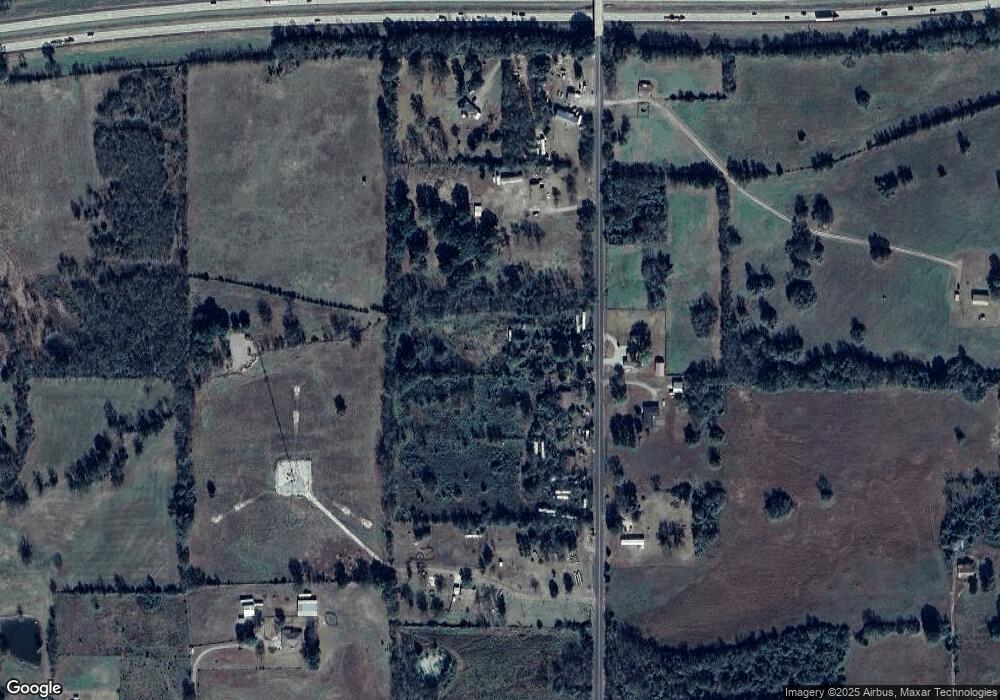
Map
Nearby Homes
- 111587 S 4760 Rd
- 320 Neal Dr
- 111182 S 4760 Rd
- 0 N Cottonwood Rd
- 2000 N Cottonwood Rd
- 110907 S 4760 Rd
- 407 W Ray Fine Blvd
- 405 W Ray Fine Blvd
- 400 W Ray Fine Blvd
- 475495 E 1130 Rd
- TBD W Ray Fine Blvd
- 404 W Ray Fine Blvd
- 110662 S 4750 Rd
- 113 Cherokee Blvd
- TBD U S Highway 64
- 0000 Cottonwood Rd
- 474377 E 1130 Rd
- 473925 E 1117 Rd
- 111324 S 4780 Rd
- 511 Mayfield Dr
- 111755 S 4760 Rd
- 111650 S 4760 Rd
- 111588 S 4760 Rd
- 111878 S 4760 Rd
- 475789 Old Us Highway 64
- 111466 S 4760 Rd
- 111475 S 4760 Rd
- 475974 Old Us Highway 64
- 111448 S 4760 Rd
- 476081 Us Highway 64
- 475940 Old Us Highway 64
- 111467 S 4758 Rd
- 111466 S 4758 Rd
- 111398 S 4760 Rd
- 112086 S 4760 Rd
- 475733 Old Us Highway 64
- 111471 S 4757 Rd
- 111354 S 4760 Rd
- 112188 S 4760 Rd
- 111385 S 4760 Rd