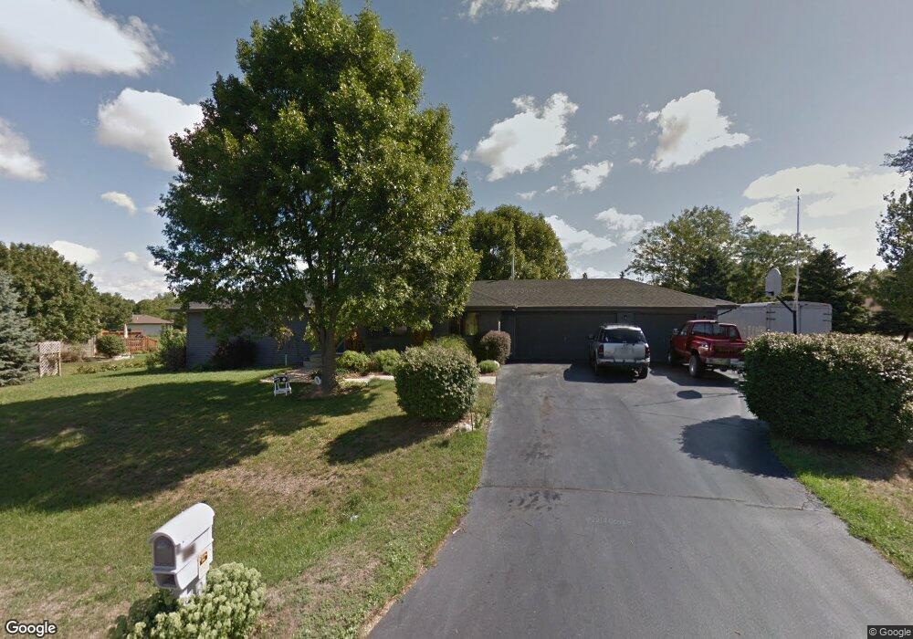
11174 Cedarbrook Rd Roscoe, IL 61073
Estimated Value: $274,782 - $292,000
3
Beds
2
Baths
1,526
Sq Ft
$188/Sq Ft
Est. Value
About This Home
This home is located at 11174 Cedarbrook Rd, Roscoe, IL 61073 and is currently estimated at $287,196, approximately $188 per square foot. 11174 Cedarbrook Rd is a home located in Winnebago County with nearby schools including Ledgewood Elementary School, Kinnikinnick School, and Stone Creek School.
Ownership History
Date
Name
Owned For
Owner Type
Purchase Details
Closed on
May 16, 2024
Sold by
Boken Francis and Surratt Corina J
Bought by
Boken Francis J and Surratt Corina J
Current Estimated Value
Purchase Details
Closed on
May 14, 2024
Sold by
Boken Francis and Surratt Corina J
Bought by
Boken Francis J and Surratt Corina J
Purchase Details
Closed on
Oct 13, 2011
Bought by
Boken Francis and Surratt Corina
Create a Home Valuation Report for This Property
The Home Valuation Report is an in-depth analysis detailing your home's value as well as a comparison with similar homes in the area
Home Values in the Area
Average Home Value in this Area
Purchase History
| Date | Buyer | Sale Price | Title Company |
|---|---|---|---|
| Boken Francis J | -- | None Listed On Document | |
| Boken Francis J | -- | None Listed On Document | |
| Boken Francis | $132,000 | -- |
Source: Public Records
Tax History
| Year | Tax Paid | Tax Assessment Tax Assessment Total Assessment is a certain percentage of the fair market value that is determined by local assessors to be the total taxable value of land and additions on the property. | Land | Improvement |
|---|---|---|---|---|
| 2024 | $5,032 | $72,006 | $12,654 | $59,352 |
| 2023 | $5,040 | $64,620 | $11,356 | $53,264 |
| 2022 | $4,789 | $59,073 | $10,381 | $48,692 |
| 2021 | $4,562 | $55,494 | $9,752 | $45,742 |
| 2020 | $4,469 | $53,478 | $9,398 | $44,080 |
| 2019 | $4,340 | $51,082 | $8,977 | $42,105 |
| 2018 | $4,075 | $49,084 | $8,626 | $40,458 |
| 2017 | $4,194 | $47,342 | $8,320 | $39,022 |
| 2016 | $4,019 | $46,583 | $8,187 | $38,396 |
| 2015 | $3,844 | $45,252 | $7,953 | $37,299 |
| 2014 | $3,542 | $44,680 | $7,852 | $36,828 |
Source: Public Records
Map
Nearby Homes
- 4361 Pfister Ln
- 11818 Balsa Ln
- 3941 Joan Dr
- 9.41 Acres Bluestem Rd
- 11578 Edgemere Terrace
- 11062 Chicory Ridge Way
- 10458 Main St
- 4593 Woodcrest Ln
- 10853 Lemon Grass Ln
- 10662 Chicory Ridge Way
- 410 Pine White #102-B Rd
- 5683 Oak Village Dr Unit 5683
- 11870 River Hills Pkwy Unit 29
- 664 Elberon Way
- 638 Merrion Rd
- 10138 Monarch Rd
- 10138 Monarch Rd Unit 4
- 0000 Joncey Dr
- 11641 Deacon Dr
- 12227 Joncey Dr
- 11128 Cedarbrook Rd
- 11555 Balsa Ln
- 11136 Cedarbrook Rd
- 11143 Cedarbrook Rd
- 4413 Leeash Ct
- 4381 Leeash Ct
- 4309 Grainery Rd
- 11178 Cedarbrook Rd
- 11152 Cedarbrook Rd
- 4312 Cedar Brook Rd
- 11147 Valentine Ct
- 4317 Grainery Rd
- 11148 Valentine Ct
- 4435 Leeash Ct
- 11192 Cedarbrook Rd
- 11612 Balsa Ln
- 4325 Grainery Rd
- 11139 Valentine Ct
- 11134 Valentine Ct
- 11165 Cedarbrook Rd
Your Personal Tour Guide
Ask me questions while you tour the home.