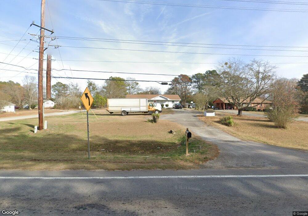
11178 Highway 142 N Covington, GA 30014
Estimated Value: $135,000 - $236,000
--
Bed
--
Bath
1,325
Sq Ft
$132/Sq Ft
Est. Value
About This Home
This home is located at 11178 Highway 142 N, Covington, GA 30014 and is currently estimated at $175,366, approximately $132 per square foot. 11178 Highway 142 N is a home with nearby schools including Flint Hill Elementary School, Cousins Middle School, and Eastside High School.
Ownership History
Date
Name
Owned For
Owner Type
Purchase Details
Closed on
Nov 4, 2022
Sold by
Brookshire Capital Llc
Bought by
Salem Palet Racks Installation Llc
Current Estimated Value
Purchase Details
Closed on
Jan 23, 2020
Sold by
Martin Anne M
Bought by
Anne M Martin Liv Tr
Purchase Details
Closed on
Jan 18, 2008
Sold by
Martin Robert D
Bought by
Martin Anne M
Create a Home Valuation Report for This Property
The Home Valuation Report is an in-depth analysis detailing your home's value as well as a comparison with similar homes in the area
Home Values in the Area
Average Home Value in this Area
Purchase History
| Date | Buyer | Sale Price | Title Company |
|---|---|---|---|
| Salem Palet Racks Installation Llc | $127,000 | -- | |
| Brookshire Capital Llc | $102,000 | -- | |
| Anne M Martin Liv Tr | -- | -- | |
| Martin Anne M | -- | -- |
Source: Public Records
Tax History Compared to Growth
Tax History
| Year | Tax Paid | Tax Assessment Tax Assessment Total Assessment is a certain percentage of the fair market value that is determined by local assessors to be the total taxable value of land and additions on the property. | Land | Improvement |
|---|---|---|---|---|
| 2025 | $1,695 | $68,120 | $10,000 | $58,120 |
| 2024 | $1,593 | $62,880 | $10,000 | $52,880 |
| 2023 | $1,069 | $39,400 | $5,000 | $34,400 |
| 2022 | $911 | $33,560 | $5,000 | $28,560 |
| 2021 | $839 | $27,680 | $5,000 | $22,680 |
| 2020 | $710 | $21,120 | $5,000 | $16,120 |
| 2019 | $666 | $19,520 | $5,000 | $14,520 |
| 2018 | $617 | $17,960 | $4,000 | $13,960 |
| 2017 | $604 | $17,600 | $4,000 | $13,600 |
| 2016 | $604 | $17,600 | $4,000 | $13,600 |
| 2015 | $596 | $17,360 | $4,000 | $13,360 |
| 2014 | $594 | $17,360 | $0 | $0 |
Source: Public Records
Map
Nearby Homes
- 11118 City Pond Rd
- 144 Flat Rock Rd
- 255 Orchard Dr
- 235 Orchard Dr
- 65 Orchard Dr
- 90 Moores Ln
- 75 Otelia Ln
- 0 City Pond Rd Unit 10566978
- 0 City Pond Rd Unit 7538927
- 0 City Pond Rd Unit 10476135
- 430 Gregory Rd
- 515 Gregory Rd
- 30 Cornish Trace Dr
- 90 Cornish Trace Dr
- 12621 Highway 142
- 12621 Georgia 142
- 900 Victoria Ln
- 135 Carole Dr
- 695 Victoria Ln
- 2101 Highway 81
- 11762 Highway 142
- 30+ AC Hwy 142
- 11744 Highway 142
- 35 Flat Rock Rd
- 11761 Georgia 142
- 11761 Highway 142
- 40 Flat Rock Rd
- 11730 Highway 142
- 37 Flat Rock Rd
- 11193 City Pond Rd
- 60 Flat Rock Rd
- 45 Flat Rock Rd
- 11720 Highway 142
- 420 Orchard Ln Unit 420
- 420 Orchard Ln Unit II
- 420 Orchard Ln Unit 22A
- 420 Orchard Ln
- 410 Orchard Ln Unit II
- 410 Orchard Ln Unit 23A
- 11834 Highway 142