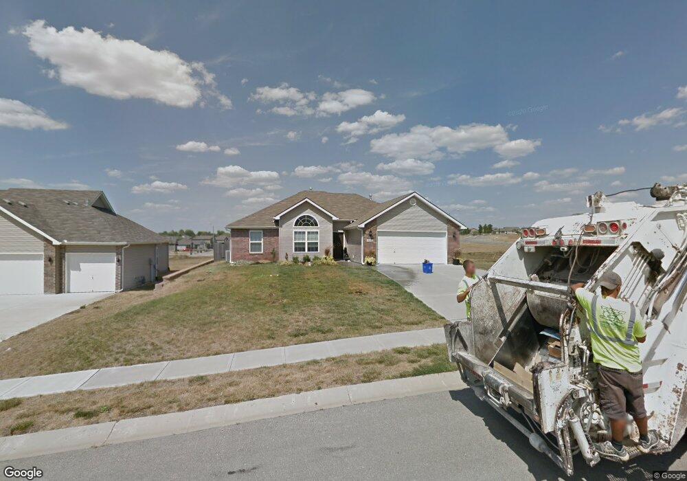
1118 Bristol Dr Raymore, MO 64083
Estimated Value: $309,000 - $360,000
3
Beds
2
Baths
1,588
Sq Ft
$207/Sq Ft
Est. Value
About This Home
This home is located at 1118 Bristol Dr, Raymore, MO 64083 and is currently estimated at $329,332, approximately $207 per square foot. 1118 Bristol Dr is a home located in Cass County with nearby schools including Stonegate Elementary School, Raymore-Peculiar South Middle School, and Raymore-Peculiar Senior High School.
Ownership History
Date
Name
Owned For
Owner Type
Purchase Details
Closed on
Oct 4, 2013
Sold by
Ismert Patrice A
Bought by
Flagstar Bank Fsb
Current Estimated Value
Purchase Details
Closed on
Oct 9, 2009
Sold by
Brookside Builders Llc
Bought by
Ismert Patrice A
Home Financials for this Owner
Home Financials are based on the most recent Mortgage that was taken out on this home.
Original Mortgage
$166,920
Interest Rate
5.1%
Mortgage Type
FHA
Purchase Details
Closed on
Sep 24, 2008
Sold by
Brookside Investment Inc
Bought by
Brookside Builders Llc
Home Financials for this Owner
Home Financials are based on the most recent Mortgage that was taken out on this home.
Original Mortgage
$130,000
Interest Rate
6.57%
Mortgage Type
Construction
Create a Home Valuation Report for This Property
The Home Valuation Report is an in-depth analysis detailing your home's value as well as a comparison with similar homes in the area
Home Values in the Area
Average Home Value in this Area
Purchase History
| Date | Buyer | Sale Price | Title Company |
|---|---|---|---|
| Flagstar Bank Fsb | -- | None Available | |
| Ismert Patrice A | -- | None Available | |
| Brookside Builders Llc | -- | -- |
Source: Public Records
Mortgage History
| Date | Status | Borrower | Loan Amount |
|---|---|---|---|
| Previous Owner | Ismert Patrice A | $166,920 | |
| Previous Owner | Brookside Builders Llc | $130,000 |
Source: Public Records
Tax History
| Year | Tax Paid | Tax Assessment Tax Assessment Total Assessment is a certain percentage of the fair market value that is determined by local assessors to be the total taxable value of land and additions on the property. | Land | Improvement |
|---|---|---|---|---|
| 2025 | $2,819 | $39,170 | $6,380 | $32,790 |
| 2024 | $2,819 | $34,640 | $5,800 | $28,840 |
| 2023 | $2,815 | $34,640 | $5,800 | $28,840 |
| 2022 | $2,584 | $31,580 | $5,800 | $25,780 |
| 2021 | $2,584 | $31,580 | $5,800 | $25,780 |
| 2020 | $2,621 | $31,470 | $5,800 | $25,670 |
| 2019 | $2,531 | $31,470 | $5,800 | $25,670 |
| 2018 | $2,328 | $27,960 | $4,830 | $23,130 |
| 2017 | $2,132 | $27,960 | $4,830 | $23,130 |
| 2016 | $2,132 | $26,570 | $4,830 | $21,740 |
| 2015 | $2,133 | $26,570 | $4,830 | $21,740 |
| 2014 | $2,034 | $25,330 | $4,830 | $20,500 |
| 2013 | -- | $25,330 | $4,830 | $20,500 |
Source: Public Records
Map
Nearby Homes
- 1103 Carlisle Dr
- 1105 Creekside Ct
- 727 Country Ln
- 1510 Colt Cir
- 817 Clancy Ct
- 1108 Yokley Dr
- 1519 Colt Cir
- 901 W Lucy Webb Rd
- 814 Coventry Ln
- 713 S Sunset Ln
- 1228 Larkspur Place
- 1301 Larkspur Place
- 1227 Larkspur Place
- 1309 Larkspur Place
- 1717 Overbrook Ln
- 1408 Larkspur Place
- 1011 Camelback Ct
- 1117 Sendera Trail
- 1035 Mission Park Trail
- 1009 Balboa Trail
- 1120 Bristol Dr
- 1117 Bristol Dr Unit 1117
- 1119 Bristol Dr
- 819 Garnes St
- 820 Garnes St
- 1122 Bristol Dr
- 1110 Bristol Dr
- 1121 Bristol Dr
- 1111 Bristol Dr
- 1124 Bristol Dr
- 1106 Bristol Dr
- 818 Garnes St
- 817 Garnes St
- 1123 Bristol Dr
- 1109 Bristol Dr
- 1126 Bristol Dr
- 1104 Bristol Dr
- 815 Garnes St
- 816 Garnes St
- 1143 W Linda Ln
Your Personal Tour Guide
Ask me questions while you tour the home.