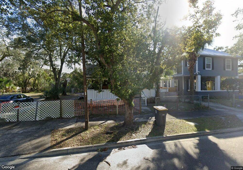
1118 E 12th St Jacksonville, FL 32206
Phoenix NeighborhoodEstimated Value: $128,000 - $181,000
5
Beds
2
Baths
1,246
Sq Ft
$119/Sq Ft
Est. Value
About This Home
This home is located at 1118 E 12th St, Jacksonville, FL 32206 and is currently estimated at $148,198, approximately $118 per square foot. 1118 E 12th St is a home located in Duval County with nearby schools including Long Branch Elementary School, Matthew W. Gilbert Middle School, and William M. Raines High School.
Ownership History
Date
Name
Owned For
Owner Type
Purchase Details
Closed on
Apr 10, 2019
Sold by
1118 East 12Th Street Land Trust
Bought by
Owens Susie
Current Estimated Value
Home Financials for this Owner
Home Financials are based on the most recent Mortgage that was taken out on this home.
Original Mortgage
$98,188
Outstanding Balance
$88,020
Interest Rate
5.62%
Mortgage Type
FHA
Estimated Equity
$60,178
Purchase Details
Closed on
Oct 18, 2017
Sold by
County Of Duval
Bought by
1118 East 12Th Street Land Trust
Create a Home Valuation Report for This Property
The Home Valuation Report is an in-depth analysis detailing your home's value as well as a comparison with similar homes in the area
Home Values in the Area
Average Home Value in this Area
Purchase History
| Date | Buyer | Sale Price | Title Company |
|---|---|---|---|
| Owens Susie | $100,000 | Sunshine Title Corporation | |
| 1118 East 12Th Street Land Trust | $4,200 | None Available |
Source: Public Records
Mortgage History
| Date | Status | Borrower | Loan Amount |
|---|---|---|---|
| Open | Owens Susie | $98,188 |
Source: Public Records
Tax History
| Year | Tax Paid | Tax Assessment Tax Assessment Total Assessment is a certain percentage of the fair market value that is determined by local assessors to be the total taxable value of land and additions on the property. | Land | Improvement |
|---|---|---|---|---|
| 2026 | $1,123 | $83,159 | -- | -- |
| 2025 | $921 | $83,159 | -- | -- |
| 2024 | $884 | $80,816 | -- | -- |
| 2023 | $884 | $78,463 | $0 | $0 |
| 2022 | $795 | $76,178 | $0 | $0 |
| 2021 | $788 | $73,960 | $0 | $0 |
| 2020 | $787 | $72,939 | $5,865 | $67,074 |
| 2019 | $1,142 | $52,045 | $5,865 | $46,180 |
| 2018 | $432 | $12,202 | $5,865 | $6,337 |
| 2017 | $398 | $11,015 | $4,845 | $6,170 |
| 2016 | $376 | $8,847 | $0 | $0 |
| 2015 | $673 | $26,420 | $0 | $0 |
| 2014 | $645 | $25,205 | $0 | $0 |
Source: Public Records
Map
Nearby Homes
- 1130 E 12th St
- 1114 E 12th St
- 1138 E 12th St
- 2131 Phoenix Ave
- 2127 Phoenix Ave
- 1125 E 11th St
- 1131 E 11th St
- 2117 Phoenix Ave
- 1119 E 12th St
- 1137 E 12th St
- 1136 E 11th St
- 1126 E 11th St
- 1117 E 12th St
- 2132 Franklin St
- 1111 E 11th St
- 2111 Phoenix Ave
- 2105 Phoenix Ave
- 2138 Franklin St
- 1219 Milmor St
- 1147 E 12th St
Your Personal Tour Guide
Ask me questions while you tour the home.