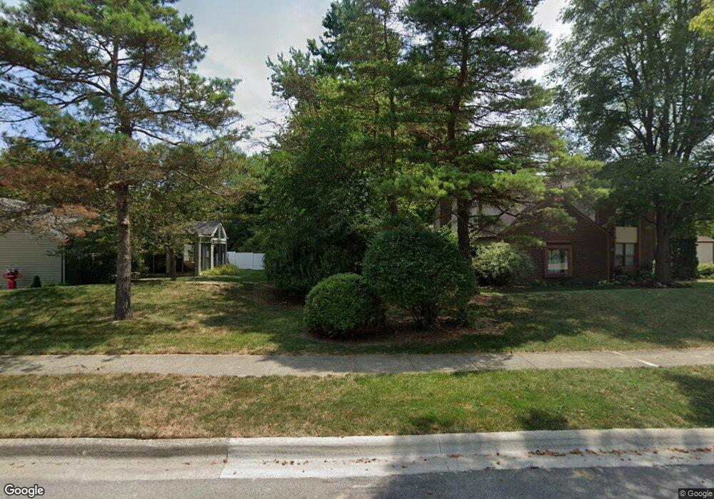
1118 Firth Ave Unit TWENTY Columbus, OH 43085
Devon Triangle NeighborhoodEstimated Value: $122,000 - $156,000
3
Beds
1
Bath
979
Sq Ft
$142/Sq Ft
Est. Value
About This Home
This home is located at 1118 Firth Ave Unit TWENTY, Columbus, OH 43085 and is currently estimated at $138,898, approximately $141 per square foot. 1118 Firth Ave Unit TWENTY is a home located in Franklin County with nearby schools including Windsor Stem Acadmey, Linden-Mckinley Stem School On Arcadia, and Columbus Performance Academy.
Ownership History
Date
Name
Owned For
Owner Type
Purchase Details
Closed on
Apr 27, 2001
Sold by
Walker Charlotte A
Bought by
Eiland Teresa
Current Estimated Value
Purchase Details
Closed on
Jan 20, 1983
Bought by
Walker Charlotte A
Purchase Details
Closed on
Mar 1, 1978
Create a Home Valuation Report for This Property
The Home Valuation Report is an in-depth analysis detailing your home's value as well as a comparison with similar homes in the area
Home Values in the Area
Average Home Value in this Area
Purchase History
| Date | Buyer | Sale Price | Title Company |
|---|---|---|---|
| Eiland Teresa | $55,900 | -- | |
| Walker Charlotte A | -- | -- | |
| -- | $17,000 | -- |
Source: Public Records
Tax History Compared to Growth
Tax History
| Year | Tax Paid | Tax Assessment Tax Assessment Total Assessment is a certain percentage of the fair market value that is determined by local assessors to be the total taxable value of land and additions on the property. | Land | Improvement |
|---|---|---|---|---|
| 2024 | $1,753 | $39,070 | $5,290 | $33,780 |
| 2023 | $1,731 | $39,070 | $5,290 | $33,780 |
| 2022 | $806 | $15,540 | $2,590 | $12,950 |
| 2021 | $807 | $15,540 | $2,590 | $12,950 |
| 2020 | $808 | $15,540 | $2,590 | $12,950 |
| 2019 | $780 | $12,850 | $2,170 | $10,680 |
| 2018 | $769 | $12,850 | $2,170 | $10,680 |
| 2017 | $808 | $12,850 | $2,170 | $10,680 |
| 2016 | $837 | $12,640 | $2,910 | $9,730 |
| 2015 | $760 | $12,640 | $2,910 | $9,730 |
| 2014 | $762 | $12,640 | $2,910 | $9,730 |
| 2013 | $417 | $14,035 | $3,220 | $10,815 |
Source: Public Records
Map
Nearby Homes
- 1463 Gibbard Ave
- 0 Leona Ave
- 841 Saint Clair Ave
- 940 Shoemaker Ave
- 1082-1084 Peters Ave
- 883 Mansfield Ave
- 1186 Saint Clair Ave
- 997-999 Gibbard Ave
- 810-812 E 3rd Ave
- 940-942 Leona Ave
- 570 N Ohio Ave
- 800-802 E Starr Ave
- 796 Gibbard Ave
- 560 N Ohio Ave
- 790-792 E Starr Ave
- 542-544 Trevitt St
- 780-782 Gibbard Ave
- 779 Gibbard Ave
- 927 Camden Ave
- 773-775 E 3rd Ave
- 1122 Firth Ave Unit TWENTY
- 1128 Firth Ave Unit TWENTY
- 1106 Firth Ave Unit TWENTY
- 1125 Firth Ave Unit TWENTY
- 1117 Firth Ave Unit TWENTY
- 1129 Firth Ave Unit TWENTY
- 1113 Firth Ave Unit TWENTY
- 1109 Firth Ave Unit TWENTY
- 1103 Firth Ave Unit TWENTY
- 873 N 20th St
- 1195 E 5th Ave Unit REAR
- 1199 E 5th Ave
- 1424 Gibbard Ave
- 865 N 20th St
- 873 N 19th St
- 1205 E 5th Ave
- 876 N 20th St
- 1608 Gibbard Ave
- 1474 Gibbard Ave
- 1133 Gibbard Ave