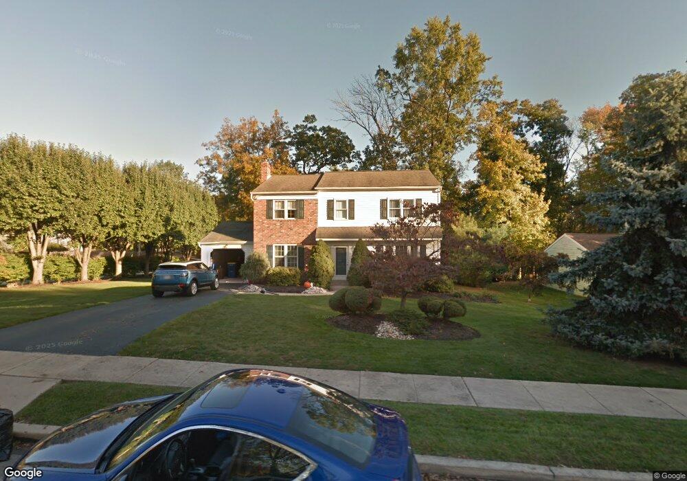
1118 Pierce Rd Norristown, PA 19403
Estimated Value: $512,000 - $549,000
3
Beds
3
Baths
2,180
Sq Ft
$246/Sq Ft
Est. Value
About This Home
This home is located at 1118 Pierce Rd, Norristown, PA 19403 and is currently estimated at $535,529, approximately $245 per square foot. 1118 Pierce Rd is a home located in Montgomery County with nearby schools including Paul V Fly Elementary School, East Norriton Middle School, and Charles Blockson Middle School.
Ownership History
Date
Name
Owned For
Owner Type
Purchase Details
Closed on
May 16, 2008
Sold by
Germacheid Lynne Marie and Germscheid Rowland
Bought by
Germscheid Lynne Marie
Current Estimated Value
Home Financials for this Owner
Home Financials are based on the most recent Mortgage that was taken out on this home.
Original Mortgage
$138,000
Interest Rate
5.91%
Create a Home Valuation Report for This Property
The Home Valuation Report is an in-depth analysis detailing your home's value as well as a comparison with similar homes in the area
Home Values in the Area
Average Home Value in this Area
Purchase History
| Date | Buyer | Sale Price | Title Company |
|---|---|---|---|
| Germscheid Lynne Marie | -- | None Available |
Source: Public Records
Mortgage History
| Date | Status | Borrower | Loan Amount |
|---|---|---|---|
| Closed | Germscheid Lynne Marie | $138,000 |
Source: Public Records
Tax History Compared to Growth
Tax History
| Year | Tax Paid | Tax Assessment Tax Assessment Total Assessment is a certain percentage of the fair market value that is determined by local assessors to be the total taxable value of land and additions on the property. | Land | Improvement |
|---|---|---|---|---|
| 2025 | $7,679 | $163,000 | $47,620 | $115,380 |
| 2024 | $7,679 | $163,000 | $47,620 | $115,380 |
| 2023 | $7,590 | $163,000 | $47,620 | $115,380 |
| 2022 | $7,538 | $163,000 | $47,620 | $115,380 |
| 2021 | $7,490 | $163,000 | $47,620 | $115,380 |
| 2020 | $7,258 | $163,000 | $47,620 | $115,380 |
| 2019 | $7,090 | $163,000 | $47,620 | $115,380 |
| 2018 | $7,091 | $163,000 | $47,620 | $115,380 |
| 2017 | $6,677 | $163,000 | $47,620 | $115,380 |
| 2016 | $6,614 | $163,000 | $47,620 | $115,380 |
| 2015 | $6,268 | $163,000 | $47,620 | $115,380 |
| 2014 | $6,268 | $163,000 | $47,620 | $115,380 |
Source: Public Records
Map
Nearby Homes
- 1507 Potshop Rd
- 3122 Taft Rd
- 1600 Potshop Rd
- 1534 N Trooper Rd
- 3218 Nottingham Rd
- 1403 Reiner Rd
- 3006 Potshop Rd
- 107 Caspian Ln
- 204 Caspian Ln
- 2624 Hawthorn Dr
- 1734 Hallman Dr
- 203 Stony Way
- 210 Stony Way
- 515 Faith Dr
- 805 Sandra Ln
- 2617 Hawthorn Dr
- 2648 Hawthorn Dr
- 519 W Germantown Pike
- 41 Umbrell Dr
- 123 Barley Sheaf Dr Unit 23
- 1116 Pierce Rd
- 3301 Hayes Rd
- 1114 Pierce Rd
- 3302 E Hayes Rd
- 3300 E Hayes Rd
- 1113 Pierce Rd
- 3304 E Hayes Rd
- 3225 Eisenhower Rd
- 1112 Pierce Rd
- 1109 Pierce Rd
- 3306 E Hayes Rd
- 3259 Hayes Rd
- 3305 E Hayes Rd
- 102 Champagne Cir
- 3308 E Hayes Rd
- 1110 Pierce Rd
- 3226 Eisenhower Rd
- 104 Champagne Cir
- 3310 E Hayes Rd
- 3307 E Hayes Rd